Mapping effectively with vehicle-based imaging

Yotta is offering an innovative vehicle-based imaging service that will provide accurate high-resolution panoramic street-level views of highway features. The vehicle is equipped with a 60 megapixel panoramic camera developed by Yotta and uses Applanix satellite positioning technology to log the exact location of each image. The vehicle cam improves street-level mapping operations with accurate 3D images of buildings and other highway features, such as signs, trees, barriers and fences. Called Y360, the veh
July 23, 2012 Read time: 2 mins
5153 Yotta DCL is offering an innovative vehicle-based imaging service that will provide accurate high-resolution panoramic street-level views of highway features. The vehicle is equipped with a 60 megapixel panoramic camera developed by Yotta and uses Applanix satellite positioning technology to log the exact location of each image. The vehicle cam improves street-level mapping operations with accurate 3D images of buildings and other highway features, such as signs, trees, barriers and fences. Called Y360, the vehicle's digital camera captures images every 2m, with the position calculated by combining GPS, inertial and optical tracking systems. These images are processed by Yotta software that gives the precise position and detailed information for each feature captured by the camera. According to the firm, Y360 offers a huge step forward in technology. The vehicle is being used for an array of applications including highway asset collection for local authorities, highways agencies and their contractors, and 3D mapping for utility companies.

For more information on companies in this article

Related Content

  • Prepare for ‘interoperability on steroids’
    May 19, 2023
    The gathering of Europe’s toll professionals offers a chance for views to be exchanged by senior people on a number of big issues: and there’s currently an awful lot to think about
  • Know what lies below with Leica’s DSX 3D utility detection system
    April 11, 2025

    Emergency road repair work needn’t create yet another emergency by hitting unknow utility pipes and other systems.  

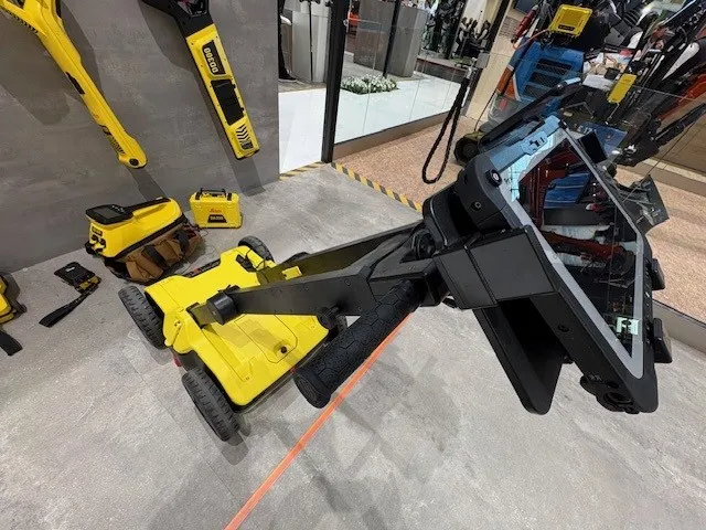
    Leica Geosystems says its DSX utility detection solution can quickly be walked over the area where work is about to start and immediately show an excavator operator any dangers that lie below.

    It locates, visualises and map utilities. Unlike any other ground penetrating radar system, the Leica DSX maximises productivity with cutting-edge software that automates data analysis and creates a 3D utility map of the field.

  • Smartphone solutions assure paving quality at a lofty height
    April 1, 2022
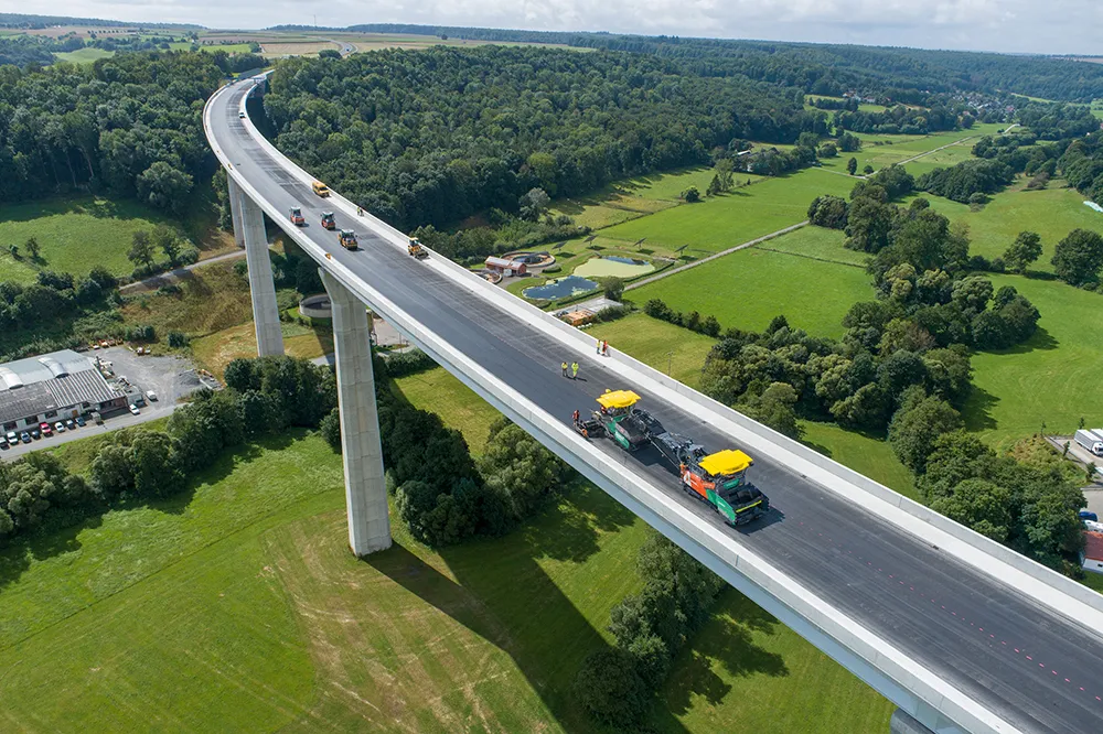
    Road construction project with digital documentation and temperature monitoring by Vögele
  • Tarmac’s productivity boost with new software
    August 9, 2018
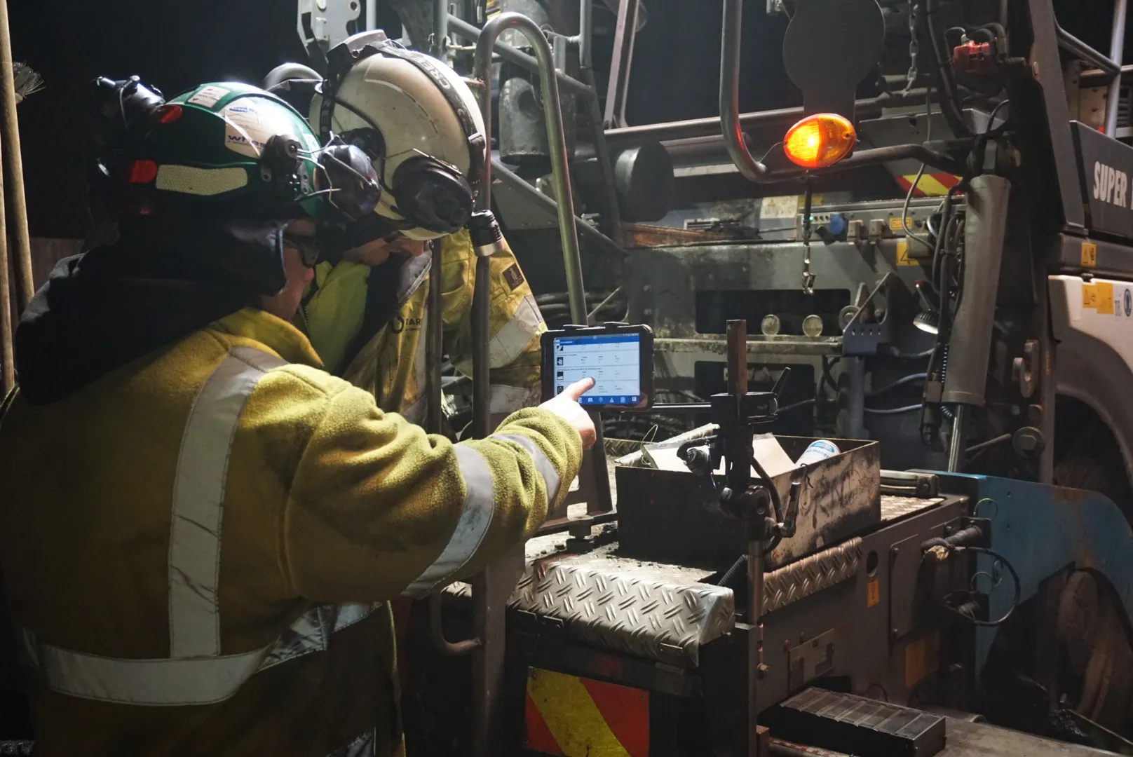
    A highly sophisticated software system is at the heart of a major boost to productivity and efficiency from contractor Tarmac. The firm is utilising the latest logistics software from Germany to improve its performance. The company is the first contractor in the UK to employ the BPO ASPHALT software developed by Volz Consulting in Germany. This advanced planning and real-time software technology can be utilised to optimise road construction logistics and boost productivity. The software allows Tarmac’s co