Leica’s new Digicat xf-Series cable locators and transmitters

Leica Geosystems has launched the latest additions to the Digisystem product range: the Leica Digicat xf-Series. With Leica Geosystems’ new xf-Series cable locators and transmitters, users are said to be able to accurately detect and trace utilities faster and over a greater distance. The Leica Digicat xf-Series is said by the Swiss firm to have been speci?cally designed with long distance tracing in mind. The ability to trace transmitter frequencies of 512Hz and 640Hz provides users with a greater tracing
April 3, 2013 Read time: 2 mins

Leica Geosystems has launched the latest additions to the Digisystem product range: the Leica Digicat xf-Series.

With 265 Leica Geosystems’ new xf-Series cable locators and transmitters, users are said to be able to accurately detect and trace utilities faster and over a greater distance.

The Leica Digicat xf-Series is said by the Swiss firm to have been specifically designed with long distance tracing in mind.

The ability to trace transmitter frequencies of 512Hz and 640Hz provides users with a greater tracing range as well as the ability to locate sewer-camera inspection systems. All new models are said by Leica to represent the latest design in cable technology. With modern Digital Signal Processing (DSP) and intelligent software, the locators, says Leica, continue to make light work of ground surveys.

All new models of the Leica Digicat xf-Series are said to make locating underground cables and pipes a simple and efficient task, increasing the operator’s productivity.

The Digicat 550i xf and 650i xf offer users the added benefit of depth estimation.

The Digicat 600i xf and 650i xf locators have the added benefit of an internal 32MB memory and Bluetooth wireless connectivity. Both models are said to integrate seamlessly with mobile mapping technology to log survey data, in addition to enabling wireless Bluetooth data transfer.

The newly developed Leica Digitex xf signal transmitters deliver a higher power output than previous models with the addition of extra low tracing frequencies. This improved performance is said by Leica to allow users to trace services over a greater distance, improve service detection in areas of high signal interference and to improve depth estimation when using a depth locator.

For more information on companies in this article

Related Content

  • Leica’s high-tech 5
    August 14, 2012
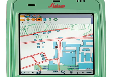
    The new Leica Zeno 5 is said to be an entrylevel, rugged personal digital assistant (PDA) for organisations that require a durable compact device with integrated modem and high-sensitive GPS. The Leica Geosystems technology supports field workers by combining a mobile phone with asset collection and management capabilities. The Leica Zeno 5 is said to be shock resistant, withstands a drop from to 1.8m, and is protected against water and dust. The large 9.4cm screen is optimised for sunlight readability and
  • GPS machine control improves construction accuracy
    February 29, 2012
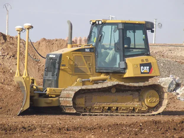
    The latest GPS systems will improve the accuracy of many construction operations. Mike Woof reports. The pace of technological advancement is fast in the GPS market. Despite a market downturn, the GPS solution providers continue to invest in research and development. And there is evidence to suggest that the contracting sector is more keen than ever to employ the latest technology because of the cost benefits this can bring.
  • Leica Cyclone teams up with NCTech’s iSTAR camera database
    January 19, 2016
    Users of Leica Cyclone, a 3D point cloud processing software, can now automatically import and align high-dynamic range (HDR) data from NCTech’s iSTAR camera database. The result is enhanced images delivered faster and easier, according to both companies. “It is also the accuracy to which these images fit the 3D point cloud data that is paramount. NCTech’s iSTAR camera produces high-quality HDR imaging at the accuracy everyone expects,” said Faheem Khan, vice president, business development for Leica Geosys
  • GPS guidance delivers accurate machine control
    July 12, 2012
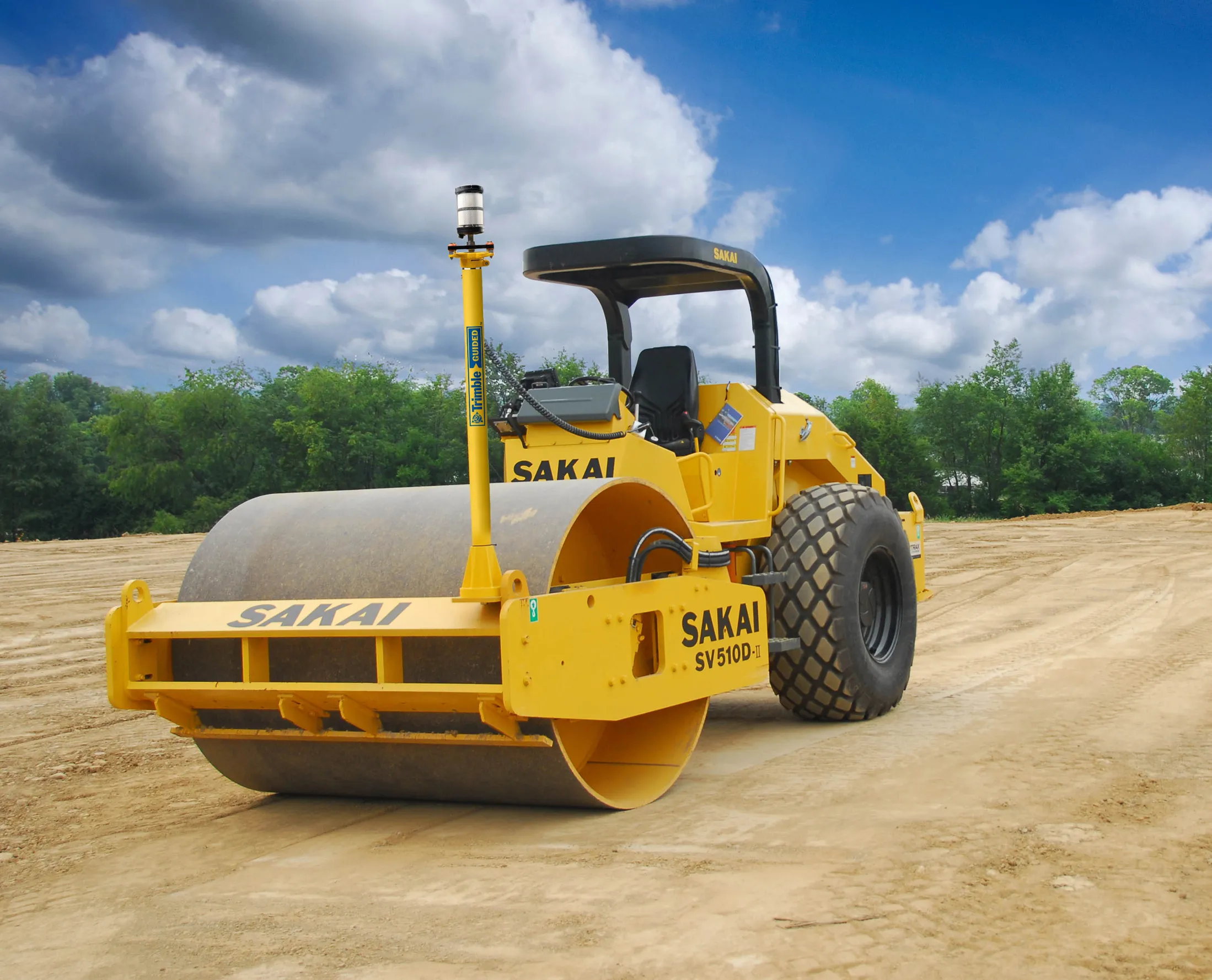
    GPS systems for machine control can make massive reductions in operating costs for contractors. Using GPS systems for machine control can make massive reductions in operating costs for contractors and the pace of technology improvements from manufacturers has been rapid. This market segment is dominated by Leica Geosystems, Trimble and Topcon, all of which introduced an array of new products earlier this year. Topcon's dozer control system first seen in public at the Intermat show in Paris, offers notable c