Leica Geosystems’ tools for site monitoring and handling GPR data

Leica Geosystems is offering new tools for construction firms for remote monitoring and for handling data from ground penetrating radar. With the GeoMoS Imaging package, users can stay up-to-date on remote monitoring; the live view allows observation and recording of areas of interest. A joystick provides remote access to the total station so that personnel can increase productivity and reduce time in the field.
October 11, 2017 Read time: 2 mins
265 Leica Geosystems is offering new tools for construction firms for remote monitoring and for handling data from ground penetrating radar.


With the GeoMoS Imaging package, users can stay up-to-date on remote monitoring; the live view allows observation and recording of areas of interest. A joystick provides remote access to the total station so that personnel can increase productivity and reduce time in the field.

The GeoMoS Imaging system offers automated visual inspection and enables remote observation of the site, maximising user output. With the live stream camera and the availability of repeated recorded images, users can obtain a better understanding of a project.

An automatic monitoring cycle combines monitoring data with images. Professionals can export detailed reports to observe changes of ageing infrastructure that allow for better planning.    

For large- or small-scale projects where environmental monitoring is key for safety, GeoMoS Imaging provides solutions designed for harsh and hazardous conditions.

Meanwhile the firm is also offering new utility post-processing software that delivers CAD drawings in less time. The firm says that its DX Office Vision package allows inexperienced CAD users to digitally map detected underground utilities. This utilises ground penetrating radar (GPR) data from the field in a CAD drawing. Users can obtain professional 3D CAD drawings and visualise the detected underground utilities. With DX Office Vision, post-processing for all ground penetrating data requires no add-on or third party software. The package is said to help reduce post-processing time and eliminate steps when converting data or choosing parameters. The software guides the user to create a reliable 3D map of the underground-detected utilities with minimal training.

For more information on companies in this article

Related Content

  • Construction adapting with Machine control Technologies
    June 18, 2015
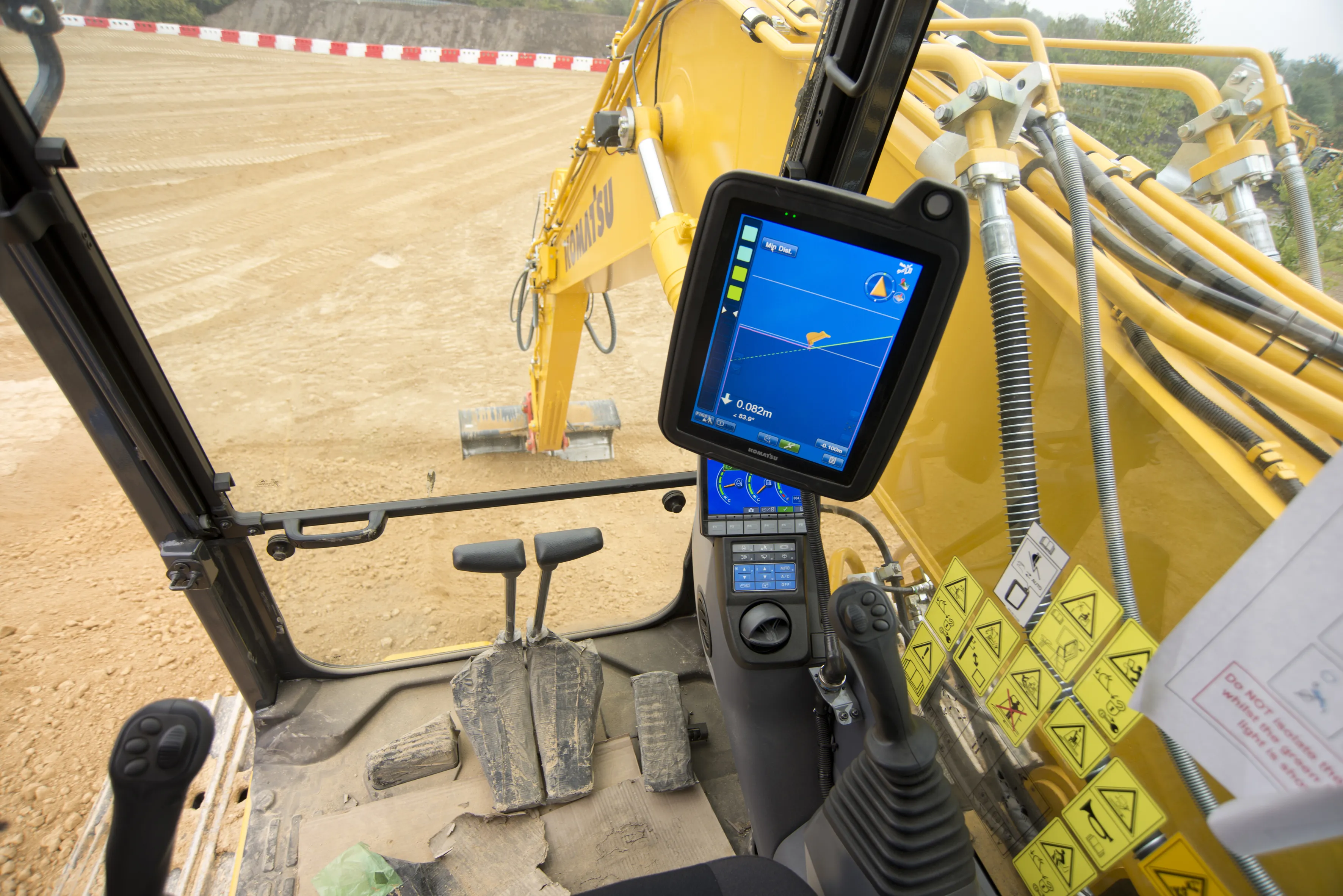
    Machine control technologies are revolutionising construction – Dan Gilkes writes Electronic control of engines, transmissions and hydraulic systems, primarily to reduce exhaust emissions and boost productivity, is also providing manufacturers with an opportunity to incorporate increasingly complex machine control into their equipment. This in turn has the potential to make the machinery more productive, further cutting fuel consumption as part of a virtuous operational circle.
  • Topcon offers compact digital imaging solution
    February 2, 2015
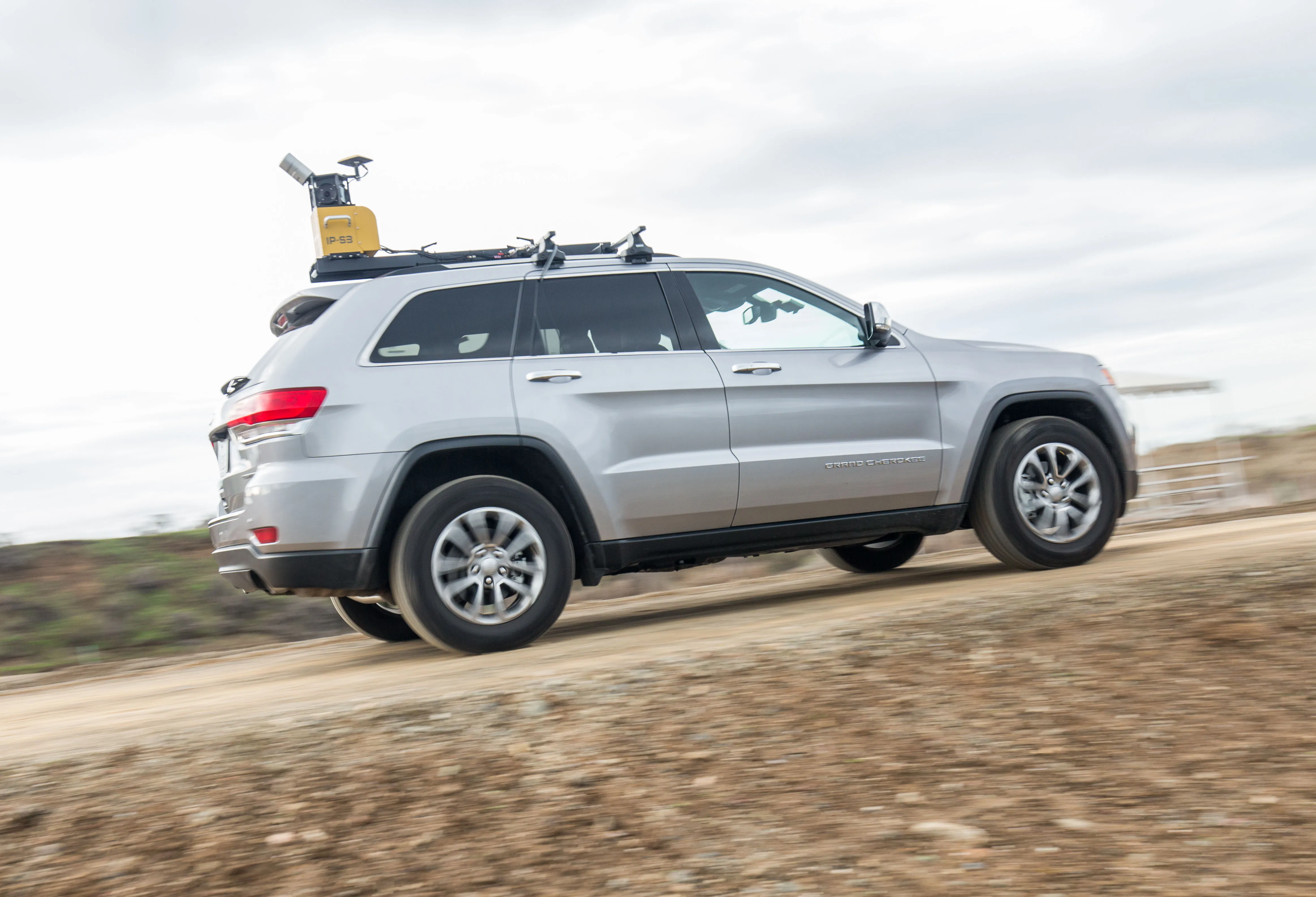
    Topcon claims that its new IP-S3 system offers a compact and lightweight 3D imaging solution. This high density system is said to be five times faster than previous generation tools, while weighing in at just 18kg. Scanning at 700,000 points/second, the system is said to offer data-rich results with its 30MP panoramic imagery and offers a mobile mapping powerhouse, according to the firm. The company says that this high-density and high-resolution camera comes in a unit that is much smaller than its predeces
  • Topcon offers compact digital imaging solution
    January 6, 2017
    Topcon claims that its new IP-S3 system offers a compact and lightweight 3D imaging solution. This high density system is said to be five times faster than previous generation tools, while weighing in at just 18kg. Scanning at 700,000 points/second, the system is said to offer data-rich results with its 30MP panoramic imagery and offers a mobile mapping powerhouse, according to the firm. The company says that this high-density and high-resolution camera comes in a unit that is much smaller than its predeces
  • HxGN Live 2014: Hexagon CEO lays out firm’s machine control vision
    June 5, 2014
    Hexagon CEO and president Ola Rollén has outlined the company and its global brand network’s vision for the future of mining and construction machine control. Speaking during a Hexagon media luncheon Q&A during the four-day HxGN Live 2014 conference being staged at the MGM Grand Hotel in Las Vegas, Rollén emphasised the strength of Hexagon’s Mining Division which currently consists of Leica Geosystems surveying equipment; SAFEmine mine safety and collision avoidance systems; Devex and Leica Geosystems Minin