
Leica Geosystems new machine control tool

Leica Geosystems is aiming to improve compaction quality with its new machine control tool. The Leica iCON roller package can deliver benefits to both compaction quality and productivity. The package provides the compactor operator with an on-screen visualisation of completed passes, displaying where they have occurred and where more are needed for consistent results. The different colours on the display show the operator where work has been carried and to what degree. Using this system means that costly
February 7, 2017 Read time: 2 mins
265 Leica Geosystems is aiming to improve compaction quality with its new machine control tool. The Leica iCON roller package can deliver benefits to both compaction quality and productivity. The package provides the compactor operator with an on-screen visualisation of completed passes, displaying where they have occurred and where more are needed for consistent results.

The different colours on the display show the operator where work has been carried and to what degree. Using this system means that costly reworking can be avoided as pass count progress is constantly tracked. According to the firm, the package offers precise positioning and accurate visualisation technology and operators can manage all data directly in the cab of the machine. This helps to maximise productivity and increase safety even on challenging sites.

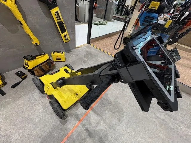
The system is said to be simple to install and can be used on any soil and asphalt roller. It has a rugged panel that is protected for use on any heavy construction worksite, withstanding extreme temperatures and environmental conditions.

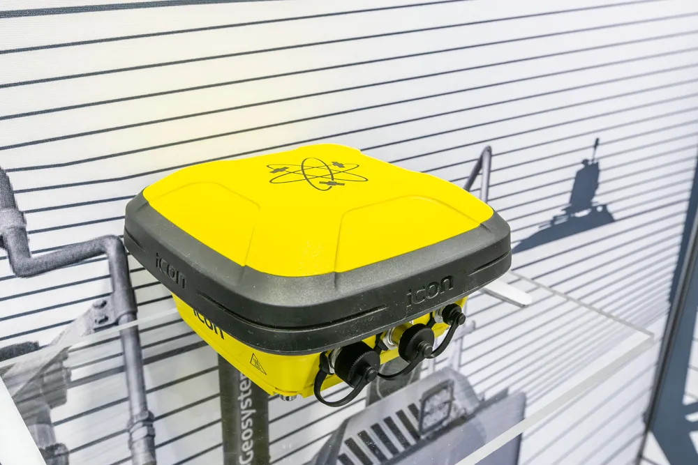
The firm says that as the system uses its high-accuracy GNSS solutions or total stations even for work inside tunnels, precise positioning is achieved and continuously mapped. Job data is stored in the memory and telematics transfers this information via the cloud to the office for consistent job monitoring. The new iCON roller also includes a reporting tool to document all compaction work.

For more information on companies in this article

Related Content

  • Know what lies below with Leica’s DSX 3D utility detection system
    April 11, 2025

    Emergency road repair work needn’t create yet another emergency by hitting unknow utility pipes and other systems.  

    Leica Geosystems says its DSX utility detection solution can quickly be walked over the area where work is about to start and immediately show an excavator operator any dangers that lie below.

    It locates, visualises and map utilities. Unlike any other ground penetrating radar system, the Leica DSX maximises productivity with cutting-edge software that automates data analysis and creates a 3D utility map of the field.

  • Sophisticated paving technology from BPO
    October 24, 2019
    Advanced technology is enabling asphalt road surfaces to be laid with greater efficiency
  • Trimble Dimensions 2012 exhibits revolutionising construction technology
    December 14, 2012
    More than 3,500 visitors from 80 countries attending Trimble Dimensions 2012 gained a vital insight into how information technology is revolutionising working practises in, among other fields, heavy civil construction, building construction, surveying, mapping and GIS, and transport and logistics Guy Woodford was among those attending the three-day event at The Mirage hotel in Las Vegas, USA Themed Transform the Way the World Works, Trimble Dimensions 2012 had new hardware and software launches aplenty, as
  • Versatile machine control package from Leica Geosystems
    April 25, 2024

    Leica Geosystems is widening its array of 3D machine control solutions with the introduction of its Leica iCON gps 120. This smart antenna offers customers a versatile machine control solution.