Keeping in touch

Leica Geosystems says that its latest package offers an efficient solution for monitoring communications. The updated GeoMoS v5.1 monitoring software features M-Com, which can integrate total stations, GNSS receivers and antennae, geotechnical sensors, software, and IT communication infrastructure. In addition the revised Leica GeoMoS v5.1 also supports the latest Microsoft Windows 7 operating system. The firm says that this package is easy to install and use, while increasing the mobility of periodic or sh
February 6, 2012 Read time: 2 mins
A sophisticated communications package for remote equipment is available from Leica Geosystems
265 Leica Geosystems says that its latest package offers an efficient solution for monitoring communications. The updated GeoMoS v5.1 monitoring software features M-Com, which can integrate total stations, GNSS receivers and antennae, geotechnical sensors, software, and IT communication infrastructure. In addition the revised Leica GeoMoS v5.1 also supports the latest 2794 Microsoft Windows 7 operating system. The firm says that this package is easy to install and use, while increasing the mobility of periodic or short term monitoring systems. The Leica ComBox can link sensors in the field to the office using mobile internet using a PC with dedicated monitoring software. All types of different sensors are supported by the new communication box. Both communication boxes consist of a compact outdoor housing with a lock system and wall brackets for mounting. An optional component of Leica M-Com is the MonBox30, an energy-efficient Intel -based mini-industrial computer with a robust housing and pre-installed Leica GeoMoS monitoring software. This device can ensure that monitoring will continue in the event of a loss of communication.

For more information on companies in this article

Related Content

  • Positioning tools continue to improve
    July 16, 2012
    Topcon says that its new IP-S2 package combines GNNS positioning capabilities with inertial sensors, while the firm also has a solution for customers wanting to mix and match receiver components. The IP-S2 is a vehicle-mounted, mobile 3D tool that offers precision mapping and surveying capabilities. The package collects data using 3D laser scanners, LIDAR, and/or cameras, and this is then integrated, time-stamped and geo-referenced. The customer can use this assembled data to combine LIDAR point cloud and d
  • Intelligent bulldozers provide productivity boost
    September 27, 2013
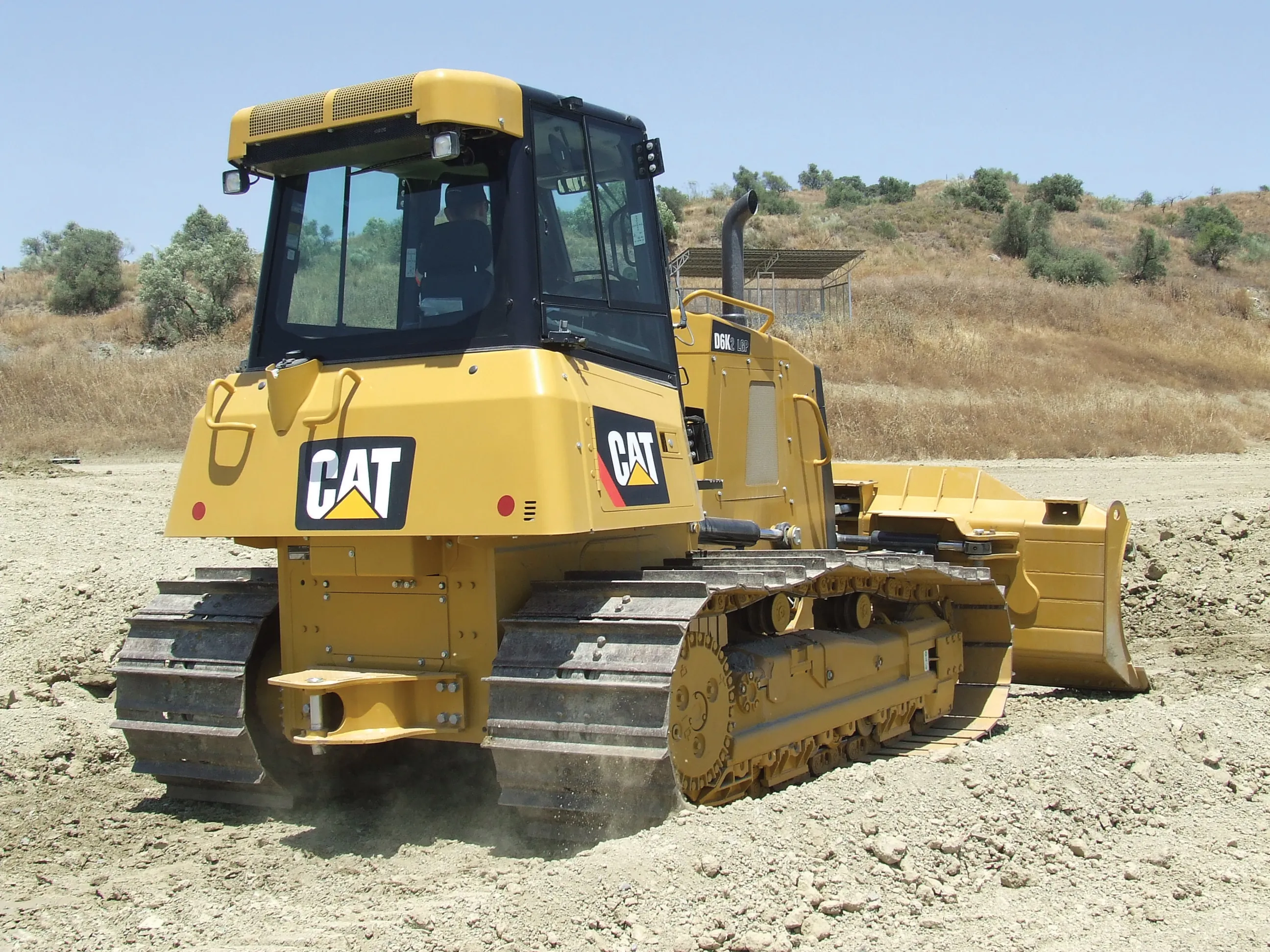
    New smart dozers provide faster working and greater efficiency - Mike Woof reports Both Caterpillar and Komatsu are making key moves in offering intelligent bulldozing capabilities on their latest machines. In the medium-sized bulldozer market, both companies have sophisticated new models that will increase both productivity and finish quality, while lowering running costs for the user.
  • Construction adapting with Machine control Technologies
    June 18, 2015
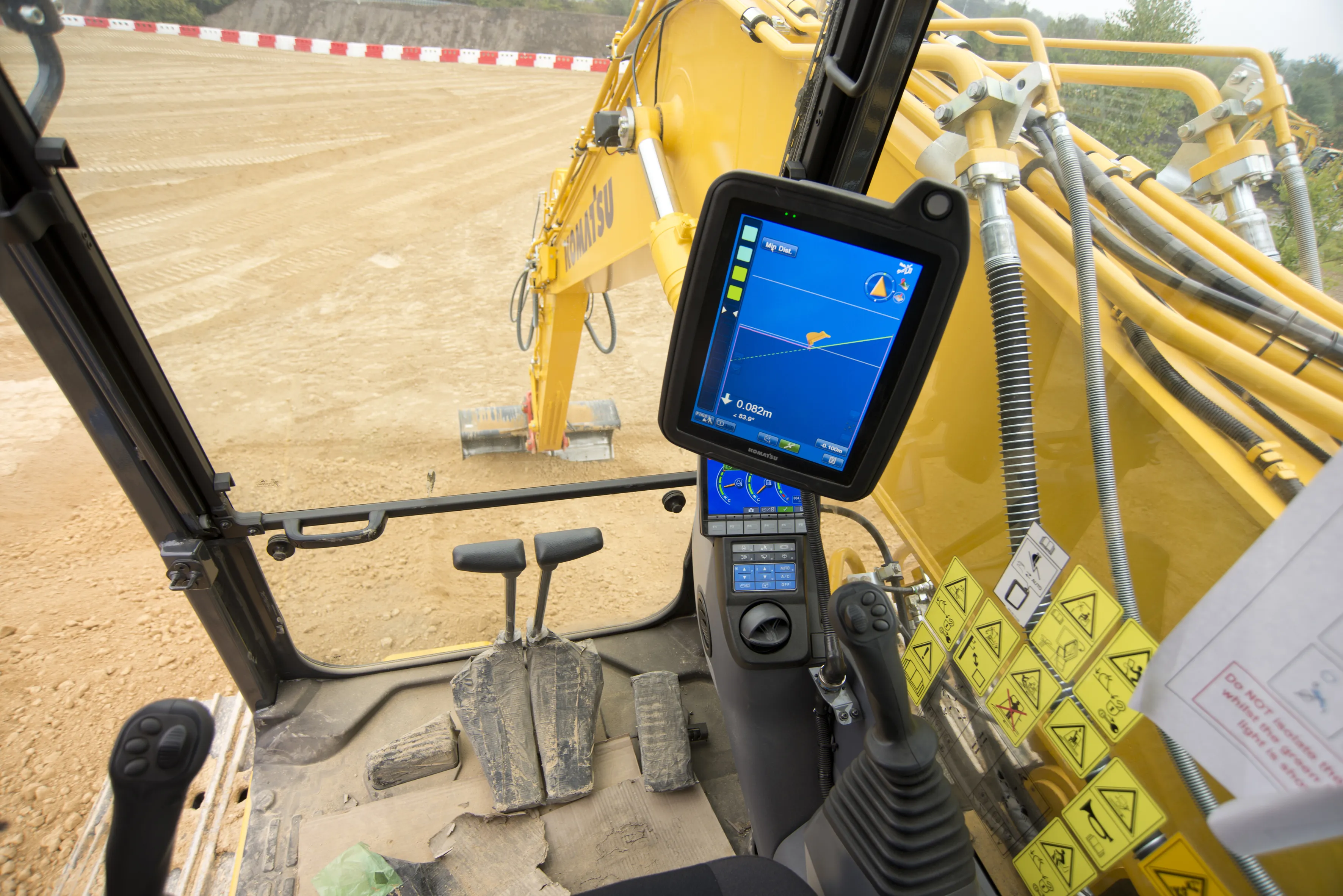
    Machine control technologies are revolutionising construction – Dan Gilkes writes Electronic control of engines, transmissions and hydraulic systems, primarily to reduce exhaust emissions and boost productivity, is also providing manufacturers with an opportunity to incorporate increasingly complex machine control into their equipment. This in turn has the potential to make the machinery more productive, further cutting fuel consumption as part of a virtuous operational circle.
  • Machine control advances from key suppliers
    May 21, 2018
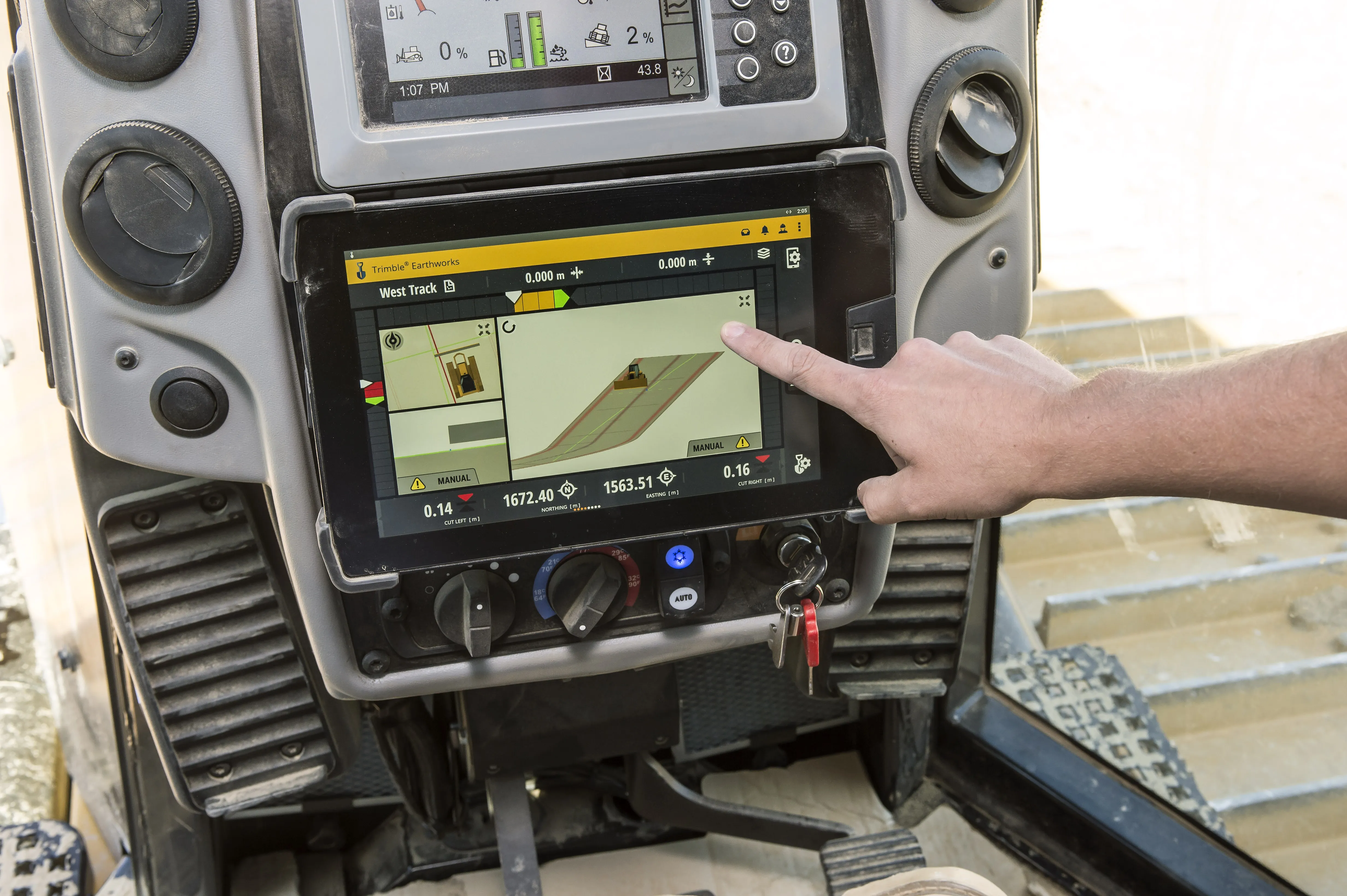
    The leading suppliers of machine control technology are now offering advanced new solutions for customers – Mike Woof writes. Important developments in machine control technologies are now coming to market. The major suppliers are making major advances to offer new solutions for customers, which can help boost accuracy while reducing the time needed to carry out a project, as well as minimising the need for reworking. From Topcon Positioning Group comes a sophisticated 3D machine control package that the fi