Information integration

The sophisticated Leica MobileMatriX 4.1 package provides a key tool for integrating the new Leica Viva Total Stations with other technologies. Highly sophisticated, the Leica MobileMatriX package is said to be the most advanced solution available for mobile GIS applications. The system can be used in combination with GNSS, Total Stations, Level, Digital Cameras, and Laser Range Finders (LRF). Using the imaging support of the new TS15 and TS11, users of the Leica MobileMatriX package can take an image with
February 17, 2012 Read time: 1 min
The sophisticated 265 Leica MobileMatriX 4.1 package provides a key tool for integrating the new Leica Viva Total Stations with other technologies. Highly sophisticated, the Leica MobileMatriX package is said to be the most advanced solution available for mobile GIS applications. The system can be used in combination with GNSS, Total Stations, Level, Digital Cameras, and Laser Range Finders (LRF). Using the imaging support of the new TS15 and TS11, users of the Leica MobileMatriX package can take an image with a Total Station and store it directly in a GIS database. Image assisted documentation enables users to supplement GIS archives with on-site information. In addition, the Leica MobileMatriX v4.1 can be operated with the latest Leica Viva GNSS receivers as well as having the capability to import RINEX data.

For more information on companies in this article

Related Content

  • Cat’s wider range
    May 20, 2019
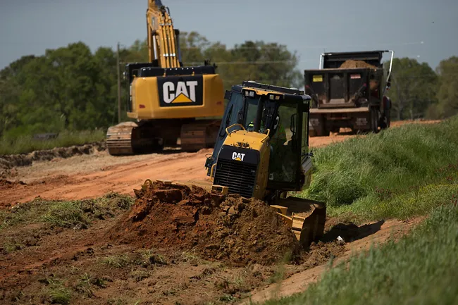
    Caterpillar is offering new machine control packages for use with dozers Caterpillar is widening its range of solutions for dozers with the introduction of the GRADE with 3D system for its D3K2, D4K2 and D5K2 models. This package is an automated grade control system using GNSS technology to position the machine's blade, without operator input, from first rough cut to finish grade. In addition, GRADE with 3D incorporates the Cat AccuGrade Ready Option. This system allows the use of universal-total-stati
  • A new construction ICON
    January 3, 2013
    More efficient construction operations should be the benefit of the new technology from Leica Geosystems. The firm is introducing its latest Leica iCON telematics package, which is said to offer increased efficiency for machine control operations on site and remote machinery fleet management. The Leica iCON telematics package is a web-based suite of tools that allows contractors to increase the efficiency of machine control operations on site and manage machinery fleets. This is a key component in iCONnect,
  • Integrated corridor management offers transportation efficiency
    May 28, 2013
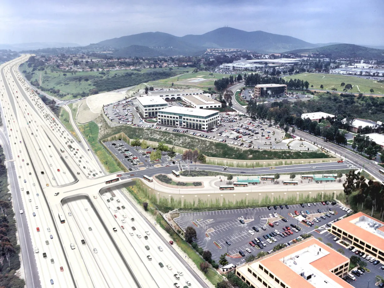
    In the Intelligent Transportation Systems world, the concept of managing roadway or transportation corridors is not new. Smart Corridor concepts have existed for some time, such as the Santa Monica Smart Corridor system from the 1990s. Across the world, a new emerging model for operating roadway transportation networks called integrated corridor management (ICM) has emerged. This is particularly true in California, where several new ICM projects have or are being deployed. There is a new paradigm for corrid