Information integration

The sophisticated Leica MobileMatriX 4.1 package provides a key tool for integrating the new Leica Viva Total Stations with other technologies. Highly sophisticated, the Leica MobileMatriX package is said to be the most advanced solution available for mobile GIS applications. The system can be used in combination with GNSS, Total Stations, Level, Digital Cameras, and Laser Range Finders (LRF). Using the imaging support of the new TS15 and TS11, users of the Leica MobileMatriX package can take an image with
February 17, 2012 Read time: 1 min
The sophisticated 265 Leica MobileMatriX 4.1 package provides a key tool for integrating the new Leica Viva Total Stations with other technologies. Highly sophisticated, the Leica MobileMatriX package is said to be the most advanced solution available for mobile GIS applications. The system can be used in combination with GNSS, Total Stations, Level, Digital Cameras, and Laser Range Finders (LRF). Using the imaging support of the new TS15 and TS11, users of the Leica MobileMatriX package can take an image with a Total Station and store it directly in a GIS database. Image assisted documentation enables users to supplement GIS archives with on-site information. In addition, the Leica MobileMatriX v4.1 can be operated with the latest Leica Viva GNSS receivers as well as having the capability to import RINEX data.

For more information on companies in this article

Related Content

  • GOMACO paves the way with GP4
    March 13, 2017
    GOMACO says that its new GP4, unveiled at CONEXPO-CON/AGG 2017, is able to pave widths of up to 12.2m. The machine features GOMACO’s latest technology including a smart telescoping frame, smart pivot arms and extreme steering capabilities, as well as the latest G+ control package.
  • VIDEO: Telstra drone LIDAR maps Melbourne’s EastLink Mullum Tunnel
    April 13, 2018
    One of the applications for LIDAR is to make high resolution 3-D maps. Self-driving cars are pre-loaded with a LIDAR map of the trials area in which they are permitted to fully self-drive themselves. The cars also have their own LIDAR scanner which captures a real-time LIDAR view of the vehicle’s surroundings. The fully autonomous driving system within these prototype cars compares the real-time LIDAR view against the pre-loaded LIDAR map to significantly increase the accuracy of their self-positioning
  • Jenoptik’s Vector SR gets UK HOTA approval
    October 1, 2019
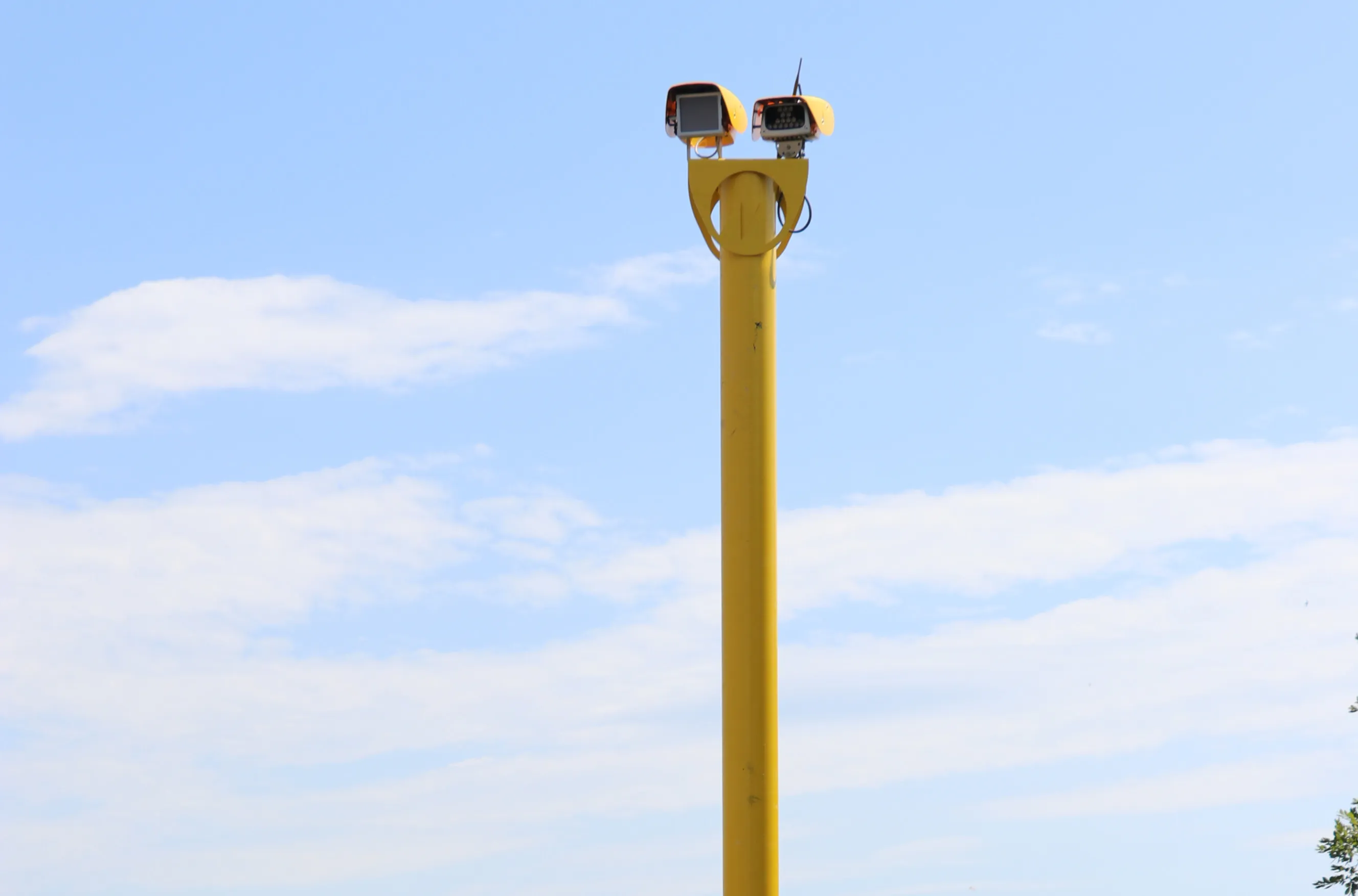
    Vector SR, a new Spot Speed camera from Jenoptik, has achieved Home Office Type Approval – HOTA - a UK certification.
  • 10 billion pixel camera offered by EarthCam.net
    January 6, 2017
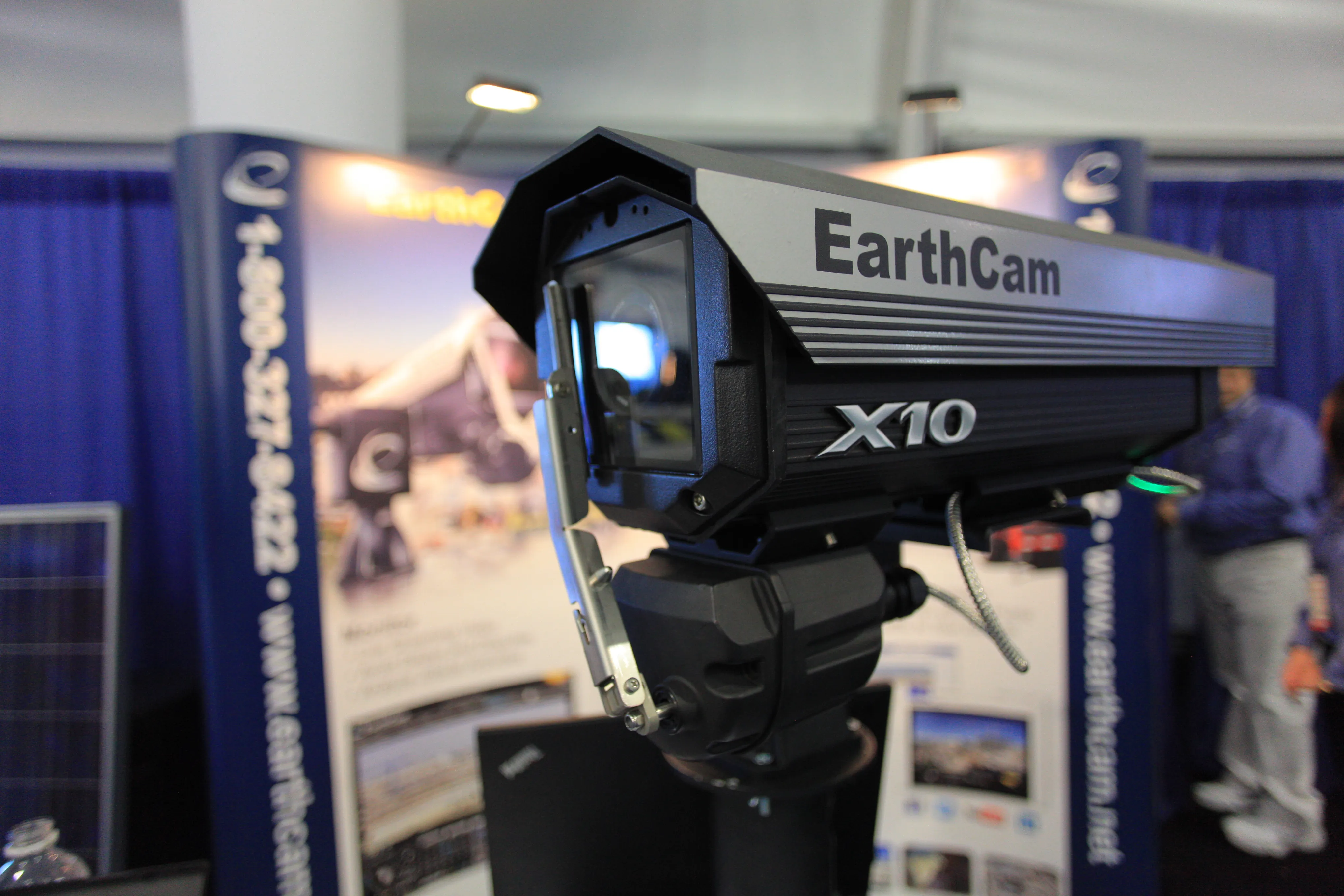
    To say the GigapixelCam X10 is a high-powered camera is an understatement. The camera, unveiled by EarthCam.net at Conexpo 2014, is capable of taking 10 billion pixel, 360º panoramic images. “We help monitor, document and promote,” said Brian Cury, CEO and founder of the company. The monitoring comes in the form of live-streaming video that can bring the job site to a desktop. The documenting is achieved through archiving photos throughout the process, should a dispute surface.