Improved survey data handling

Leica Geosystems says that its Leica MobileMatriX v3.0 package can be used to synchronise survey data with an enterprise geodatabase, transfer digital images taken from a mobile phone via Bluetooth and link it with a feature, in addition to many other improvements. The firms says that its MobileMatriX v3.0 package offers a flexible and powerful mobile GIS application and can be used in both large projects and small projects involving only a few field crews. Survey data can be replicated within the editing p
August 2, 2012 Read time: 2 mins
265 Leica Geosystems says that its Leica MobileMatriX v3.0 package can be used to synchronise survey data with an enterprise geodatabase, transfer digital images taken from a mobile phone via Bluetooth and link it with a feature, in addition to many other improvements. The firms says that its MobileMatriX v3.0 package offers a flexible and powerful mobile GIS application and can be used in both large projects and small projects involving only a few field crews.

Survey data can be replicated within the editing process for customers using ArcGIS to manage spatial data. This allows users to extend their geospatial applications to their colleagues in the field, creating unprecedented data management capabilities. By implementing Leica MobileMatriX 3.0 survey data synchronization in the project workflow, a client can now connect to an enterprise database and modify or re-compute the survey measurements. This improves the workflow between field and office and can provide time and cost savings up to 50%. With Leica MobileMatriX 3.0, the subcontractor can provide a finished geodatabase to the client, without resorting to a conversion process and current analysis has shown a potential time/cost savings of up to and beyond 30-50%.

For more information on companies in this article

Related Content

  • Sophisticated surveying tool from Topcon
    September 4, 2019
    Topcon Postioning is now offering a sophisticated surveying tool in the shape of an auto-collimating total station for surveying professionals looking for a motorised solution. The firm says that this rugged waterproof total station benefits from the latest TSshield technology for advanced security and maintenance. The system can also be upgraded to Autotracking when the customer is ready to advance further to robotic applications. The GT-503M can be used for Tunnel Guidance and Periodic Monitoring applicat
  • Macleod Simmonds introduces GPR offering
    October 17, 2012
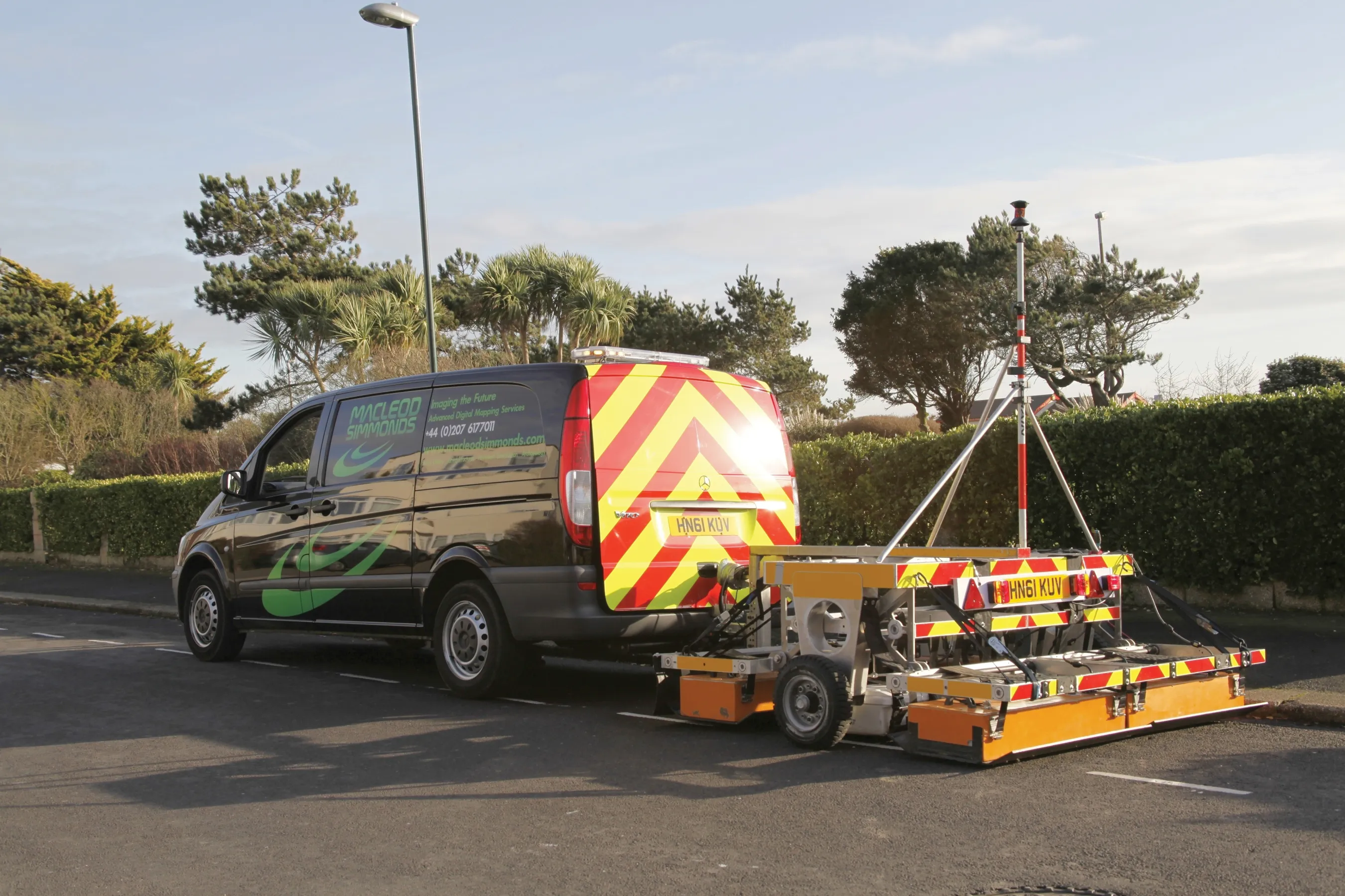
    UK-based Macleod Simmonds Ltd (MSL) has launched a GPR (Ground Probing Radar) consultancy providing both a survey service and software package which, the firm says, takes the output from multi-antenna surveys to a “whole new dimension”. The firm says it can now provide survey capability for almost any type of terrain, application or location that end users might require. For the existing roadway or smooth surface terrain survey location, MSL has a Carriageway System based on a multi-antenna set up from Ital
  • New machines boost concrete paving performance and accuracy
    July 21, 2015
    New concrete paving machines offer greater versatility as well as performance – Mike Woof writes GOMACO said that its Next Generation Commander III paver has been designed to increase safety and all-round visibility, while offering improved performance. This four track paver benefits from the firm’s latest G+ Connect technology as well as 3D guidance options. A key to the improved performance is the G+ control system while the machine also has power from a quiet, low-emission Tier 4 engine. Fuel consumption
  • Remote surveying and scanning
    January 18, 2022
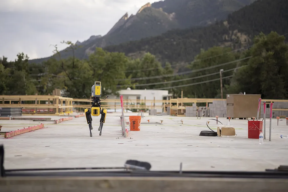
    Remote surveying and scanning can be achieved using the autonomous robotic system available from Trimble. The package combines the Spot robot autonomous rover unit with the Trimble X7 3D laser scanner and Trimble FieldLink software.