Improved survey data handling

Leica Geosystems says that its Leica MobileMatriX v3.0 package can be used to synchronise survey data with an enterprise geodatabase, transfer digital images taken from a mobile phone via Bluetooth and link it with a feature, in addition to many other improvements. The firms says that its MobileMatriX v3.0 package offers a flexible and powerful mobile GIS application and can be used in both large projects and small projects involving only a few field crews. Survey data can be replicated within the editing p
August 2, 2012 Read time: 2 mins
265 Leica Geosystems says that its Leica MobileMatriX v3.0 package can be used to synchronise survey data with an enterprise geodatabase, transfer digital images taken from a mobile phone via Bluetooth and link it with a feature, in addition to many other improvements. The firms says that its MobileMatriX v3.0 package offers a flexible and powerful mobile GIS application and can be used in both large projects and small projects involving only a few field crews.

Survey data can be replicated within the editing process for customers using ArcGIS to manage spatial data. This allows users to extend their geospatial applications to their colleagues in the field, creating unprecedented data management capabilities. By implementing Leica MobileMatriX 3.0 survey data synchronization in the project workflow, a client can now connect to an enterprise database and modify or re-compute the survey measurements. This improves the workflow between field and office and can provide time and cost savings up to 50%. With Leica MobileMatriX 3.0, the subcontractor can provide a finished geodatabase to the client, without resorting to a conversion process and current analysis has shown a potential time/cost savings of up to and beyond 30-50%.

For more information on companies in this article

Related Content

  • All-new road markings on world’s highways
    June 28, 2013
    Road marking manufacturers have many innovative new products either currently being used on major highways or set to be made available within the next couple of years. Guy Woodford reports. Daan Roosegaarde, an artist, and Hans Goris, a manager at Dutch construction and infrastructure firm Heijmans, are developing intriguing new products for the road markings market. One innovation involves painting road markings with glow-in-the-dark paint.
  • GPS control delivers more accurate compaction performance
    July 13, 2012
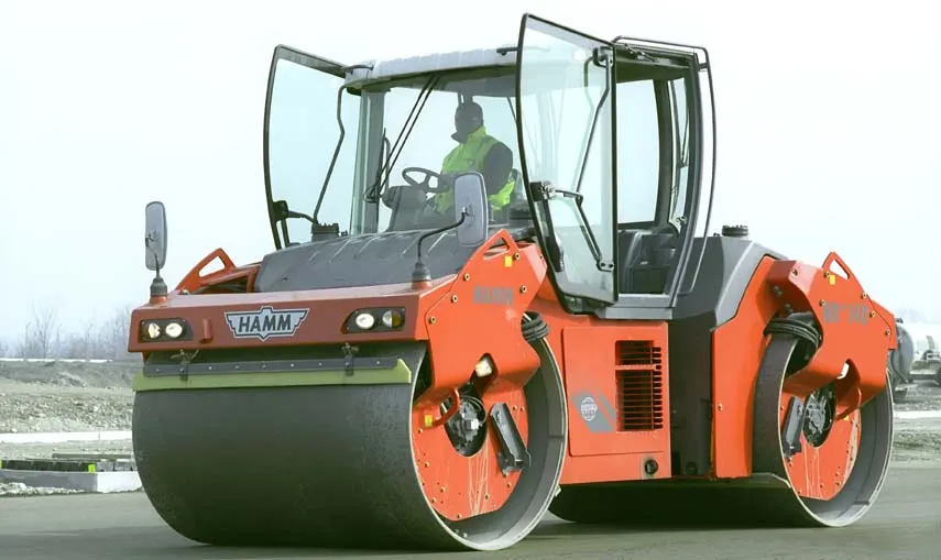
    The latest compaction technology offers users the benefits of more accurate performance by combining heat detection and compaction metering with GPS In Europe several leading manufacturers now offer more accurate compaction technology, with Ammann, BOMAG, Dynapac and Hamm all having developed advanced control packages. The technologies vary widely but the advantages are broadly similar, with smart compaction allowing the user a greater degree of control over the compaction process and delivering major reduc
  • Florida and one.network in lane closure pilot
    August 30, 2022
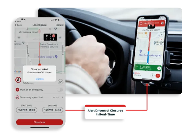
    The project will use Live Link, one.network's proprietary shared road management platform that connects with major GPS providers in the US.
  • Mobile measuring of road markings
    February 9, 2012
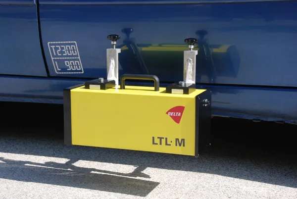
    Road markings and raised pavements markers (RPMs) are important tools in securing efficient and safe traffic flow, and the high visibility of both is an important task in road maintenance, says DELTA.