Improved survey data handling

Leica Geosystems says that its Leica MobileMatriX v3.0 package can be used to synchronise survey data with an enterprise geodatabase, transfer digital images taken from a mobile phone via Bluetooth and link it with a feature, in addition to many other improvements. The firms says that its MobileMatriX v3.0 package offers a flexible and powerful mobile GIS application and can be used in both large projects and small projects involving only a few field crews. Survey data can be replicated within the editing p
August 2, 2012 Read time: 2 mins
265 Leica Geosystems says that its Leica MobileMatriX v3.0 package can be used to synchronise survey data with an enterprise geodatabase, transfer digital images taken from a mobile phone via Bluetooth and link it with a feature, in addition to many other improvements. The firms says that its MobileMatriX v3.0 package offers a flexible and powerful mobile GIS application and can be used in both large projects and small projects involving only a few field crews.

Survey data can be replicated within the editing process for customers using ArcGIS to manage spatial data. This allows users to extend their geospatial applications to their colleagues in the field, creating unprecedented data management capabilities. By implementing Leica MobileMatriX 3.0 survey data synchronization in the project workflow, a client can now connect to an enterprise database and modify or re-compute the survey measurements. This improves the workflow between field and office and can provide time and cost savings up to 50%. With Leica MobileMatriX 3.0, the subcontractor can provide a finished geodatabase to the client, without resorting to a conversion process and current analysis has shown a potential time/cost savings of up to and beyond 30-50%.

For more information on companies in this article

Related Content

  • Gritty decisions need Smart Modelling
    April 11, 2022
    Mark Fisher, principal strategic consultant with Amey Consulting, explains how its data-led Smart Winter modelling improved a UK local government’s winter gritting efficiency by 18%.
  • Trimble’s new drone package offers versatility
    April 26, 2018
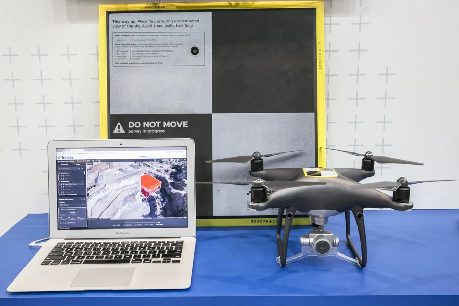
    Trimble is now offering a sophisticated new drone package called Trimble Stratus, through the firm’s partnership with drone-mapping and analytics company Propeller Aero. According to Martin Wagener, worldwide product implementation manager for the firm, the system allows the user to employ any type of commercial quality drone. The important part of the package is the Aeropoint, a small flat plate developed by Propellor. This is placed on the ground and acts as a point of reference for all of the drone’s ge
  • New concrete testing technologies improve speed, safety and quality
    July 8, 2016
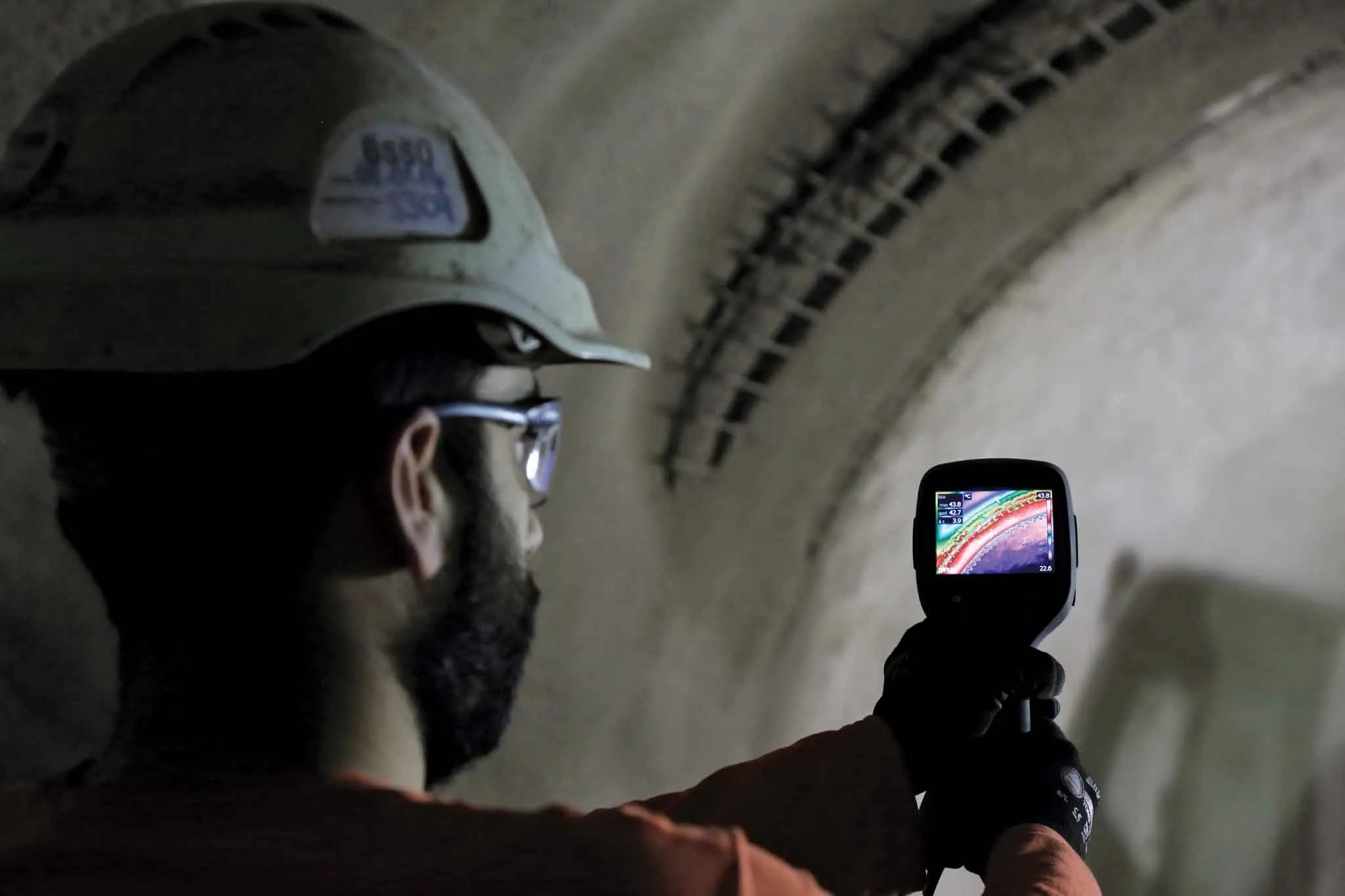
    Developments in data processing and management are revolutionising the way concrete strengths can be measured and used to improve efficiencies - Kristina Smith reports on two new technologies A new system that uses thermal imaging to measure the strength of sprayed concrete tunnel linings is being trialled for the first time in London. The brainchild of Dr Benoit Jones, managing director of Inbye Engineering, the technique could lead to improvements in safety, quality and – in the longer run – productivi
  • It's all about profit, people and the planet
    February 18, 2025
    Sit in on our latest roundtable discussion on sustainability in the construction and aggregates industries, brought to you by Global Highways and Aggregates Business. AB editor Guy Woodford has been talking to two world-class experts: Jeremy Harsin from Cummins and Michael Gomes from Topcon. Make your planning, your workflows, your contract tenders, and your sites as sustainable as possible. “Sustainability is really about profit, people and the planet,” say our experts. “Being able to drive that is the work that matters.”