Improved survey data handling

Leica Geosystems says that its Leica MobileMatriX v3.0 package can be used to synchronise survey data with an enterprise geodatabase, transfer digital images taken from a mobile phone via Bluetooth and link it with a feature, in addition to many other improvements. The firms says that its MobileMatriX v3.0 package offers a flexible and powerful mobile GIS application and can be used in both large projects and small projects involving only a few field crews. Survey data can be replicated within the editing p
August 2, 2012 Read time: 2 mins
265 Leica Geosystems says that its Leica MobileMatriX v3.0 package can be used to synchronise survey data with an enterprise geodatabase, transfer digital images taken from a mobile phone via Bluetooth and link it with a feature, in addition to many other improvements. The firms says that its MobileMatriX v3.0 package offers a flexible and powerful mobile GIS application and can be used in both large projects and small projects involving only a few field crews.

Survey data can be replicated within the editing process for customers using ArcGIS to manage spatial data. This allows users to extend their geospatial applications to their colleagues in the field, creating unprecedented data management capabilities. By implementing Leica MobileMatriX 3.0 survey data synchronization in the project workflow, a client can now connect to an enterprise database and modify or re-compute the survey measurements. This improves the workflow between field and office and can provide time and cost savings up to 50%. With Leica MobileMatriX 3.0, the subcontractor can provide a finished geodatabase to the client, without resorting to a conversion process and current analysis has shown a potential time/cost savings of up to and beyond 30-50%.

For more information on companies in this article

Related Content

  • Sophisticated slipformer control from Wirtgen
    August 10, 2018
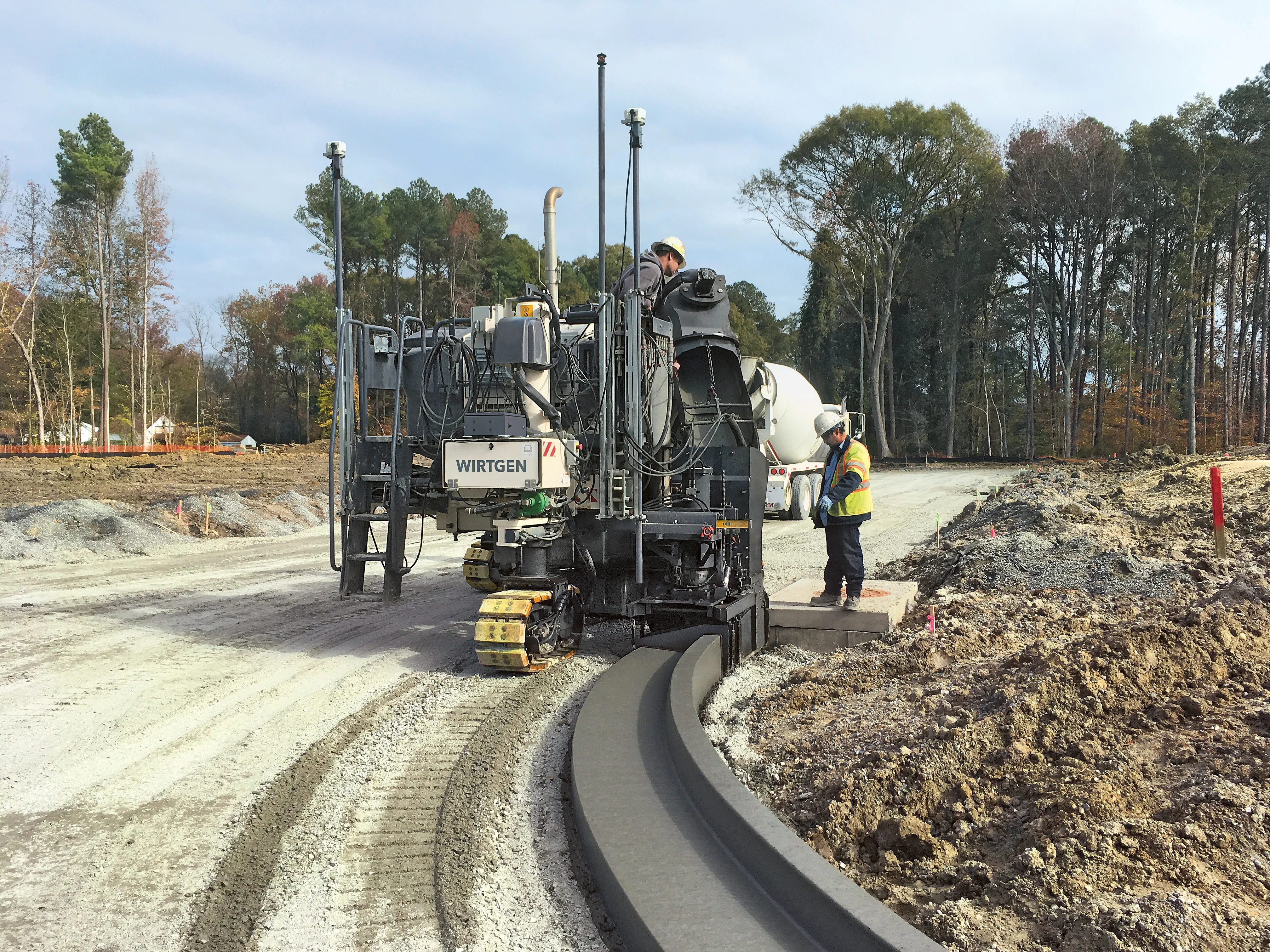
    Wirtgen is now offering a new version of its concrete slipformer control package. This new tool offers additional capabilities and improved performance over the earlier version. The company claims that its upgraded Wirtgen AutoPilot 2.0 package can deliver a higher paving accuracy along with lower costs. Newly-developed, this package is said to produce a wide array of offset and inset profiles, while also delivering these more economically and precisely than with the previous version. The 3D system can eit
  • Improved communications for construction from B2W
    October 2, 2023

    B2W Software has added extensive new alerts and notifications capabilities in the current release of its B2W Platform. The new features let contractors communicate automatically and in real time across the office, field and shop for further efficiency in resource scheduling, field performance tracking, and equipment maintenance workflows.

  • All change – the evolution of data
    October 13, 2017
    Bentley Systems believes that it is on the cusp of a revolutionary step in computing that will boost the working efficiency of companies right across industry. Bhupinder Singh, chief products officer at Bentley Systems explained that its key advance will allow firms to utilise what they already have, but more efficiently.
  • All change – the evolution of data
    January 24, 2018
    Embracing change; handling data as an evolutionary process, Mike Woof writes. Bentley Systems believes that it is on the cusp of a revolutionary step in computing that will boost the working efficiency of companies right across industry. Bhupinder Singh, chief products officer at Bentley Systems explained that its key advance will allow firms to utilise what they already have, but more efficiently. He said, “Companies are effectively analysing just 1% of their data. The rest is ‘dark data’ that is stored