Improved survey data handling

Leica Geosystems says that its Leica MobileMatriX v3.0 package can be used to synchronise survey data with an enterprise geodatabase, transfer digital images taken from a mobile phone via Bluetooth and link it with a feature, in addition to many other improvements. The firms says that its MobileMatriX v3.0 package offers a flexible and powerful mobile GIS application and can be used in both large projects and small projects involving only a few field crews. Survey data can be replicated within the editing p
August 2, 2012 Read time: 2 mins
265 Leica Geosystems says that its Leica MobileMatriX v3.0 package can be used to synchronise survey data with an enterprise geodatabase, transfer digital images taken from a mobile phone via Bluetooth and link it with a feature, in addition to many other improvements. The firms says that its MobileMatriX v3.0 package offers a flexible and powerful mobile GIS application and can be used in both large projects and small projects involving only a few field crews.

Survey data can be replicated within the editing process for customers using ArcGIS to manage spatial data. This allows users to extend their geospatial applications to their colleagues in the field, creating unprecedented data management capabilities. By implementing Leica MobileMatriX 3.0 survey data synchronization in the project workflow, a client can now connect to an enterprise database and modify or re-compute the survey measurements. This improves the workflow between field and office and can provide time and cost savings up to 50%. With Leica MobileMatriX 3.0, the subcontractor can provide a finished geodatabase to the client, without resorting to a conversion process and current analysis has shown a potential time/cost savings of up to and beyond 30-50%.

For more information on companies in this article

Related Content

  • In control, with advanced technology
    August 15, 2019
    Machine control technology continues to advance, with new systems offering contractors major gains in working efficiency The latest developments in machine control technology once again push the bar in terms of advancements. The latest systems allow contractors to work even more effectively and efficiently than before. Doosan has unveiled one of the first uses globally of 5G technology to remotely control construction and quarrying machines. The firm has coined the term ‘TeleOperation’ to describe the
  • Efficient stockpile and site monitoring
    October 23, 2017
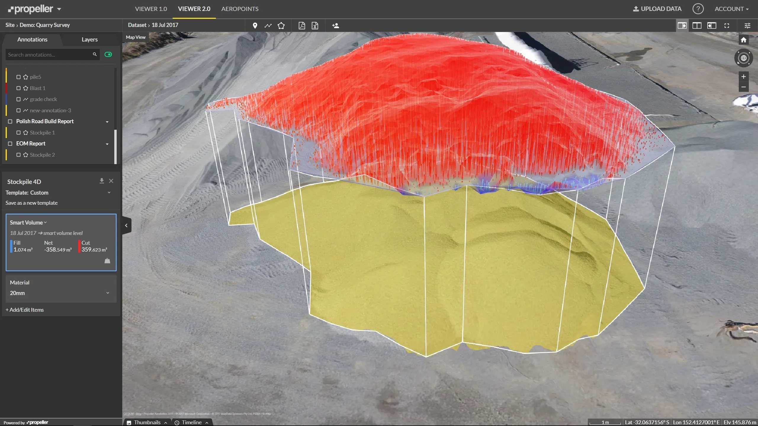
    Effective monitoring of aggregates stockpiles as well as face excavation can deliver greater quarrying efficiency. One of the latest innovations in quarrying is the use of drones, which provide major benefits for optimising operations. The use of affordable drone hardware and software solutions can help reduce stockpile inventory time by as much as 70%. Through the recent partnership between Trimble and Propeller, drone data can now be an everyday tool in quarries by proving a transformational impact
  • AssetWise Completes Bentley’s CONNECT Edition
    November 15, 2016
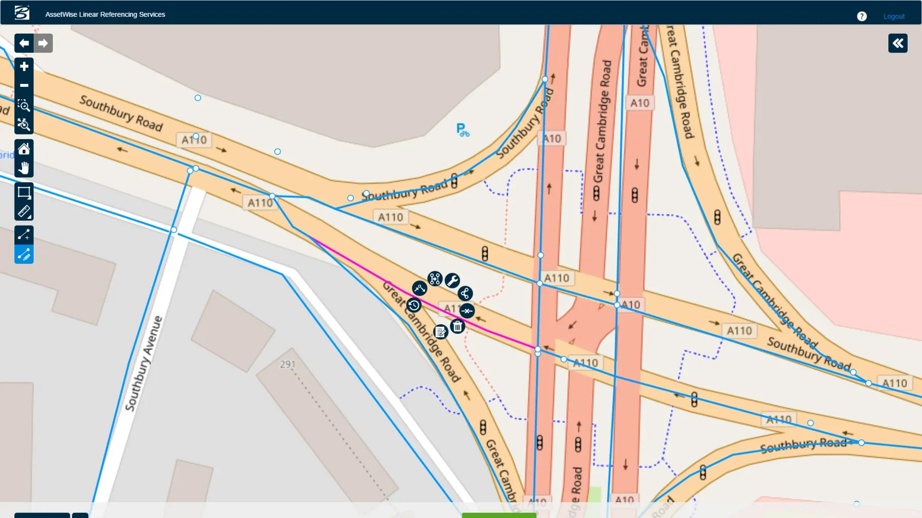
    Connected Data Environment Spans both Comprehensive Project Delivery and Comprehensive Asset Performance: TOTEX! LONDON – The Year in Infrastructure 2016 Conference – 1 November 2016 – Bentley Systems, Incorporated, a leading global provider of software solutions for advancing infrastructure, today announced AssetWise CONNECT Edition.
  • Workszone design and planning software
    March 6, 2012
    Managing utility works effectively is important, given that digging up roads and then patching them can dramatically cut the life of a road surface. New software tools make this process easier to manage effectively and Bentley Systems is extending its Expert Designer V8i package to include water, gas, and communications infrastructure, in addition to electric utilities. This allows utility firms and engineering contractors using Expert Designer V8i to boost the efficiency of utility network design projects.