Improved construction software from Topcon

Topcon Positioning is introducing the latest version of its software package for construction and survey professionals: MAGNET 7.
June 22, 2021 Read time: 2 mins
Topcon is now offering its latest MAGNET 7 software package

The firm says that this package benefits from cloud-based connectivity for streamlining workflows through GNSS receivers, total stations, and other positioning tools and instruments. The company says that the new version of the software addresses needs to increase productivity, efficiency, and profitability levels across the jobsite spectrum. The software also improves accuracy while managing data and collaboration with the project team in real time.

Topcon says that the package comprises field software, cloud services, integrated office software and third-party integrations. Upgrades in the field version of the software improve 3D model support, reporting, and interactivity in working directly on a visual map. Additionally, there are improvements in data handling for large and complex 3D projects.

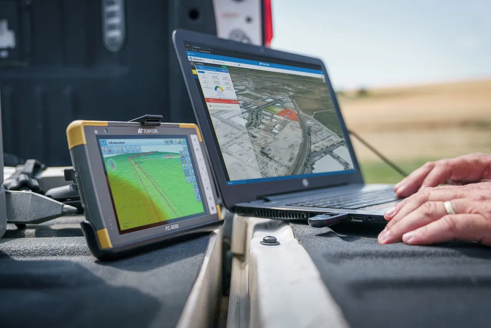
Productivity-driven features within the upgraded office solution include an ability to connect to the newest version of the Sitelink3D jobsite monitoring and management system. This enables office personnel to send machine models to machines onsite via the web portal. The new connection also allows access to the Haul Truck app, which improves efficiency in the mass haul environment by sending real-time data directly to the master schedule.

Additional benefits in the office include a new capability for calculating International Roughness Index (IRI) for resurfacing projects. For added efficiency, IRI data exports directly to ProVAL formats, commonly used in the paving industry, to report and validate road surface smoothness against guidelines set by government transportation departments. The package has improved terrain modeling capabilities for surveyors and an increase in file-type capabilities.

For more information on companies in this article

Related Content

  • Topcon offers compact digital imaging solution
    February 2, 2015
    Topcon claims that its new IP-S3 system offers a compact and lightweight 3D imaging solution. This high density system is said to be five times faster than previous generation tools, while weighing in at just 18kg. Scanning at 700,000 points/second, the system is said to offer data-rich results with its 30MP panoramic imagery and offers a mobile mapping powerhouse, according to the firm. The company says that this high-density and high-resolution camera comes in a unit that is much smaller than its predeces
  • Topcon offers compact digital imaging solution
    January 6, 2017
    Topcon claims that its new IP-S3 system offers a compact and lightweight 3D imaging solution. This high density system is said to be five times faster than previous generation tools, while weighing in at just 18kg. Scanning at 700,000 points/second, the system is said to offer data-rich results with its 30MP panoramic imagery and offers a mobile mapping powerhouse, according to the firm. The company says that this high-density and high-resolution camera comes in a unit that is much smaller than its predeces
  • Digital solutions for accurate road construction
    November 19, 2021
    Construction firms are now delivering roads that are more durable and feature better surface quality due to the use of digital measurement solutions. These technologies help to transfer target values into precise actual values on the ground
  • Improving excavator efficiency with Trimble
    December 11, 2018
    A new development from Trimble is the integration of its LOADRITE load weighing system for excavators using the Earthworks Grade Control package. According to the firm, this will allow customers to boost productivity and efficiency for excavation work. Contractors will be able to track the load carried in each bucket and monitor mass haul progress. This can provide an accurate picture, real-time picture of earthworks progress using the Trimble Earthworks monitor fitted in the machine. This data will also be