Highway condition monitoring move

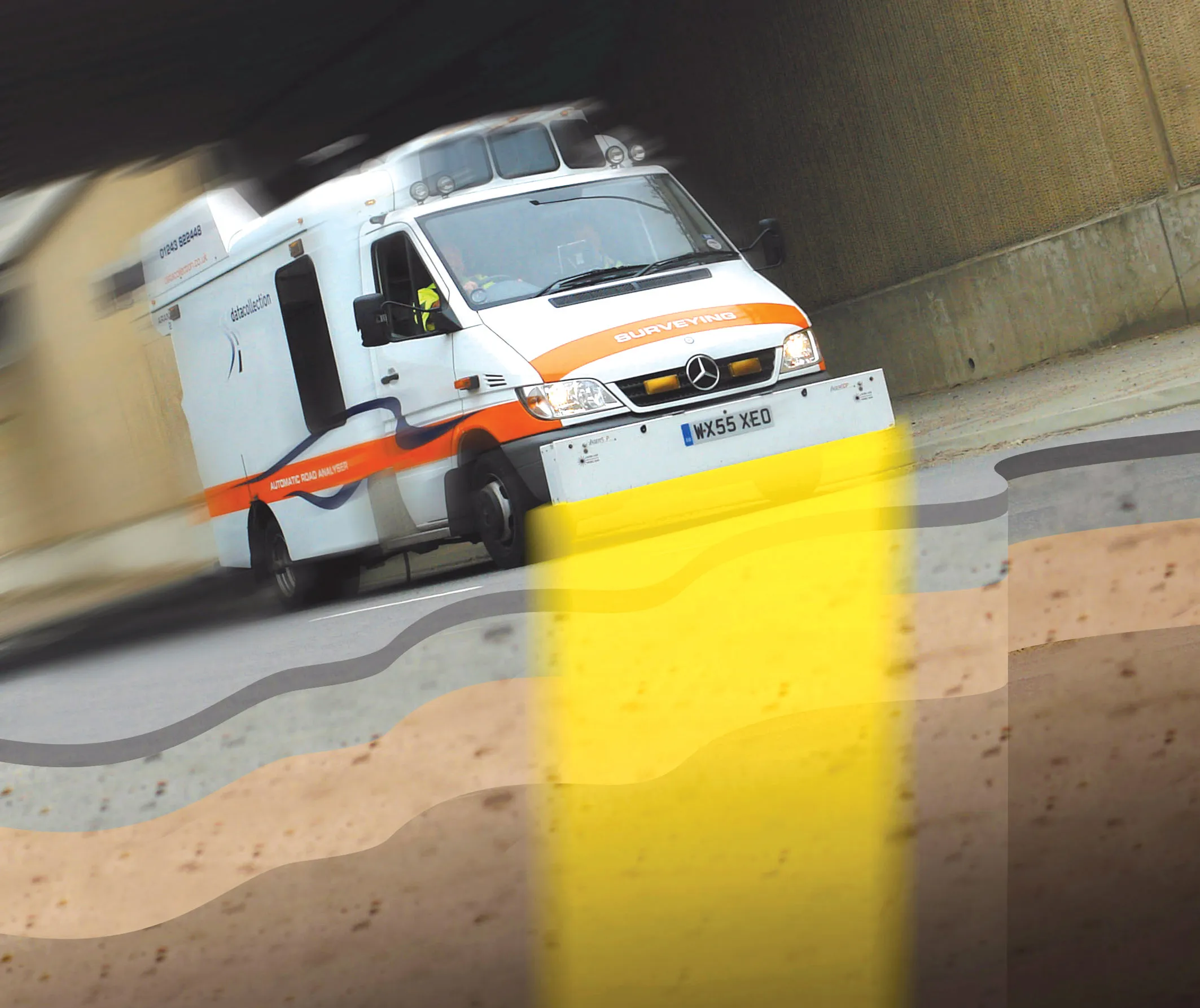
Geospatial surveying specialist Yotta DCL now has a contract with Southampton City Council for road surface condition monitoring and is using its advanced laser technology. Yotta DCL is surveying 300km of the city's roads using its sophisticated ARAN survey vehicle which uses innovative laser scanning and precision GPS systems. These surveys are operating as part of a UK Government-specified programme called Surface Condition Assessment for the National Network of Roads (SCANNER). This will provide the city
August 2, 2012 Read time: 2 mins
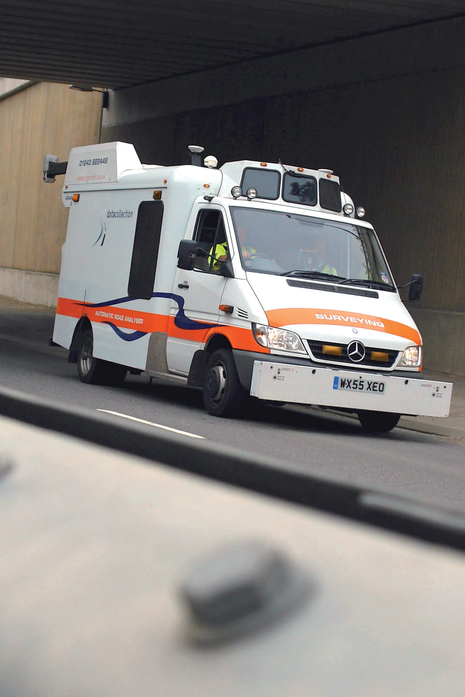
Yotta's sophisticated, Canadian-developed pavement monitoring technology can identify road repair needs quickly
Geospatial surveying specialist 5153 Yotta DCL now has a contract with 3548 Southampton City Council for road surface condition monitoring and is using its advanced laser technology. Yotta DCL is surveying 300km of the city's roads using its sophisticated ARAN survey vehicle which uses innovative laser scanning and precision GPS systems. These surveys are operating as part of a UK Government-specified programme called Surface Condition Assessment for the National Network of Roads (SCANNER). This will provide the city with accurate data that will allow the highway team to plan maintenance programmes and budgets more effectively. The highly specialised ARAN vehicle is an Anglo-Canadian development equipped with an advanced surface laser scanner that captures surface data with its precise location identified by a military-grade satellite positioning system. The accurate location information allows the survey data to be matched with other highways data such as records from on-foot highways defects surveys. Data captured by the ARAN vehicle shows defects such as wheelpath rutting, edge deterioration and cracks as well as the road geometry and longitudinal profile.

For more information on companies in this article

Related Content

  • Underground sight
    September 3, 2012
    Innovative mobile radar technology that can detect subsurface problems is now being launched by surveying specialist Data Collection Limited. The system uses a specially designed vehicle to carry out surveys at normal traffic speeds. Ground-penetrating radar is used to generate a cross-sectional profile of the subsurface. This information can be used to assess road condition, helping with planning repairs and re-surfacing.
  • Using radar to deliver a fine runway finish
    April 4, 2014
    Radar Portal Systems (RPS) has spent a lot of time developing its sophisticated pavement top-surface photometric imaging system so it can cater specifically for the aviation market. This has now been specially developed for use on aircraft runways and taxiways The system was recently used at Brisbane Airport to survey runway and runway shoulders, collecting photometric top-surface data at a 4m width at speeds of up to 100km/h. This dataset allows the firm to display meshing data of the runway surface showin
  • LiDAR surveying is making inroads into asset management
    December 18, 2017
    In the coming age of the autonomous vehicle, fast and accurate LiDAR surveying will be increasingly important, explains Valdis Vanags. The game-changing introduction of autonomous vehicles relies not only on intelligent traffic systems but well maintained roads to help computer-guided systems navigate using road markings. Laser scanning technology, too, is a game changer when it comes to planning and executing many civil engineering projects, including transport network upgrades and smart city initiatives.
  • Using technology so assess road surface quality
    April 4, 2014
    Advances in survey technology and the evolving face of road procurement are driving demand for highway condition data. Mark Thomas, infrastructure services manager at Fugro Aperio writes how surveys of new roads can improve long-term quality While a growing suite of non-intrusive testing, measurement and survey technologies are widely used to target highway repairs and to determine asset management strategies, the use of these powerful tools remains patchy in the early stages of the infrastructure life cycl