Fast field data collection

Trimble's sophisticated TSC3 controller is designed to allow surveyors and geospatial professionals to collect, share and deliver data. This unit is said to improve accuracy, efficiency and productivity between the field and office and is designed to be used with the Trimble Access software. The TSC3 controller offers fast and reliable data collection, computing and connectivity capabilities and provides multiple functions in a single handheld device. The unit incorporates a digital camera, integrated commu
February 10, 2012 Read time: 2 mins
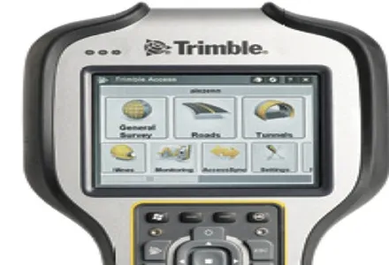
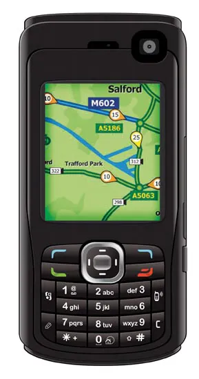
2122 Trimble's sophisticated TSC3 controller is designed to allow surveyors and geospatial professionals to collect, share and deliver data. This unit is said to improve accuracy, efficiency and productivity between the field and office and is designed to be used with the Trimble Access software. The TSC3 controller offers fast and reliable data collection, computing and connectivity capabilities and provides multiple functions in a single handheld device. The unit incorporates a digital camera, integrated communications as well as a GPS navigator, compass and accelerometer.

Using this device, surveyors can include on-site photos in surveys, communicate efficiently between field and office and streamline stakeout activities. The durable Trimble TSC3 controller has a high-resolution, sunlight-readable touchscreen display, integrated Wi-Fi and Bluetooth wireless capabilities and long battery life. Users can also choose either a QWERTY or ABC alphanumeric keyboard.

Delivered with Trimble Access software installed as well as the capability to run third-party applications on the Windows platform, the TSC3 is a comprehensive data collection solution for the survey industry. The Trimble TSC3 controller has wireless Internet connectivity through either the integrated GSM/GPRS modem or Wi-Fi. Data collection, processing, analysis, and delivery duties are said to be faster and more efficient.

For more information on companies in this article

Related Content

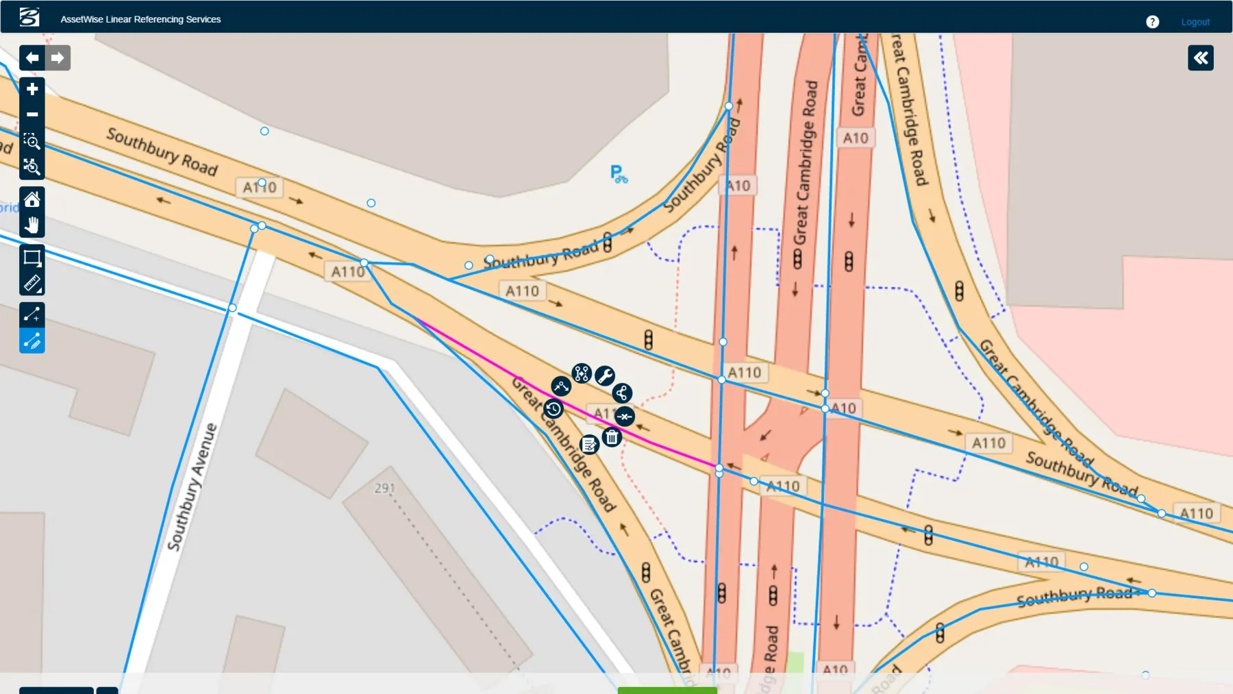
  • AssetWise Completes Bentley’s CONNECT Edition
    November 15, 2016
    Connected Data Environment Spans both Comprehensive Project Delivery and Comprehensive Asset Performance: TOTEX! LONDON – The Year in Infrastructure 2016 Conference – 1 November 2016 – Bentley Systems, Incorporated, a leading global provider of software solutions for advancing infrastructure, today announced AssetWise CONNECT Edition.
  • Topcon releases SurveyMaster Lite
    February 13, 2012
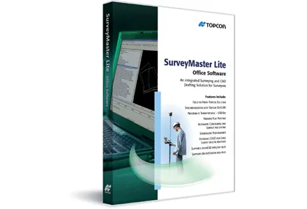
    Topcon Europe Positioning has released SurveyMaster Lite, a new CAD-based desktop application for surveying and job site information editing and plotting. Mark Contino, TPS (Topcon Positioning Systems, Livermore, USA) vice president of product marketing, said: "SurveyMaster Lite is a cost-efficient surveying office software package perfect for the cadastral surveying and construction stakeout professional."
  • Efficient stockpile and site monitoring
    October 23, 2017
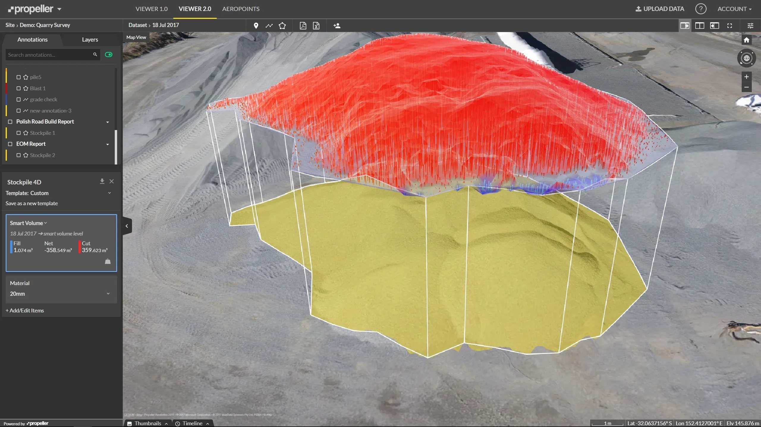
    Effective monitoring of aggregates stockpiles as well as face excavation can deliver greater quarrying efficiency. One of the latest innovations in quarrying is the use of drones, which provide major benefits for optimising operations. The use of affordable drone hardware and software solutions can help reduce stockpile inventory time by as much as 70%. Through the recent partnership between Trimble and Propeller, drone data can now be an everyday tool in quarries by proving a transformational impact
  • Traffic management software tools
    March 5, 2012
    A joint development project between Delcan Corporation and Intelligent Devices Incorporated (IDI) has resulted in the sophisticated Intelligent NETworks product. This is an integrated product that combines the IDI Intelligent Control NTCIP system with the Delcan advanced transportation applications of NETworks. The system can be linked to dynamic message signs (DMS), CCTV and vehicle detector stations (VDS), traffic intersections, as well as environment road weather sensor stations.