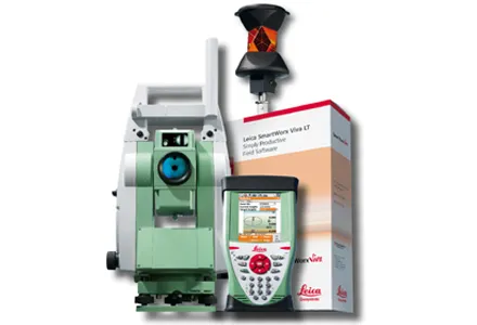
According to Leica Geosystems, its new HDS6100 unit is an improved, ultra-high speed laser scanner for survey applications. The Leica HDS6100 features several upgrades over the earlier HDS6000 scanner being replaced. These include a 37% increase in the temperature range (now -10ºC to +45ºC), a battery life of 2.5 hours, an integrated wireless LAN (WLAN) scanner control option and reduced noise at ranges of 25-50m.
According to 265 Leica Geosystems, its new HDS6100 unit is an improved, ultra-high speed laser scanner for survey applications.
The Leica HDS6100 features several upgrades over the earlier HDS6000 scanner being replaced. These include a 37% increase in the temperature range (now -10ºC to +45ºC), a battery life of 2.5 hours, an integrated wireless LAN (WLAN) scanner control option and reduced noise at ranges of 25-50m.
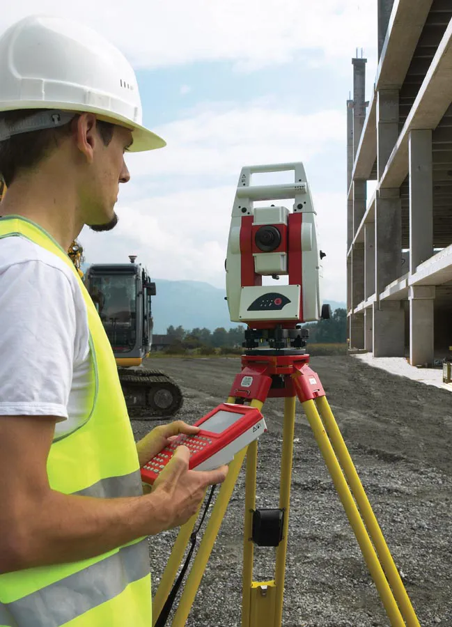
The high scan speed and 360º x 310º design allows fast and high deficition surveying in a wider range of applications and locations. The new scanners from Leica Geosystems offer safety, accuracy and productivity advantages for as-built or topographic surveys and can be used in an array of applications.
An important features is that owners of the earlier Leica HDS6000 scanners can upgrade their units to HDS6100 specification with a factory service or from authorised dealers.
The Leica HDS6100 features several upgrades over the earlier HDS6000 scanner being replaced. These include a 37% increase in the temperature range (now -10ºC to +45ºC), a battery life of 2.5 hours, an integrated wireless LAN (WLAN) scanner control option and reduced noise at ranges of 25-50m.
The high scan speed and 360º x 310º design allows fast and high deficition surveying in a wider range of applications and locations. The new scanners from Leica Geosystems offer safety, accuracy and productivity advantages for as-built or topographic surveys and can be used in an array of applications.
An important features is that owners of the earlier Leica HDS6000 scanners can upgrade their units to HDS6100 specification with a factory service or from authorised dealers.