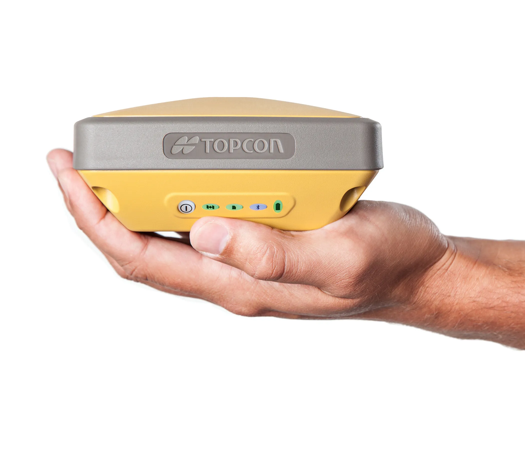
Sokkia is introducing the versatile GRX1 system, which includes a fully scalable GNSS receiver, new SHC250 data collector and improved software. The GRX1 GNSS receiver features an integrated antenna, digital UHF radio, GSM module, Bluetooth module and detachable battery. This comes in a compact, rugged, magnesium-alloy body and has fully upgradeable features that allow users to start with an entry model for L1 GPS. This can be upgraded to L1 GPS+GLONASS, to L1/L2 GPS, up to 72-channel L1/L2 GPS+GLONASS rece

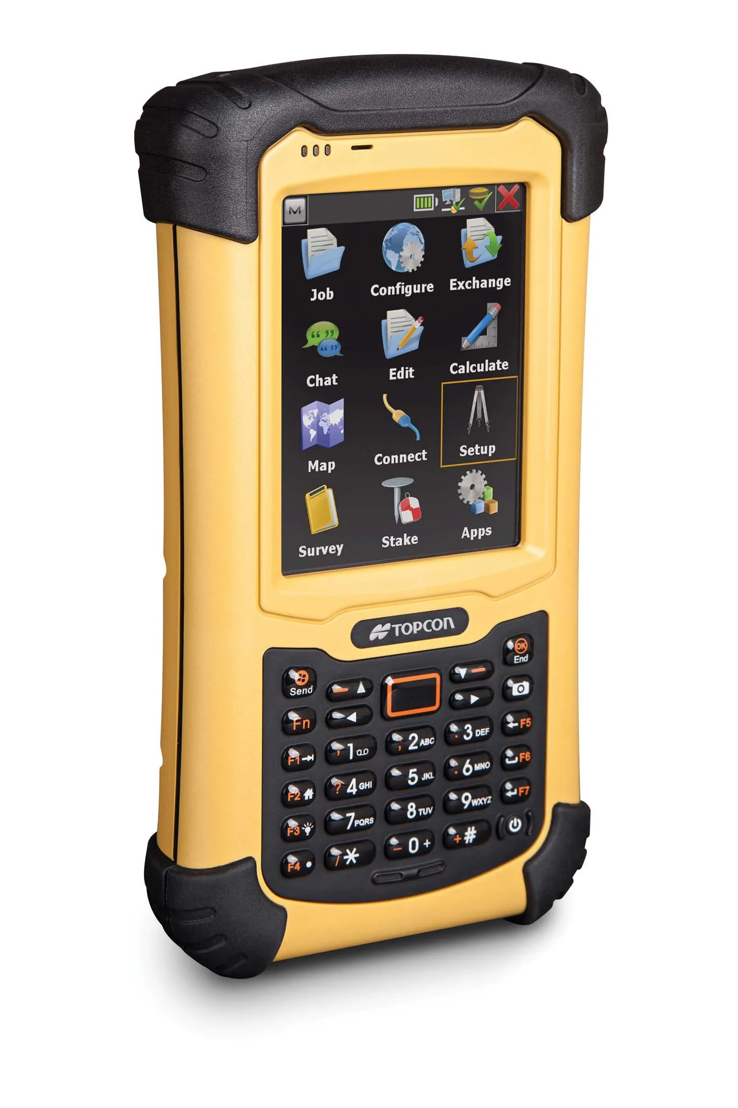
The SHC250 data collector runs the latest Windows Mobile 6.5 OS, built-in Bluetooth modem along with the new Spectrum Survey Field software. According to Sokkia, the new GNSS system provides versatility and usability in RTK, network RTK and static applications that require millimetre or centimetre positioning accuracy. Features include fully upgradeable, dual-frequency, 72-channel GPS+GLONASS receiver, as well as triple wireless technologies with digital UHF radio (Rx/Tx), GSM/GPRS modem and Bluetooth module available as integrated options. This allows an array of data communication choices for RTK correction, both at a base station and at a rover. Voice messages can notify users when RTK is fixed or lost, along with other notifications. The package also offers advanced data storage capability via SD and SDHC memory cards, as well as an 806MHz XScale processor, 256MB SDRAM/1GB Flash memory and VGA touch-screen display.