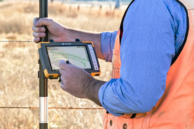
Advanced GNSS capabilities from Topcon

Topcon claims that its HiPer VR GNSS receiver is compact, light and benefits from advanced GNSS technology. The firm says that the rugged design is built to withstand harsh construction environments. Using Topcon’s sophisticated GNSS chipset with Universal Tracking Channels technology, the HiPer VR tracks every satellite signal. The compact, rugged design also features an integrated IMU and eCompass. The HiPer VR can be used for static or kinematic GNSS post-processed surveys: as a network RTK rover with
May 15, 2019 Read time: 2 mins
Topcon claims that its HiPer VR GNSS receiver is compact, light and benefits from advanced GNSS technology. The firm says that the rugged design is built to withstand harsh construction environments.


Using 342 Topcon’s sophisticated GNSS chipset with Universal Tracking Channels technology, the HiPer VR tracks every satellite signal. The compact, rugged design also features an integrated IMU and eCompass.

The HiPer VR can be used for static or kinematic GNSS post-processed surveys: as a network RTK rover with the FC-5000's internal 4G/LTE cellular modem; as a UHF/Longlink jobsite RTK rover; and also in Topcon’s patented Hybrid Positioning solution.

Key features include universal tracking technology for all satellites and constellations (GPS, GLONASS, Galileo, Beidou, IRNSS, QZSS, SBAS) covering all modernised signals, as well as a compact form factor ideal for Millimeter GPS and Hybrid Positioning. They also include a novel 9-axis IMU and ultra-compact 3-axis eCompass, as well as an integrated 400 MHz UHF Tx/Rx Radio Modem and an ultra-compact 3-axis eCompass that compensates for mis-levelled field measurements out of plumb up to 15°.

For more information on companies in this article

Related Content

  • Efficient surveying
    February 10, 2012
    According to Spectra Precision, its latest outdoor data collectors can optimise surveying operations. The sophisticated Ranger 3 data collector series and the Nomad 900 series are designed to operate with Spectra Precision Survey Pro field software and offer advanced surveying capabilities. Spectra Precision now offers three Ranger 3 models, the 3L, 3XC and 3RC. These data collectors come standard with an 800MHz processor, 256MB of memory, a full VGA display, integrated Bluetooth, GPS, compass and 802.11 Wi
  • Topcon’s advanced software for construction
    December 12, 2018
    Topcon Positioning is introducing the latest version of its MAGNET 5 software. This new version includes upgrades to the MAGNET Field, Office and Enterprise applications designed for advanced performance, third-party integration, and construction planning and oversight capability. The package offers new flexible display options and additional customisable data labels. Additionally, operators can view GNSS status when the controller is connected to a total station in Hybrid mode, and show offsets as a visua
  • Smart constructioon with GIS, GPS design technology
    May 2, 2012
    A UK highway project has benefited from the latest software, GIS and GPS technology, Mike Woof reports. Sophisticated software, GIS and GPS technology has played an important role in a large highway upgrade project in the UK and helping to increase efficiency and drive down construction costs.
  • Topcon sets up ‘next generation’ concrete paving system
    March 10, 2017
    A key announcement from Topcon Positioning Group’s press conference at CONEXPO-CON/AGG was the release of the next generation of automated concrete paving — the ZPS system — with the new Z-Robot and Z-Stack sensor. Using enhanced Topcon Millimeter GPS technology, the ZPS system is designed to bring unmatched accuracy to concrete paving with a fraction of the hardware required for traditional LPS (local positioning system).