Accurate positioning with Leica Geosystems

The new Zeno GG04 smart antenna from Leica Geosystems is said to increase access to GIS and boost tracking performance. This is said to deliver a versatile solution that can improve the accuracy of GNSS mobile devices with real-time Kinematic (RTK) and precise point positioning (PPP). Paired with the Zeno GG04, any Zeno or third party mobile device with Android or Windows OS can now collect precise positioning data with Leica Geosystems’ GNSS technology and 555-channel tracking performance. With PPP, users
June 19, 2017 Read time: 2 mins
The new smart antenna from Leica Geosystems offers increased tracking accuracy
The new Zeno GG04 smart antenna from Leica Geosystems is said to increase access to GIS and boost tracking performance.


This is said to deliver a versatile solution that can improve the accuracy of GNSS mobile devices with real-time Kinematic (RTK) and precise point positioning (PPP).

Paired with the Zeno GG04, any Zeno or third party mobile device with 1223 Android or Windows OS can now collect precise positioning data with 265 Leica Geosystems’ GNSS technology and 555-channel tracking performance. With PPP, users can collect data even in areas without cellular coverage. The bring-your-own-device (BYOD) functionality enables any smart device to collect survey-grade data, delivering centimetre results.

With the Zeno Connect app, any third-party app is compatible with the Zeno GG04 smart antenna. The Zeno Mobile, Zeno Connect or 212 Esri’s Collector for ArcGIS apps provide an easy and familiar platform for non-surveying professionals to collect and analyse data. Organisations can integrate and optimise data in real time from different sources to collect all details of any project from anywhere in the world.

For more information on companies in this article

Related Content

  • Advances in milling
    July 23, 2024
    Some major machine manufacturers have introduced improved milling equipment to the market - Mike Woof reports
  • Hamm | HX series – The new flagship
    February 1, 2025
    Pivot-steered tandem rollers: Sustainable, intelligent and digitally supported
  • Macleod Simmonds introduces GPR offering
    October 17, 2012
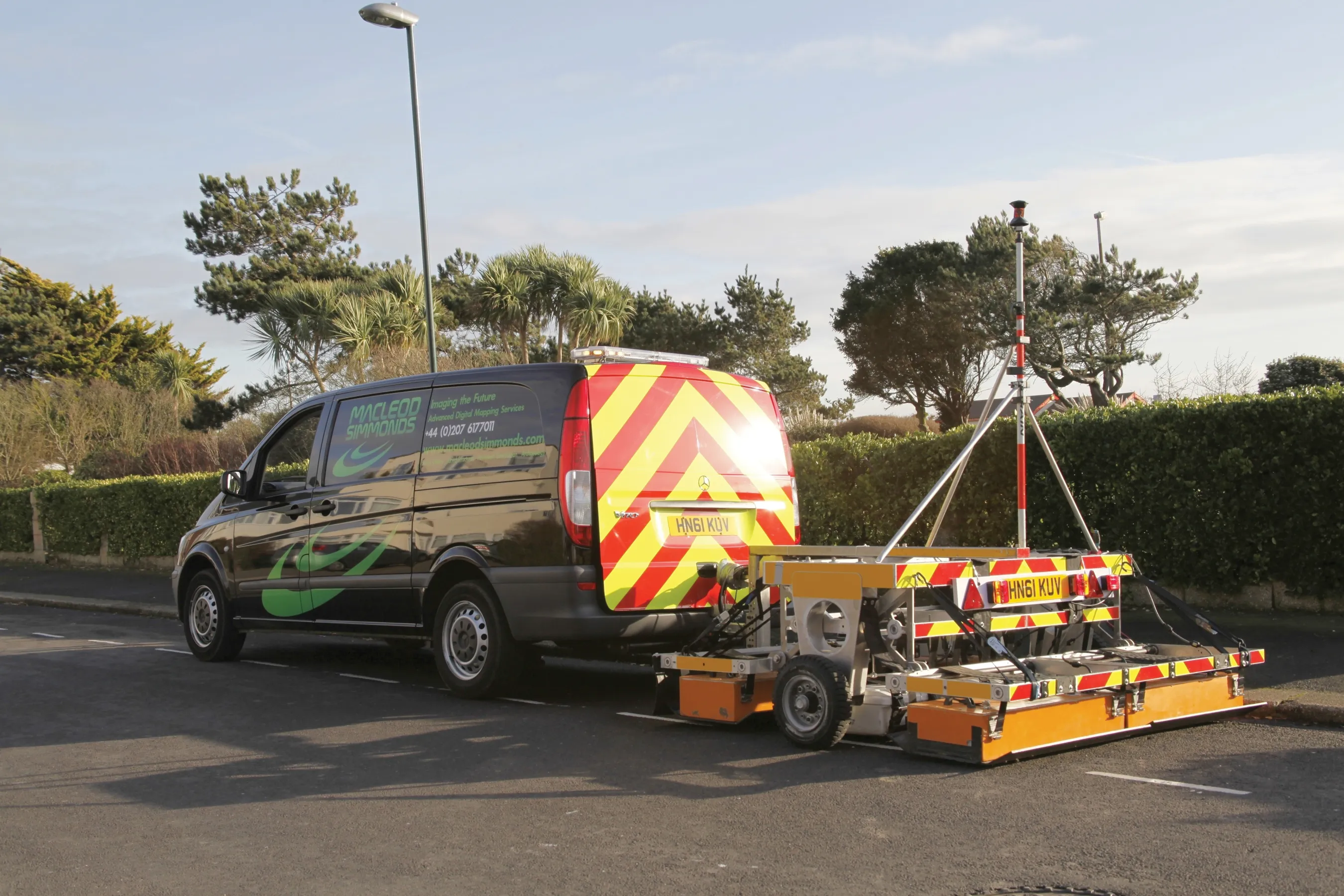
    UK-based Macleod Simmonds Ltd (MSL) has launched a GPR (Ground Probing Radar) consultancy providing both a survey service and software package which, the firm says, takes the output from multi-antenna surveys to a “whole new dimension”. The firm says it can now provide survey capability for almost any type of terrain, application or location that end users might require. For the existing roadway or smooth surface terrain survey location, MSL has a Carriageway System based on a multi-antenna set up from Ital
  • A flexible approach to concrete testing
    February 20, 2012
    One of the world's most versatile building materials is subject to a variety of tests to make sure it is fit for purpose. Patrick Smith reports