Accurate positioning with Leica Geosystems

The new Zeno GG04 smart antenna from Leica Geosystems is said to increase access to GIS and boost tracking performance. This is said to deliver a versatile solution that can improve the accuracy of GNSS mobile devices with real-time Kinematic (RTK) and precise point positioning (PPP). Paired with the Zeno GG04, any Zeno or third party mobile device with Android or Windows OS can now collect precise positioning data with Leica Geosystems’ GNSS technology and 555-channel tracking performance. With PPP, users
June 19, 2017 Read time: 2 mins
The new smart antenna from Leica Geosystems offers increased tracking accuracy
The new Zeno GG04 smart antenna from Leica Geosystems is said to increase access to GIS and boost tracking performance.


This is said to deliver a versatile solution that can improve the accuracy of GNSS mobile devices with real-time Kinematic (RTK) and precise point positioning (PPP).

Paired with the Zeno GG04, any Zeno or third party mobile device with 1223 Android or Windows OS can now collect precise positioning data with 265 Leica Geosystems’ GNSS technology and 555-channel tracking performance. With PPP, users can collect data even in areas without cellular coverage. The bring-your-own-device (BYOD) functionality enables any smart device to collect survey-grade data, delivering centimetre results.

With the Zeno Connect app, any third-party app is compatible with the Zeno GG04 smart antenna. The Zeno Mobile, Zeno Connect or 212 Esri’s Collector for ArcGIS apps provide an easy and familiar platform for non-surveying professionals to collect and analyse data. Organisations can integrate and optimise data in real time from different sources to collect all details of any project from anywhere in the world.

For more information on companies in this article

Related Content

  • Testing advanced compaction technology
    April 6, 2020
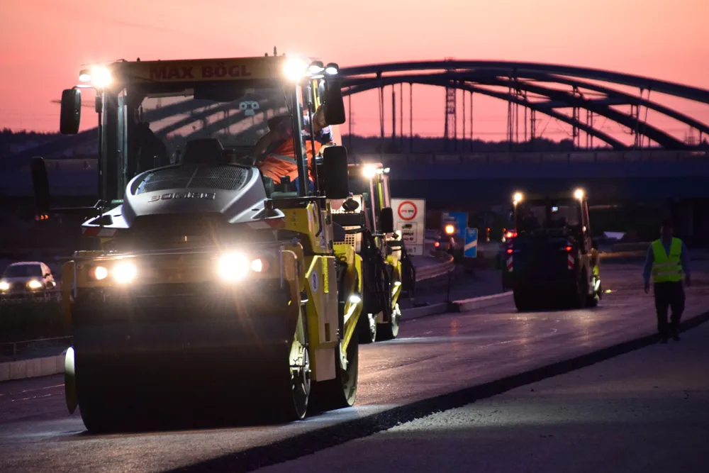
    Contractor Max Bögl and BOMAG have worked together on a major infrastructure project in Germany to carry out practical tests of the BW 174 Hybrid and BOMAP system.
  • Road recycling
    September 27, 2023
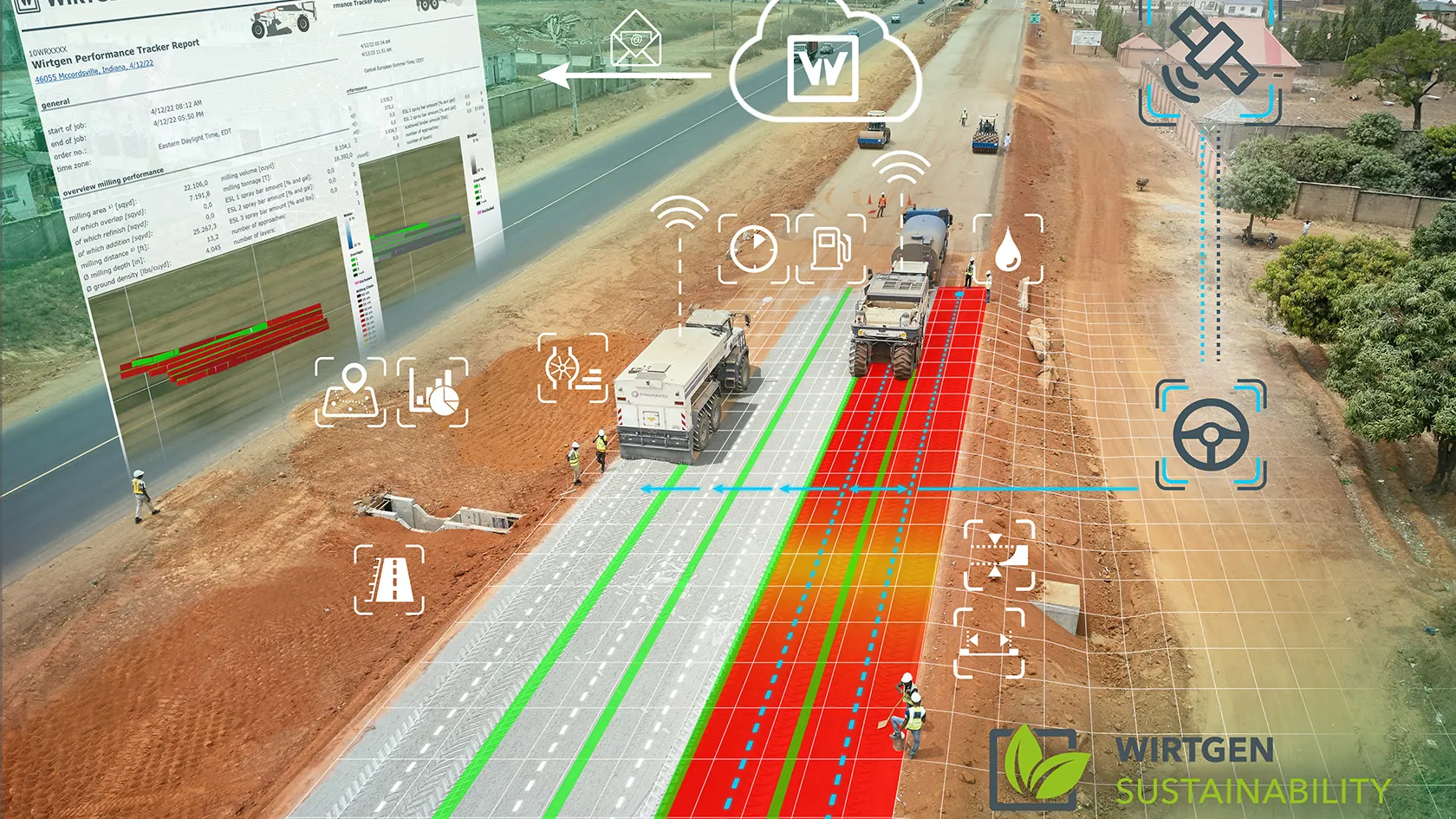
    Easier to operate, thanks to the increasing use of GPS, and greener to run because of biofuels are two of the more innovative technologies being integrated into machine design by major road recycling equipment manufacturers.
  • Pinpoint accuracy offered by Leica’s iCON MCH100 and Telematics
    April 14, 2016
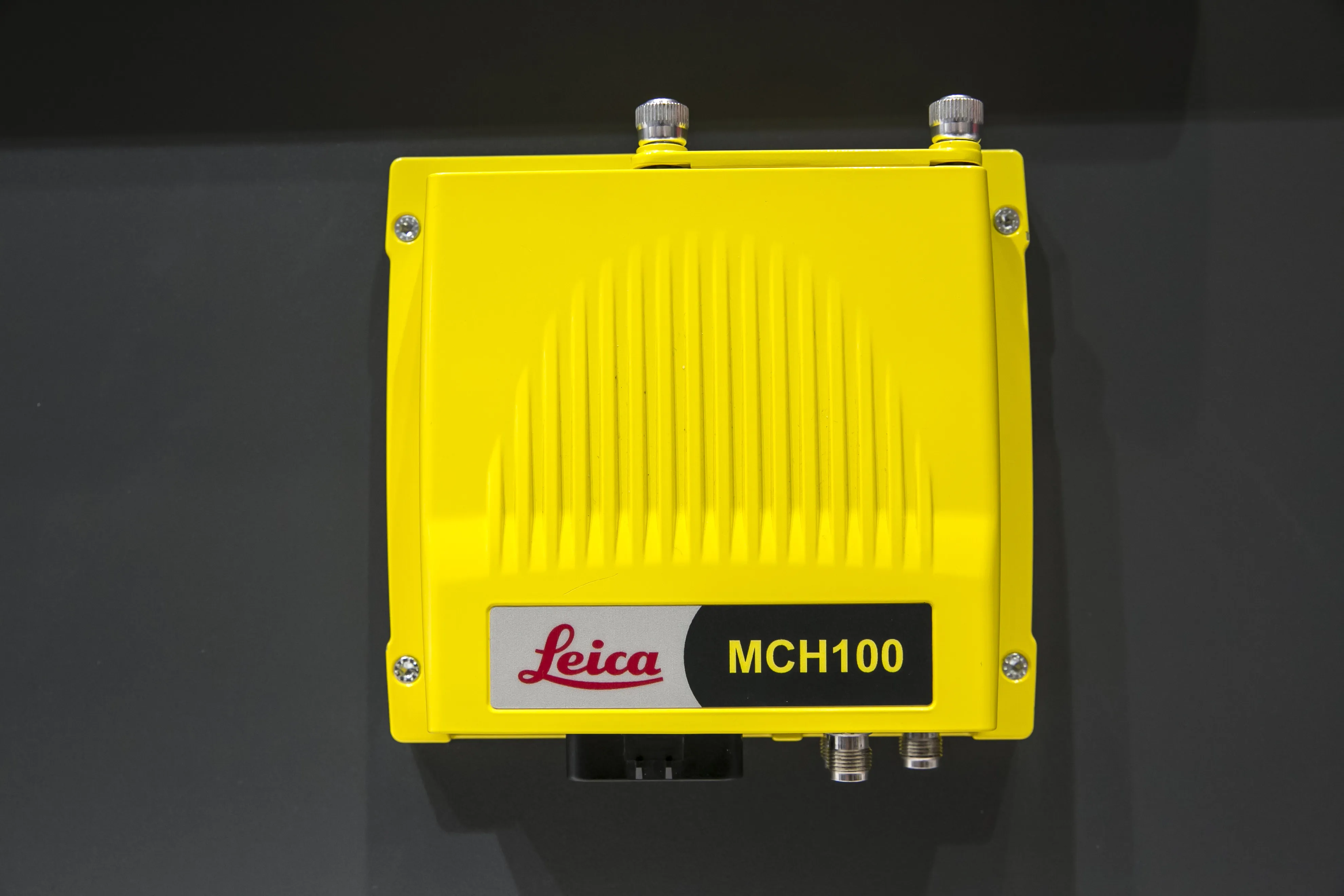
    Leica’s iCON MCH100 and Telematics machine monitoring systems make it possible to know what any type of earthmoving machine is doing anytime and anywhere in the quarry or construction site. The iCON MCH100 unit, which offers the real-time location of machinery, can be attached in a non-invasive fashion with no calibration needed. Importantly, it has wireless connectivity for any type of earthmoving equipment – and from any manufacturer - and can stand up to long hours of operation in rugged conditions.
  • Esri and Heliguy to cooperate
    February 15, 2021
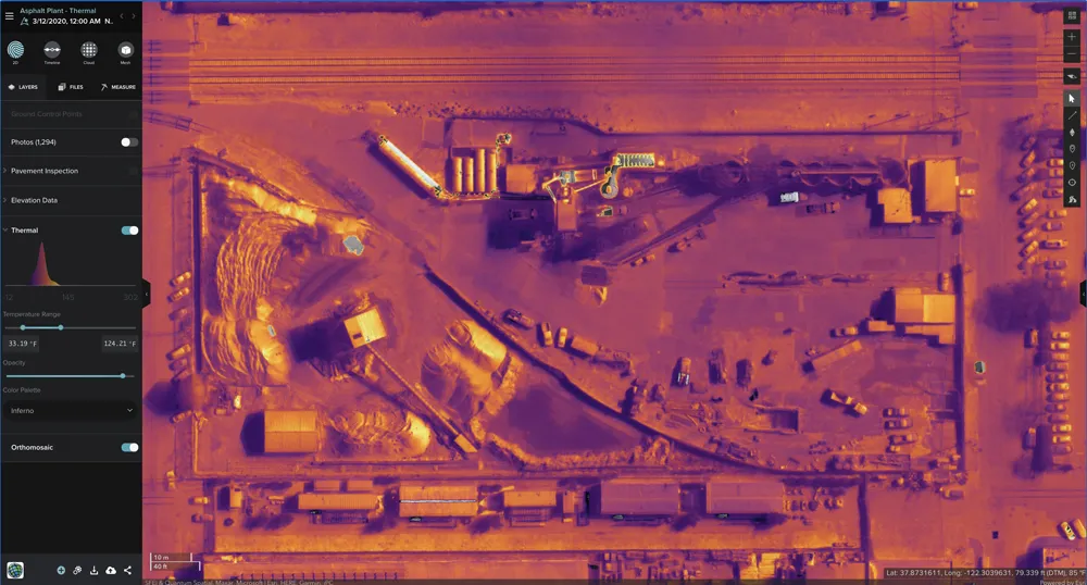
    Esri UK has signed a partnership with drone developer Heliguy as part of its strategy to offer all elements of a drone service.