Accurate positioning with Leica Geosystems

The new Zeno GG04 smart antenna from Leica Geosystems is said to increase access to GIS and boost tracking performance. This is said to deliver a versatile solution that can improve the accuracy of GNSS mobile devices with real-time Kinematic (RTK) and precise point positioning (PPP). Paired with the Zeno GG04, any Zeno or third party mobile device with Android or Windows OS can now collect precise positioning data with Leica Geosystems’ GNSS technology and 555-channel tracking performance. With PPP, users
June 19, 2017 Read time: 2 mins
The new smart antenna from Leica Geosystems offers increased tracking accuracy
The new Zeno GG04 smart antenna from Leica Geosystems is said to increase access to GIS and boost tracking performance.


This is said to deliver a versatile solution that can improve the accuracy of GNSS mobile devices with real-time Kinematic (RTK) and precise point positioning (PPP).

Paired with the Zeno GG04, any Zeno or third party mobile device with 1223 Android or Windows OS can now collect precise positioning data with 265 Leica Geosystems’ GNSS technology and 555-channel tracking performance. With PPP, users can collect data even in areas without cellular coverage. The bring-your-own-device (BYOD) functionality enables any smart device to collect survey-grade data, delivering centimetre results.

With the Zeno Connect app, any third-party app is compatible with the Zeno GG04 smart antenna. The Zeno Mobile, Zeno Connect or 212 Esri’s Collector for ArcGIS apps provide an easy and familiar platform for non-surveying professionals to collect and analyse data. Organisations can integrate and optimise data in real time from different sources to collect all details of any project from anywhere in the world.

For more information on companies in this article

Related Content

  • Yotta develops new tools for sophisticated GIS package
    April 25, 2013
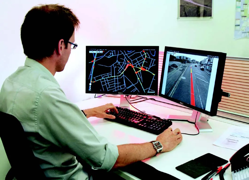
    Highway technology and services company Yotta DCL has announced new features for Horizons. The web-based platform integrates GIS, pavement and asset management for highways authorities and agencies to use in a visualised asset management system. The new version 2.3 adds features and functionality across three modules: Explorer, Analysis and Management. Explorer allows users to view, load and visualise a range of datasets, including base network data, their condition in fine detail, plus relevant asset or co
  • Topcon’s partnerships
    May 20, 2019
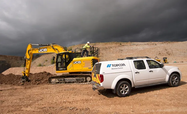
    Topcon has been striking key deals with manufacturers of earthmoving machines to supply machine control packages. The firm has set up arrangements with both JCB and Volvo CE for its sophisticated packages, which will help customers to optimise operations. JCB's new X-Series excavator is now being offered with a sophisticated machine guidance system from Topcon Positioning, which is said to boost productivity by up to 30%. A result of a collaboration between JCB and Topcon Positioning Group, the Topco
  • Hamm: Many new features in earthworks and asphalt construction
    February 22, 2023
    Innovative machine technology and digital solutions
  • Trimble’s technology advances for machine fleets
    January 26, 2018
    Trimble is gearing up to boost construction efficiency with a new level of machine technology – Mike Woof writes The introduction of the latest version of Trimble’s VisionLink package will help allow contractors to reduce operating costs while boosting working efficiency, according to the firm. Trimble’s VisionLink system was developed in partnership with Caterpillar and includes tools for production monitoring. This now offers customers greater capabilities, due in many respects to its increased versat