Accurate laser scanning with Leica Geosystems

A new handheld imaging laser scanner from Leica Geosystems is said to offer high efficiency for surveyors.
February 6, 2020 Read time: 1 min
Fast laser surveying is possible with the new tool from Leica Geosystems

The BLK2GO handheld imaging laser scanner is said to be the first-of-its-kind mobile scanner that can scan complex spaces efficiently and quickly due to its LiDAR, SLAM (simultaneous localisation and mapping) and edge computing technologies.

The laser scanner can capture 3D environments while the user is in motion, and generate 3D point clouds continuously. Compact in design, the unit allows access to spaces that may have been difficult or impossible to scan before.

Combining two-axis LiDAR with visual SLAM technologies, the BLK2GO will accurately follow a user’s trajectory while scanning. When used with the iOS app, users can get live feedback, check the device status, or do quick data inspection.

For more information on companies in this article

Related Content

  • Accurate, efficient drilling system
    April 13, 2012
    Moba’s MDS-2000 Drilling System is being used for the first time in a South American quarry. Used over two shifts by operators since September 2011 to monitor and control drill blast holes at a granite quarry in Vacamonte, Panama, Moba has equipped an HCR-1200 EDII type drilling device from FRD Furukawa Rock Drill with the drilling system in collaboration with B-B-S Bohrsysteme. The MDS-2000 enables drill holes to be made parallel to each other and to the desired depth and pre-set angle.
  • Accurate, efficient drilling system
    March 21, 2012
    Moba’s MDS-2000 Drilling System is being used for the first time in a South American quarry. Used over two shifts by operators since September 2011 to monitor and control drill blast holes at a granite quarry in Vacamonte, Panama, Moba has equipped an HCR-1200 EDII type drilling device from FRD Furukawa Rock Drill with the drilling system in collaboration with B-B-S Bohrsysteme. The MDS-2000 enables drill holes to be made parallel to each other and to the desired depth and pre-set angle. As well as cost an
  • Surveying software from Trimble
    June 15, 2021
    Trimble has introduced its Siteworks SE Starter Edition, an entry-level, easy-to-use construction surveying software.
  • Advanced machine control solutions
    February 15, 2012
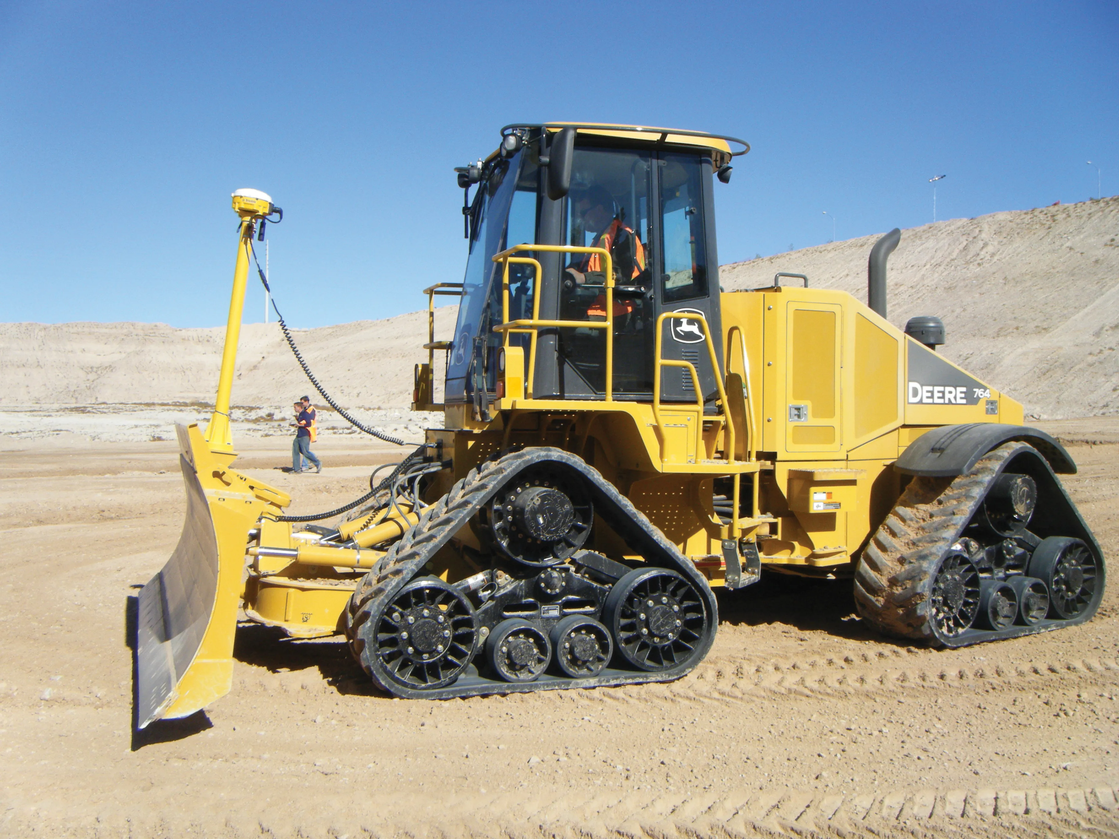
    Trimble has developed an array of smart solutions for GPS machine control applications, which can now be installed on a wide variety of machines from different manufacturers. The company has long had a close relationship with Caterpillar but can also install units on machines from a range of manufacturers including Case, John Deere, Komatsu, Liebherr, Roadtec and Volvo. The firm's range has developed beyond just the GPS hardware though and includes sophisticated software, which can be loaded onto a hand-hel