Accurate laser scanning with Leica Geosystems

A new handheld imaging laser scanner from Leica Geosystems is said to offer high efficiency for surveyors.
February 6, 2020 Read time: 1 min
Fast laser surveying is possible with the new tool from Leica Geosystems

The BLK2GO handheld imaging laser scanner is said to be the first-of-its-kind mobile scanner that can scan complex spaces efficiently and quickly due to its LiDAR, SLAM (simultaneous localisation and mapping) and edge computing technologies.

The laser scanner can capture 3D environments while the user is in motion, and generate 3D point clouds continuously. Compact in design, the unit allows access to spaces that may have been difficult or impossible to scan before.

Combining two-axis LiDAR with visual SLAM technologies, the BLK2GO will accurately follow a user’s trajectory while scanning. When used with the iOS app, users can get live feedback, check the device status, or do quick data inspection.

For more information on companies in this article

Related Content

  • Innovative control system for concrete pavers
    February 14, 2012
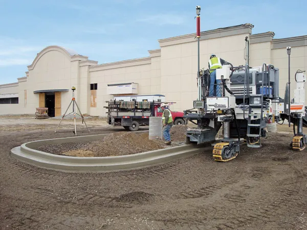
    Wirtgen has developed a novel control system for use on its concrete paving equipment. Matthias Fritz is the product engineer at Wirtgen tasked with developing the system. The new AutoControlpackage uses GPS technology to provide guidance for the machine's steering functions. Fritz added, "It has an augmentation centre for vertical control because it requires millimetre accuracy for height." This 3D control system is for use with the firm's SP15 and SP25 slipform pavers and is said to be a user-friendly, co
  • Highway condition monitoring move
    August 2, 2012
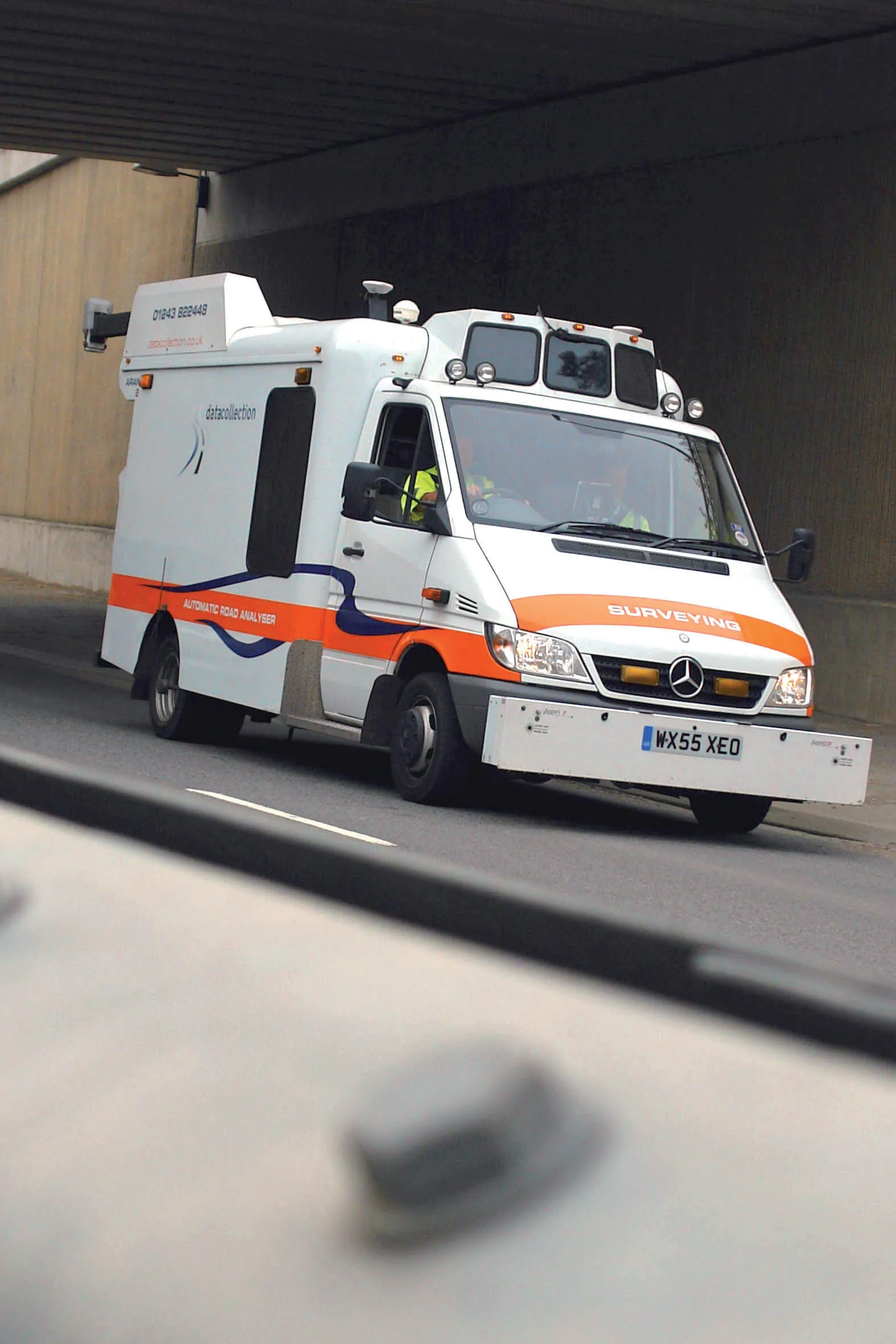
    Geospatial surveying specialist Yotta DCL now has a contract with Southampton City Council for road surface condition monitoring and is using its advanced laser technology. Yotta DCL is surveying 300km of the city's roads using its sophisticated ARAN survey vehicle which uses innovative laser scanning and precision GPS systems. These surveys are operating as part of a UK Government-specified programme called Surface Condition Assessment for the National Network of Roads (SCANNER). This will provide the city
  • Heat scanning system for asphalt paving work
    October 1, 2014
    A road construction project in Minnesota has benefited from improved quality control by using the new PAVE-IR heat scanning technology developed by German firm MOBA. Resurfacing work on Highway 29 near Alexandria, Minnesota called for around 50km of the road surface to be repaved. The contractor, Central Specialities, opted to optimise quality by employing the sophisticated PAVE-IR control package from MOBA. The system monitors mat temperature during paving, providing an accurate picture of work quality
  • Technology improving safety on Australian roads
    July 14, 2023
    New technology is improving safety on Australian roads.