Accurate laser scanning with Leica Geosystems

A new handheld imaging laser scanner from Leica Geosystems is said to offer high efficiency for surveyors.
February 6, 2020 Read time: 1 min
Fast laser surveying is possible with the new tool from Leica Geosystems

The BLK2GO handheld imaging laser scanner is said to be the first-of-its-kind mobile scanner that can scan complex spaces efficiently and quickly due to its LiDAR, SLAM (simultaneous localisation and mapping) and edge computing technologies.

The laser scanner can capture 3D environments while the user is in motion, and generate 3D point clouds continuously. Compact in design, the unit allows access to spaces that may have been difficult or impossible to scan before.

Combining two-axis LiDAR with visual SLAM technologies, the BLK2GO will accurately follow a user’s trajectory while scanning. When used with the iOS app, users can get live feedback, check the device status, or do quick data inspection.

For more information on companies in this article

Related Content

  • Machine control innovations
    February 15, 2012
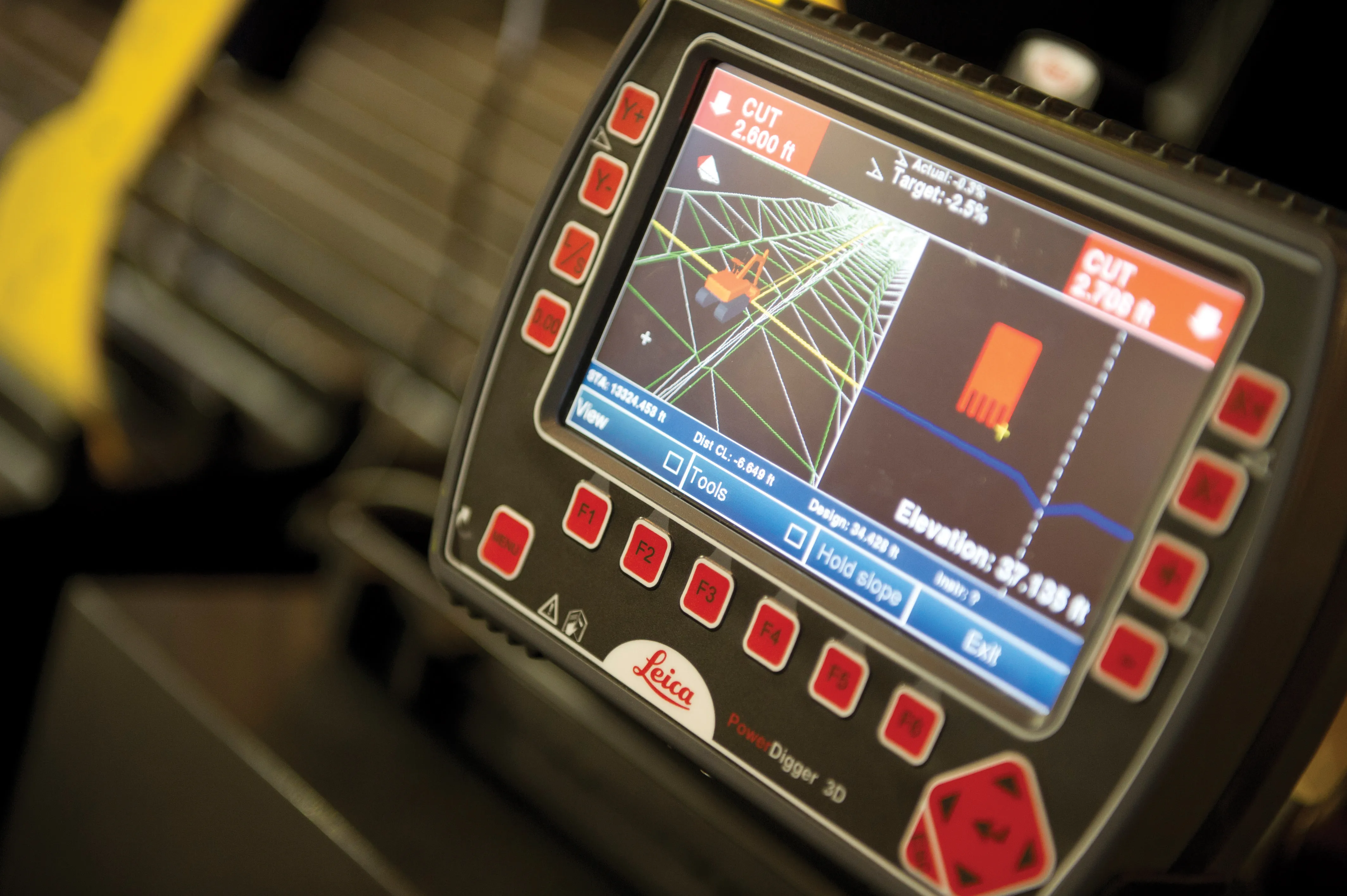
    THE RECENT CONEXPO-CON/AGG exhibition has seen the launch of a wealth of new machine control technologies - Mike Woof reports A fast pace of technological development in the machine control sector is seeing new innovations come to market at regular intervals. The developments remain focussed on the three main technology suppliers to this market, Leica Geosystems, Topcon and Trimble, offereng a combination of systems using machine control based on GPS, total station, sonic units and industrial inertial gu
  • XenomatiX boosts its road scanning solution
    September 29, 2023
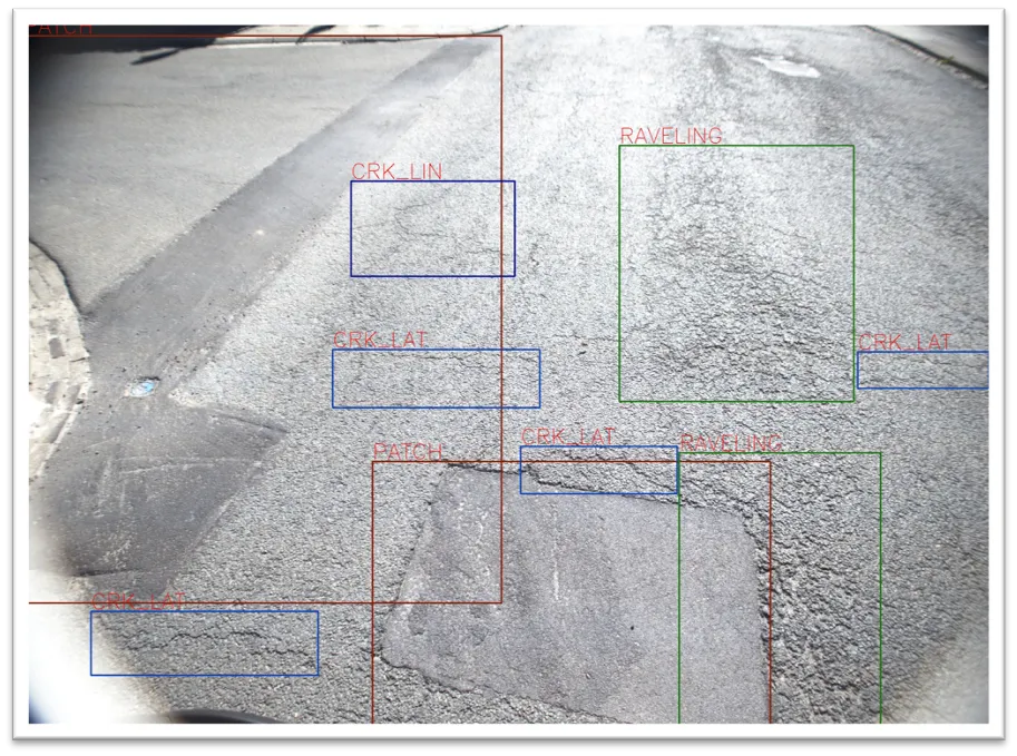
    An additional 14 types of road distress can be measured, including cracks, bleeding and raveling.
  • Laser sensors offer range of duties
    October 17, 2012
    Sick UK says its new LMS500 family of laser sensors achieves new levels of high-speed and consistent performance in adverse highway conditions. “The incontrovertible rule in laser measurement used to be – if you can’t see it, the laser can’t see it, but with the LMS500 this is no longer true,” said Tim Stokes, SICK UK laser sensor specialist. “These hard-working sensors ignore spray, smoke and dust and cope with rain, snow, ice and fog. They will operate reliably for applications such as vehicle spacing, sp
  • VIDEO: Telstra drone LIDAR maps Melbourne’s EastLink Mullum Tunnel
    April 13, 2018
    One of the applications for LIDAR is to make high resolution 3-D maps. Self-driving cars are pre-loaded with a LIDAR map of the trials area in which they are permitted to fully self-drive themselves. The cars also have their own LIDAR scanner which captures a real-time LIDAR view of the vehicle’s surroundings. The fully autonomous driving system within these prototype cars compares the real-time LIDAR view against the pre-loaded LIDAR map to significantly increase the accuracy of their self-positioning