Accurate laser scanning with Leica Geosystems

A new handheld imaging laser scanner from Leica Geosystems is said to offer high efficiency for surveyors.
February 6, 2020 Read time: 1 min
Fast laser surveying is possible with the new tool from Leica Geosystems

The BLK2GO handheld imaging laser scanner is said to be the first-of-its-kind mobile scanner that can scan complex spaces efficiently and quickly due to its LiDAR, SLAM (simultaneous localisation and mapping) and edge computing technologies.

The laser scanner can capture 3D environments while the user is in motion, and generate 3D point clouds continuously. Compact in design, the unit allows access to spaces that may have been difficult or impossible to scan before.

Combining two-axis LiDAR with visual SLAM technologies, the BLK2GO will accurately follow a user’s trajectory while scanning. When used with the iOS app, users can get live feedback, check the device status, or do quick data inspection.

For more information on companies in this article

Related Content

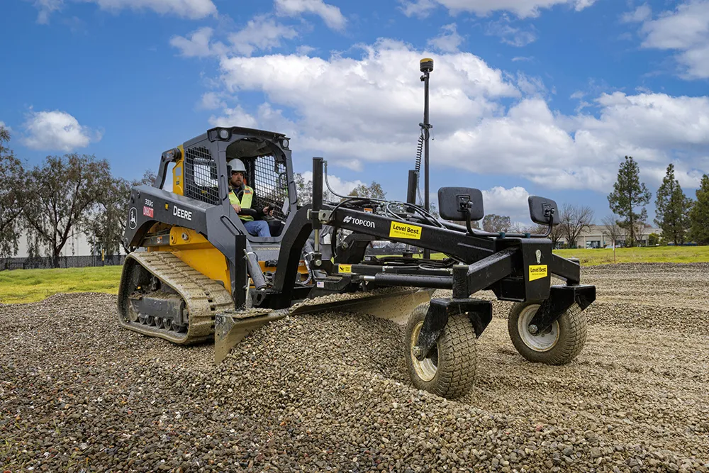
  • Reality check: Topcon’s Aptix
    July 20, 2023
    The biggest challenge facing construction professionals and general contractors is disconnected data and/or siloed data sources. The recently launched Aptix integration platform has broken down these silos, explains Topcon’s Scott Langbein.
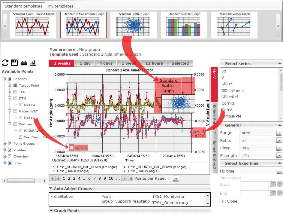
  • Leica Geosystems introduces smart monitoring of structures
    October 1, 2014
    Highly sophisticated, the Leica GeoMoS Now! From Leica Geosystems is a new web-based application enables on-the-go visualisation and analysis of structural and ground movement monitoring data. With this package, large quantities of geodetic and geotechnical data are said to be easier to handle with simplified workflows using automatic configuration and distribution tools. The package can quickly notify users of any changes in data for faster, more informed responses. Leica GeoMoS Now! allows users t
  • Data handling for efficient machine control
    October 16, 2012
    The rapid increase in information availability is transforming the construction sector. Conventional methods used for sourcing geographic data based on maps and localised sampling meant that there was often a lack of accurate information relating to ground conditions at specific areas where work was planned, often resulting in unwelcome surprises for construction companies along with additional costs for projects.
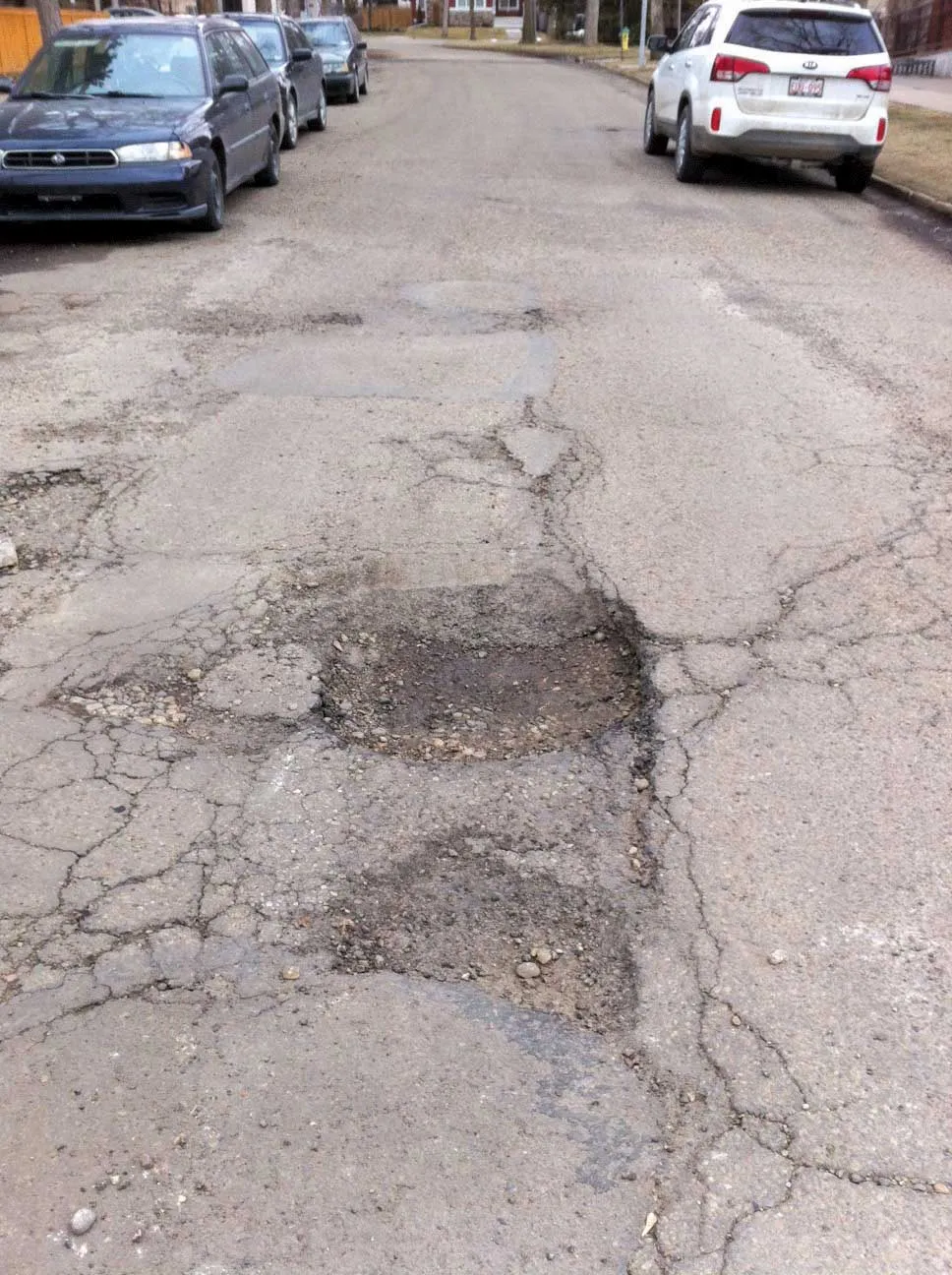
  • Nottingham study of smart scanning detects early pothole signs
    May 11, 2015
    Researchers at Nottingham Trent University in the UK are developing smart scanning technology using existing cameras to detect early signs of pothole development The technology scans roads for ravelling - the loss of aggregates from the asphalt which leads to potholes and cracks. Combined with 2D and 3D scanners on a pavement monitoring vehicle, a computer vision algorithm can examine the road with accuracy at traffic speed during day or night. The system works by detecting different textures of th