Accurate laser scanning with Leica Geosystems

A new handheld imaging laser scanner from Leica Geosystems is said to offer high efficiency for surveyors.
February 6, 2020 Read time: 1 min
Fast laser surveying is possible with the new tool from Leica Geosystems

The BLK2GO handheld imaging laser scanner is said to be the first-of-its-kind mobile scanner that can scan complex spaces efficiently and quickly due to its LiDAR, SLAM (simultaneous localisation and mapping) and edge computing technologies.

The laser scanner can capture 3D environments while the user is in motion, and generate 3D point clouds continuously. Compact in design, the unit allows access to spaces that may have been difficult or impossible to scan before.

Combining two-axis LiDAR with visual SLAM technologies, the BLK2GO will accurately follow a user’s trajectory while scanning. When used with the iOS app, users can get live feedback, check the device status, or do quick data inspection.

For more information on companies in this article

Related Content

  • Machine control technology round table discussion with Leica Geosystems, Topcon and Trimble
    January 4, 2022
    In this, the first in a series of top-level roundtable discussions led by World Highways, editor Mike Woof and editorial director Geoff Hadwick talk machine control technology with three world-class experts from Leica Geosystems, part of Hexagon, Topcon and Trimble. Find out what these key opinion leaders are thinking on six vitally important topics. Let them help you stay ahead of the game.
  • Using radar to deliver a fine runway finish
    April 4, 2014
    Radar Portal Systems (RPS) has spent a lot of time developing its sophisticated pavement top-surface photometric imaging system so it can cater specifically for the aviation market. This has now been specially developed for use on aircraft runways and taxiways The system was recently used at Brisbane Airport to survey runway and runway shoulders, collecting photometric top-surface data at a 4m width at speeds of up to 100km/h. This dataset allows the firm to display meshing data of the runway surface showin
  • Intercomp adds Bluetooth to wireless indicators
    September 30, 2020
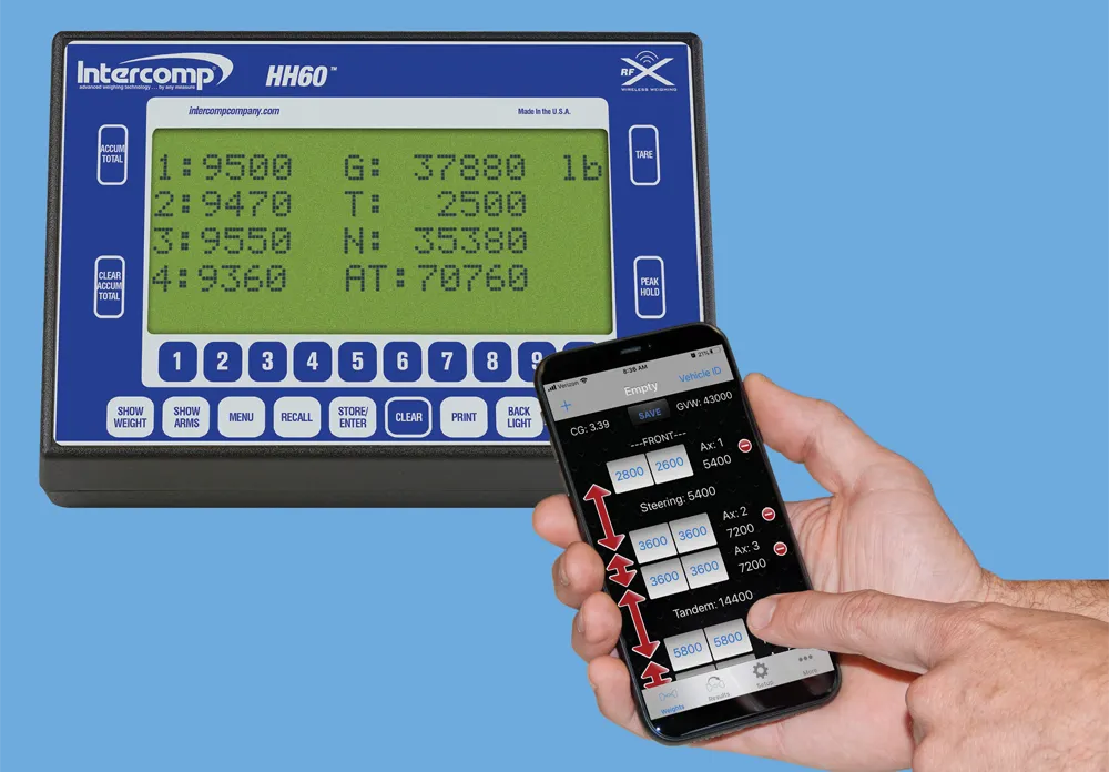
    Intercomp has added Bluetooth to its HH60 RFX Wireless Indicators to communication weight data to Apple mobile devices using the free apps iVehicleWeigh or iExactWeigh.
  • An array of innovative software and GIS solutions will boost construction efficiency
    July 18, 2012
    New software and GIS innovations will help boost construction efficiency - Mike Woof reports Major software suppliers continue to develop their technology and offer new products to the market. Major developments from leading firms will help improve operations for contractors in many segments of the construction industry, from initial design and planning through to maintenance. Version 8 of the well-known ARCADY program for assessment of roundabout capacity is just released by UK transport research and soft