Accurate laser scanning with Leica Geosystems

A new handheld imaging laser scanner from Leica Geosystems is said to offer high efficiency for surveyors.
February 6, 2020 Read time: 1 min
Fast laser surveying is possible with the new tool from Leica Geosystems

The BLK2GO handheld imaging laser scanner is said to be the first-of-its-kind mobile scanner that can scan complex spaces efficiently and quickly due to its LiDAR, SLAM (simultaneous localisation and mapping) and edge computing technologies.

The laser scanner can capture 3D environments while the user is in motion, and generate 3D point clouds continuously. Compact in design, the unit allows access to spaces that may have been difficult or impossible to scan before.

Combining two-axis LiDAR with visual SLAM technologies, the BLK2GO will accurately follow a user’s trajectory while scanning. When used with the iOS app, users can get live feedback, check the device status, or do quick data inspection.

For more information on companies in this article

Related Content

  • Leaner WIM enforcement through new solutions
    December 3, 2013
    Guy Woodford reports on a major new Weigh in Motion system, big WIM solution deals and how a leading firm in the sector is warning UK fleet operators to be aware of how leaner enforcement work is helping authorities detect more overloaded vehicles Kapsch TrafficCom announced its keenly awaited new Weigh in Motion (WIM) solution at this year’s ITS European Congress in Dublin, Ireland. The sector-renowned Austrian firm’s latest solution uses a number of sensors and loops to detect whether the vehicle exceeds
  • Hamm’s Dr Stefan Klumpp explains future of autonomous compaction
    December 20, 2016
    Autonomous vehicles that can move around without human intervention are not yet a part of everyday life, but they are almost within reach.
  • Testing advanced compaction technology
    April 6, 2020
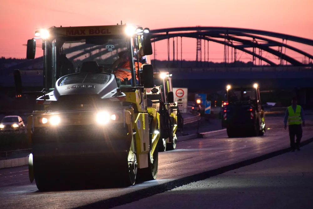
    Contractor Max Bögl and BOMAG have worked together on a major infrastructure project in Germany to carry out practical tests of the BW 174 Hybrid and BOMAP system.
  • New functionality for infrasfructure design software
    March 20, 2012
    Chris Bradshaw, Autodesk's vice-president for the Infrastructure Solutions division spoke to World Highways. The launch of the fourth version of its Civil 3D design software early this year will see software maker Autodesk getting serious about its road and general civil engineering package. Bigger projects can be handled in the 2008 version, and a range of new functionality is being added. "Though not everything we would like yet," said Chris Bradshaw, Autodesk's vicepresident for the Infrastructure S