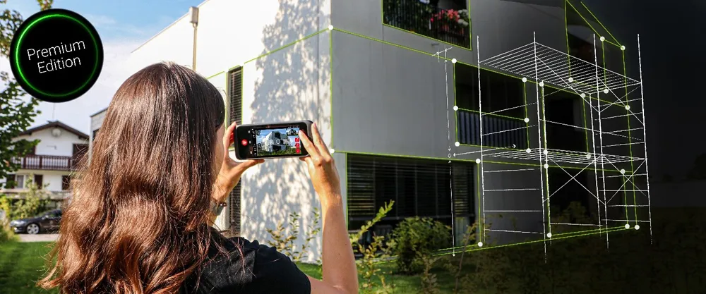
Accurate laser scanning with Leica Geosystems

A new handheld imaging laser scanner from Leica Geosystems is said to offer high efficiency for surveyors.
February 6, 2020 Read time: 1 min
Fast laser surveying is possible with the new tool from Leica Geosystems

The BLK2GO handheld imaging laser scanner is said to be the first-of-its-kind mobile scanner that can scan complex spaces efficiently and quickly due to its LiDAR, SLAM (simultaneous localisation and mapping) and edge computing technologies.

The laser scanner can capture 3D environments while the user is in motion, and generate 3D point clouds continuously. Compact in design, the unit allows access to spaces that may have been difficult or impossible to scan before.

Combining two-axis LiDAR with visual SLAM technologies, the BLK2GO will accurately follow a user’s trajectory while scanning. When used with the iOS app, users can get live feedback, check the device status, or do quick data inspection.

For more information on companies in this article

Related Content

  • Fast laser scanning from Hexagon
    June 19, 2023
    Hexagon says that its next-generation Leica BLK360 laser scanner offers precise and accurate scanning operations.
  • Efficient asset management delivers
    April 25, 2013
    Maximising the economic benefit of infrastructure assets can be achieved through delivering better quality maintenance. Increasing utilisation of infrastructure follows on from those assets being in better condition. Clearly by tracking infrastructure condition closely, huge gains can be made in addressing technical issues before they become more serious and more costly, as well as minimising disruption. In UK city Birmingham, high resolution aerial photography from Bluesky is helping the city council under
  • Handheld imaging from Leica Geosystems
    May 21, 2021
    Leica Geosystems is offering an updated imaging tool in the shape of its latest BLK3D model.
  • Positioning tools continue to improve
    July 16, 2012
    Topcon says that its new IP-S2 package combines GNNS positioning capabilities with inertial sensors, while the firm also has a solution for customers wanting to mix and match receiver components. The IP-S2 is a vehicle-mounted, mobile 3D tool that offers precision mapping and surveying capabilities. The package collects data using 3D laser scanners, LIDAR, and/or cameras, and this is then integrated, time-stamped and geo-referenced. The customer can use this assembled data to combine LIDAR point cloud and d