Topcon partnership for photogrammetry

Topcon Positioning is establishing a new partnership for photogrammetry technology. The deal has been struck with digital photogrammetric solution provider Agisoft. This move will further expand the Topcon portfolio of solutions for mass data collection (MDC). Agisoft is a leader in the processing of digital imagery for generating high-accuracy 3D spatial data using photogrammetric and computer vision techniques. Topcon will provide the Agisoft Photogrammetric Kit for Topcon – Professional Edition software
December 7, 2015 Read time: 1 min
342 Topcon Positioning is establishing a new partnership for photogrammetry technology. The deal has been struck with digital photogrammetric solution provider Agisoft. This move will further expand the Topcon portfolio of solutions for mass data collection (MDC).

Agisoft is a leader in the processing of digital imagery for generating high-accuracy 3D spatial data using photogrammetric and computer vision techniques. Topcon will provide the Agisoft Photogrammetric Kit for Topcon – Professional Edition software for post-processing of data collected using the Falcon 8 and Sirius Pro unmanned aerial systems (UAS).

Features include photogrammetric triangulation, dense point-cloud editing and classification, digital terrain or surface model export to a variety of formats including georeferenced orthomosiac production (including GeoTIFF and KML export), multi-spectral imagery processing, 3D model generation and texturing, as well as full measurement analysis tools.

For more information on companies in this article

Related Content

  • Construction trends in North America, looking to the future
    June 10, 2019
    Exciting changes in construction will reward the aware contractor - *Jeff Winke comments Hop in a car and drive anywhere in the US and chances are the drive will be on roads and highways that need patching, resurfacing, or widening, and bridges often show signs of needed maintenance. Sadly, things are in bad shape. On the last two report cards from the American Society of Civil Engineers, the US infrastructure scored a D+. This year’s report urges the government and private sector to increase spending
  • Automated testing is safer, cheaper and more thorough
    December 12, 2018
    Automated testing is improving safety during paving and saving on testing costs. But it could also help reduce long-term maintenance costs too - Kristina Smith writes Testing pavements as they are laid can be a hazardous activity. The technician may be on their hands and knees, far behind the main gang, or reaching inside the hopper to measure the temperature of the hot mix or dodging rollers to take density readings.
  • Drones in construction, the future of surveying?
    August 21, 2015
    It may be early days for using drones – unmanned aerial systems (UAS) -- to map construction sites, but technology and legislation are moving in that direction. At the moment drones can fly within only a 500m radius of the ‘pilot’ standing on the ground, making the flight area a 1km diameter. This is the key limiting issue for any sector, especially road construction, says Jonathan Gill, a robotics engineer and a qualified drone pilot for the past seven years.
  • Accurate scanning
    February 6, 2012
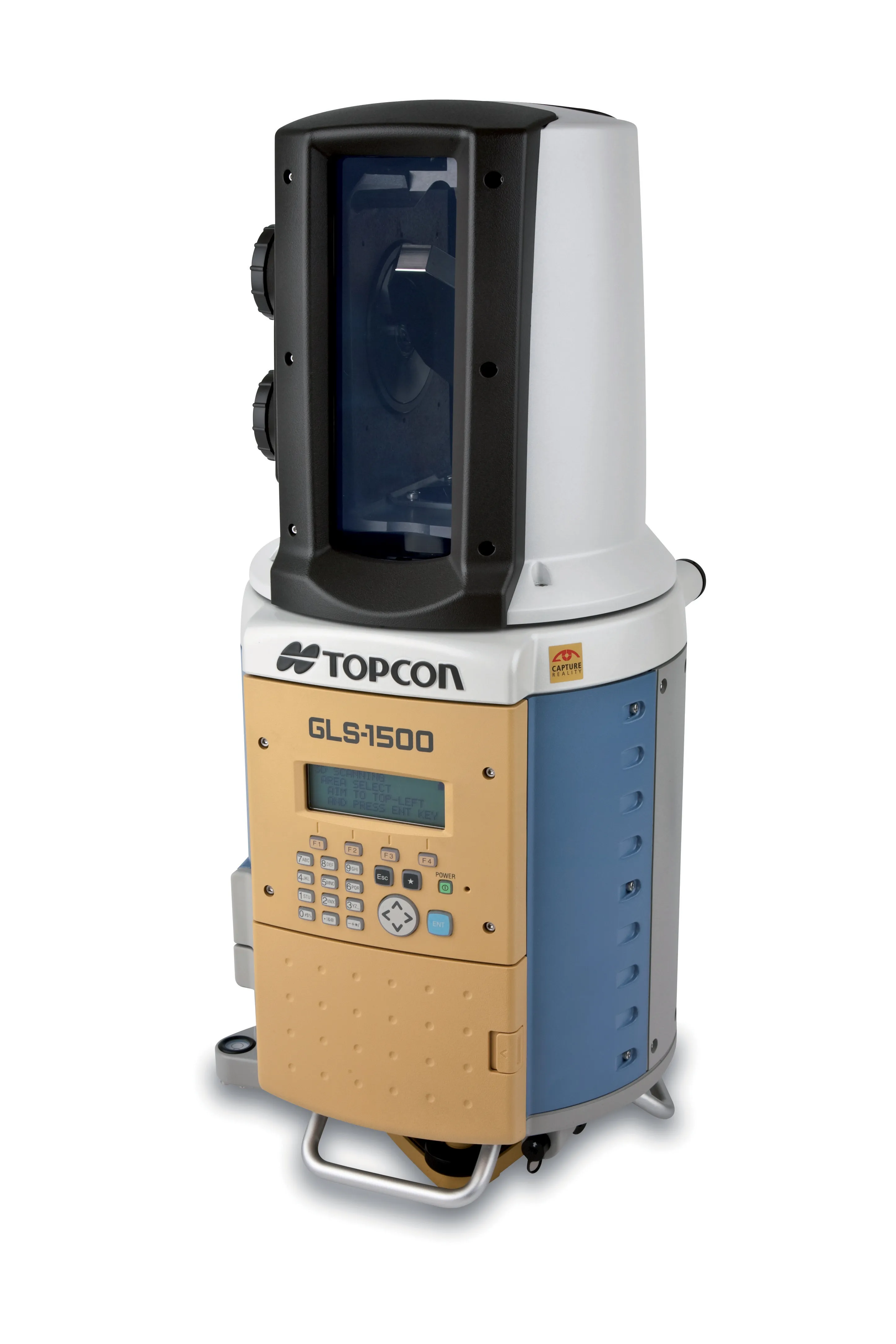
    TOPCON CLAIMS that its GLS- 1500 laser scanner speeds point cloud collection. This unit is 10 times faster than previous units and collects up to 30,000 points/second, reducing the amount of equipment needed in the field. The GLS-1500 offers a range of up to 330m and is designed for quick setup to save time and improve productivity.