Topcon partnership for photogrammetry

Topcon Positioning is establishing a new partnership for photogrammetry technology. The deal has been struck with digital photogrammetric solution provider Agisoft. This move will further expand the Topcon portfolio of solutions for mass data collection (MDC). Agisoft is a leader in the processing of digital imagery for generating high-accuracy 3D spatial data using photogrammetric and computer vision techniques. Topcon will provide the Agisoft Photogrammetric Kit for Topcon – Professional Edition software
December 7, 2015 Read time: 1 min
342 Topcon Positioning is establishing a new partnership for photogrammetry technology. The deal has been struck with digital photogrammetric solution provider Agisoft. This move will further expand the Topcon portfolio of solutions for mass data collection (MDC).

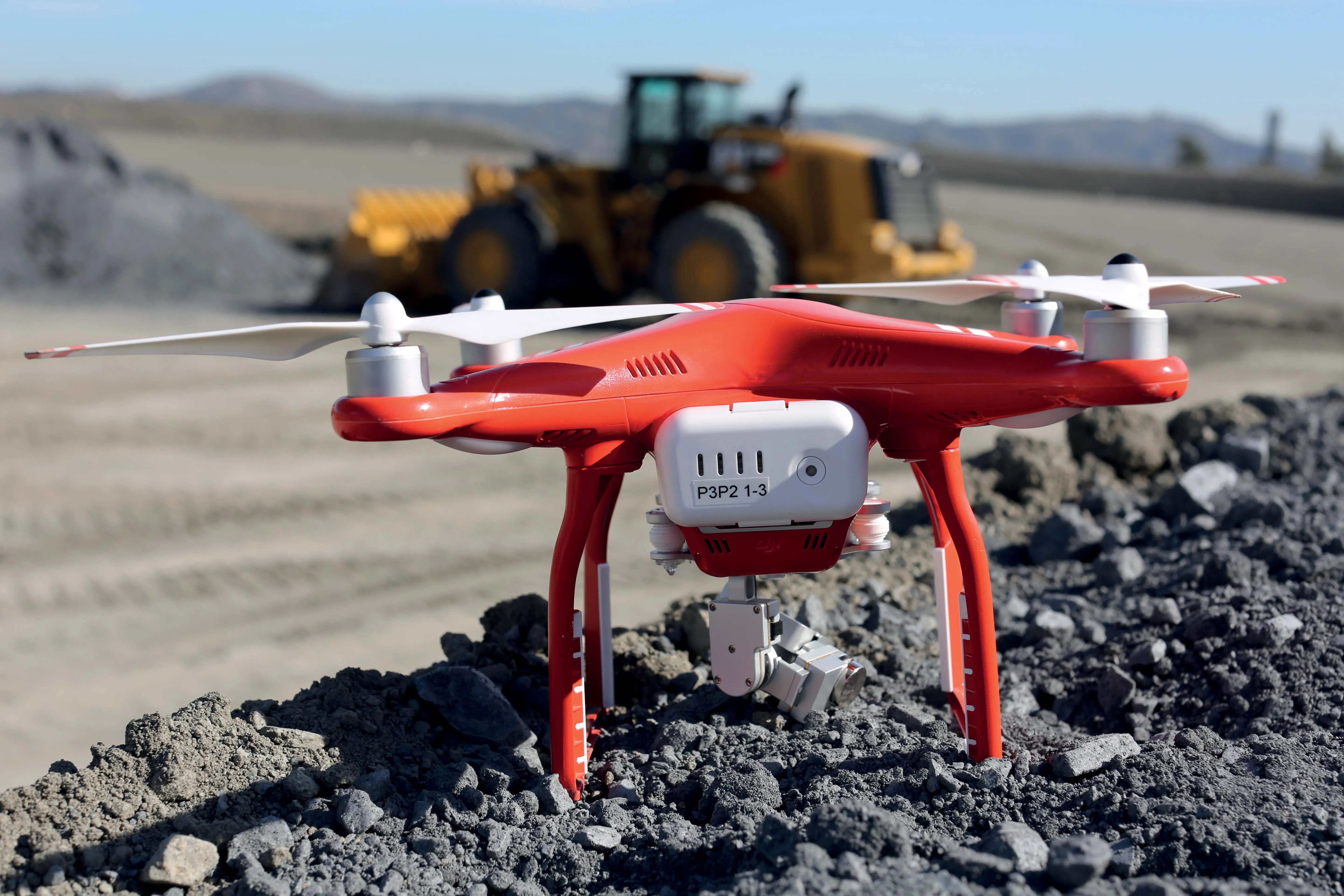
Agisoft is a leader in the processing of digital imagery for generating high-accuracy 3D spatial data using photogrammetric and computer vision techniques. Topcon will provide the Agisoft Photogrammetric Kit for Topcon – Professional Edition software for post-processing of data collected using the Falcon 8 and Sirius Pro unmanned aerial systems (UAS).

Features include photogrammetric triangulation, dense point-cloud editing and classification, digital terrain or surface model export to a variety of formats including georeferenced orthomosiac production (including GeoTIFF and KML export), multi-spectral imagery processing, 3D model generation and texturing, as well as full measurement analysis tools.

For more information on companies in this article

Related Content

  • King of all it surveys
    June 20, 2012
    Topcon Europe Positioning has launched a new total station range to its mid-range engineering grade portfolio. Available in three different angular accuracy models (2.54cms, 7.62cms and 12.7cms), and running the latest version of Windows CE 6.0, the OS Series is said by Topcon to redefine this class of optical measuring device.
  • Benin airport job for Topcon’s RD-M1 scanner
    May 13, 2022
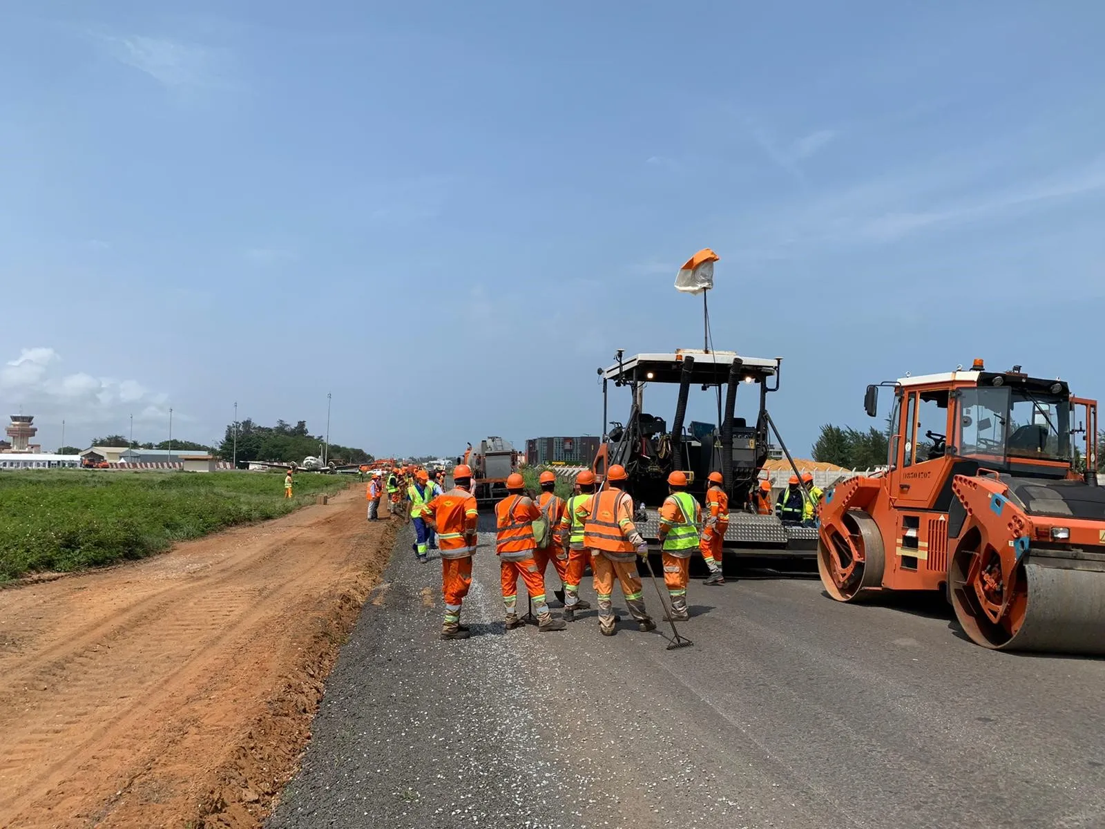
    A $16 million runway project at Cotonou Cadjehoun Airport needed Topcon Positioning’s RD-M1 road scanner to ensure precise milling and quality resurfacing.
  • Quantm is making Trimble one of the world’s leading BIM market challengers
    December 19, 2016
    When Trimble first launched its Quantm software system a decade or so ago, the company was making an important step into end-to-end BIM modelling. The rules of the game were changing fast. Adrian Greeman reports When survey and machine control equipment maker Trimble bought the Australian road planning software system Quantm in 2006 it might not have realised quite what it was leading to. A decade later, Quantm is helping to put Trimble among the big players in the BIM (building information modelling) en
  • Caterpillar has a Vision that includes total project site overview
    April 5, 2016
    Caterpillar may be on its financial back foot, but a recent event showed the company has a vision far beyond this or the next financial year – David Arminas reports. Many construction machinery manufacturers have some data collection and analysis systems for their heavy equipment. For a good decade, manufacturers have been moving in this direction, first as retrofit packages on machines in the field and increasingly as standard on newer models. Caterpillar is no exception among manufacturers that are movin