Topcon announces increased integration with Autodesk scanning software

Topcon Positioning Group has announced increased integration in the Autodesk and Topcon reality data workflow that it says is designed to increase project efficiency. Raw scan data from the Topcon GLS-2000 laser scanner can now be taken directly into Autodesk ReCap 360 and ReCap 360 Pro with no intermediate software conversion steps necessary. Topcon said that this integration is designed to streamline point cloud analysis to quickly identify conflicts, measure variations and make adjustments at vari
June 2, 2016 Read time: 2 mins
342 Topcon Positioning Group has announced increased integration in the 685 Autodesk and Topcon reality data workflow that it says is designed to increase project efficiency.

Raw scan data from the Topcon GLS-2000 laser scanner can now be taken directly into Autodesk ReCap 360 and ReCap 360 Pro with no intermediate software conversion steps necessary.

Topcon said that this integration is designed to streamline point cloud analysis to quickly identify conflicts, measure variations and make adjustments at various stages of a construction project.

Charles Rihner, vice president of the Topcon GeoPositioning Solutions Group, said that the Topcon and Autodesk BIM solution, users can speed up the process by now directly importing their scan data into ReCap 360 and 360 Pro for every step of the point cloud process. This includes registration – but for Pro only - cleanup, indexing, segmentation and more. “Once in ReCap 360 or Pro, reality data captured with the Topcon GLS-2000 is ready for consumption in any Autodesk software solution such as AutoCAD, Revit, Inventor, Navisworks, Infraworks, and 3ds Max,” he said.

The system’s “Capture, Process and Collaborate” workflow is designed to allow users to get to the collaboration stage and offer their customers the value of the point cloud more quickly.

“With these new versions of ReCap 360 and Pro, our capture workflow is now even faster allowing our users to get more accurate data to and from the field faster than ever,” said Rihner.

Topcon Positioning Group designs, manufactures and distributes precise positioning products and solutions for the global surveying, construction, agriculture, civil engineering, BIM, mapping and GIS, asset management and mobile control markets. Its brands include Topcon, Sokkia, Tierra, Wachendorff Elektronik, Digi-Star, RDS Technology, NORAC and 2LS.

For more information on companies in this article

Related Content

  • Topcon’s new survey solution
    October 27, 2016
    Topcon Positioning Group’s new surveying suite features four integrated solutions, comprising three hardware products and a single software system. The firm says that this package provides users with a powerful survey system. The Topcon Elite Survey Suite includes the new GT series of robotic total stations, HiPer HR hybrid GNSS receiver, FC-5000 field computer and MAGNET 4.0 software system. According to Topcon, users can benefit from advanced geo-positioning products and technology in one system.
  • Highway condition monitoring move
    August 2, 2012
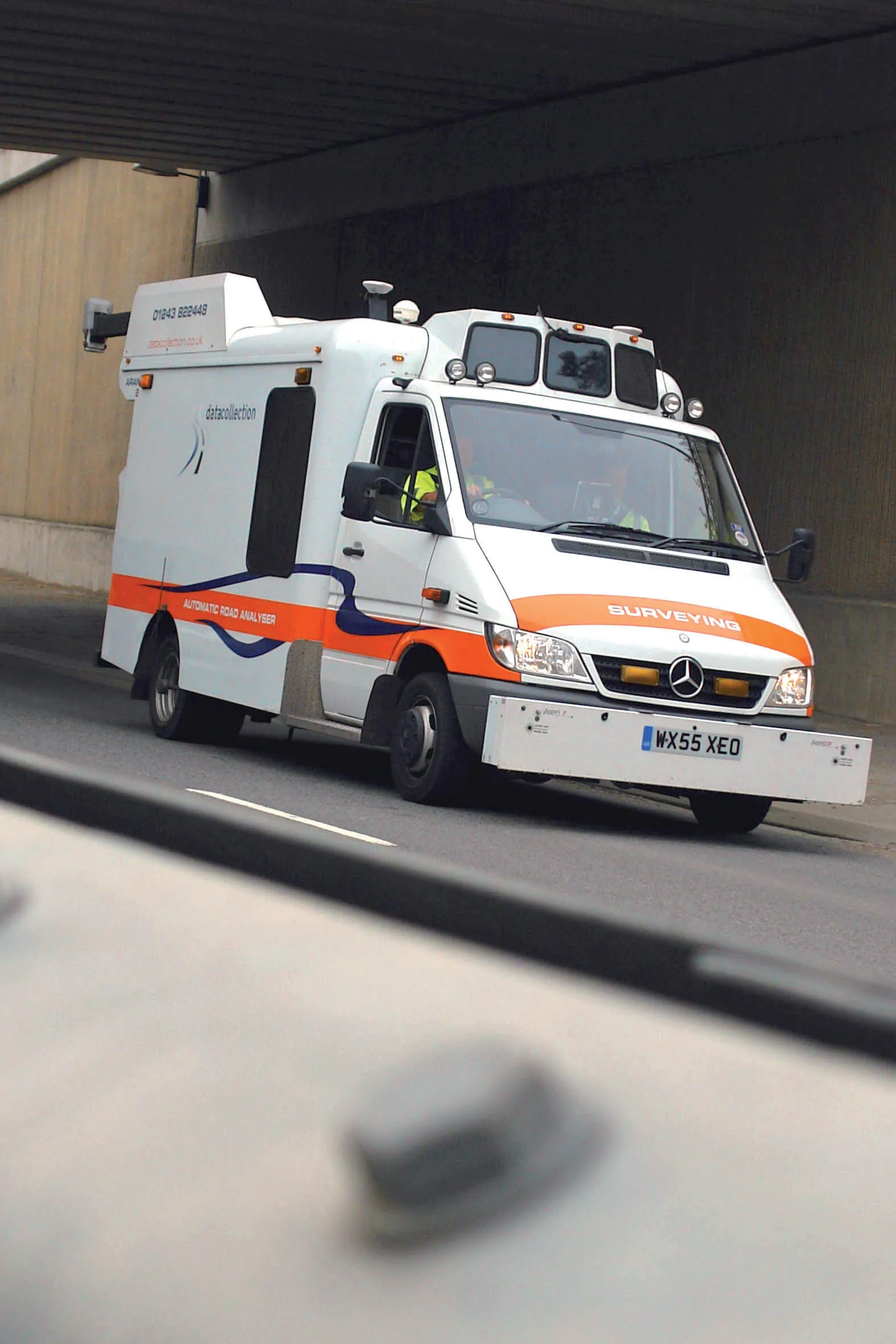
    Geospatial surveying specialist Yotta DCL now has a contract with Southampton City Council for road surface condition monitoring and is using its advanced laser technology. Yotta DCL is surveying 300km of the city's roads using its sophisticated ARAN survey vehicle which uses innovative laser scanning and precision GPS systems. These surveys are operating as part of a UK Government-specified programme called Surface Condition Assessment for the National Network of Roads (SCANNER). This will provide the city
  • Made to Measure laser mapping
    June 15, 2012
    Dutch surveying company Geomaat says it is taking millimetre accurate measurements in record time to aid a range of highway design, construction and maintenance projects. Using the mobile laser mapping system StreetMapper, and specially developed point cloud software, Geomaat says it can calculate highly accurate cutting, milling and asphalt figures, create as built models and undertake change detection.
  • Made to Measure laser mapping
    June 26, 2012
    Dutch surveying company Geomaat says it is taking millimetre accurate measurements in record time to aid a range of highway design, construction and maintenance projects. Using the mobile laser mapping system StreetMapper, and specially developed point cloud software, Geomaat says it can calculate highly accurate cutting, milling and asphalt figures, create as built models and undertake change detection.