Technology event in Orlando

Leica Geosystems has opened its Hexagon 2011 technology event, which is running from 7-9 June.
February 28, 2012 Read time: 2 mins
265 Leica Geosystems has opened its Hexagon 2011 technology event, which is running from 7-9 June. Located in the Orlando World Center Marriot Resort in Orlando, Florida, Hexagon 2011 brings together the latest technologies and user communities from Leica Geosystems, Z/I Imaging, as well as Intergraph, and Hexagon Metrology. Juergen Dold, President, Hexagon Geosystems, and Ken Mooyman, President, Hexagon Geosystems NAFTA, will present the featured keynote address for the Geosystems at Hexagon 2011 track. Titled "Advancing Earth's Infrastructure with Measurement Technologies", the keynote provides an overview of how the portfolio of Leica Geosystems and Z/I Imaging solutions, combined with its customers' expertise, address key global challenges and associated macro-trends.

Attendees can learn how Geosystems solutions interface with and leverage Intergraph and Metrology solutions. "Hexagon 2011 unites a broad base of customers and partners from all over the world. These next few days provide an unique opportunity to showcase the synergies across various industries and the importance of measurement technologies in helping our customers meet some of the greatest challenges facing mankind today" said Mooyman.

The Geosystems at Hexagon 2011 track alone features more than 100 targeted breakout sessions tailored into three sub-tracks - "Trends in Mapping & Positioning for Government and Industry", "HDS/Laser Scanning", and "Geospatial Solutions"  incorporating hands-on training courses, previews of new technologies, interactive technical demonstrations and workshops, compelling customer testimonials from today's thought leaders and unlimited networking opportunities.

Employing the theme "Building a Smarter World," Hexagon 2011 emphasizes the ways in which Hexagon empowers organizations to build a smarter world through industry-specific technologies that make processes and infrastructures better, safer and smarter.

For more information on companies in this article

Related Content

  • Supergeo offers GIS training tool
    April 27, 2015
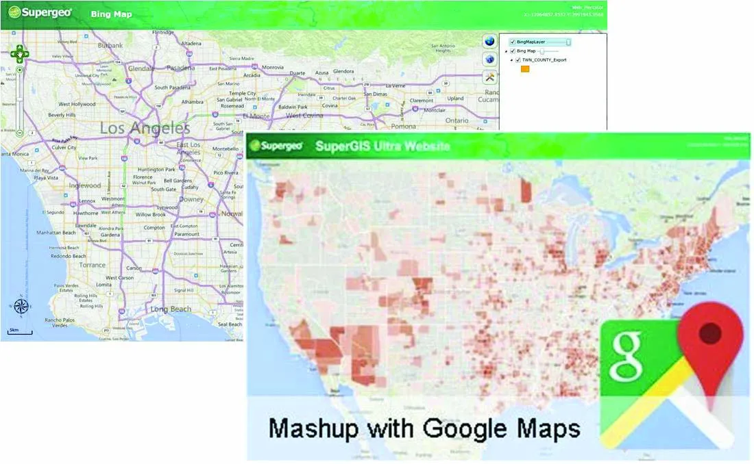
    Supergeo Technologies says that its latest packages offer effective training for both GIS users and non-GIS professionals, as well as new tools for sharing geospatial data. The training offering comes in the shape of free online courses with extensive learning materials. The firm says that it is a leader in the field with its state-of-the-art GIS technology and is able to assist personnel from various industries to address different tasks with spatial information. A comprehensive series of online course
  • Data handling for efficient machine control
    October 16, 2012
    The rapid increase in information availability is transforming the construction sector. Conventional methods used for sourcing geographic data based on maps and localised sampling meant that there was often a lack of accurate information relating to ground conditions at specific areas where work was planned, often resulting in unwelcome surprises for construction companies along with additional costs for projects.
  • Transport the key to economic growth
    July 12, 2012
    Delegates from around the world discussed the future of global transport at the 2009 International Transport Forum in Leipzig, Germany In the face of the global economic downturn, transport will play a key role in supporting economic growth and in the creation of new confidence in the world's economic future, the delegates of the 2009 International Transport Forum (ITF) agreed. As almost all global threats have strong, central links and impacts, the transport sector will remain at the forefront of most glob
  • Real time site monitoring technology
    July 19, 2012
    Leica Geosystems is broadening its site monitoring technology with the introduction of the GeoMoS package. This can be linked to the firm's existing GNSS Spider software to offer an array of TPS and GNSS monitoring tools. Combined, these tools provide a web-based service for visualisation and analysis of monitoring. Authorised users can access a monitoring project using a web browser, pocket PC or mobile phone. Using the GeoMoS Web service, graphs and views can be customised and be tailored to the needs of