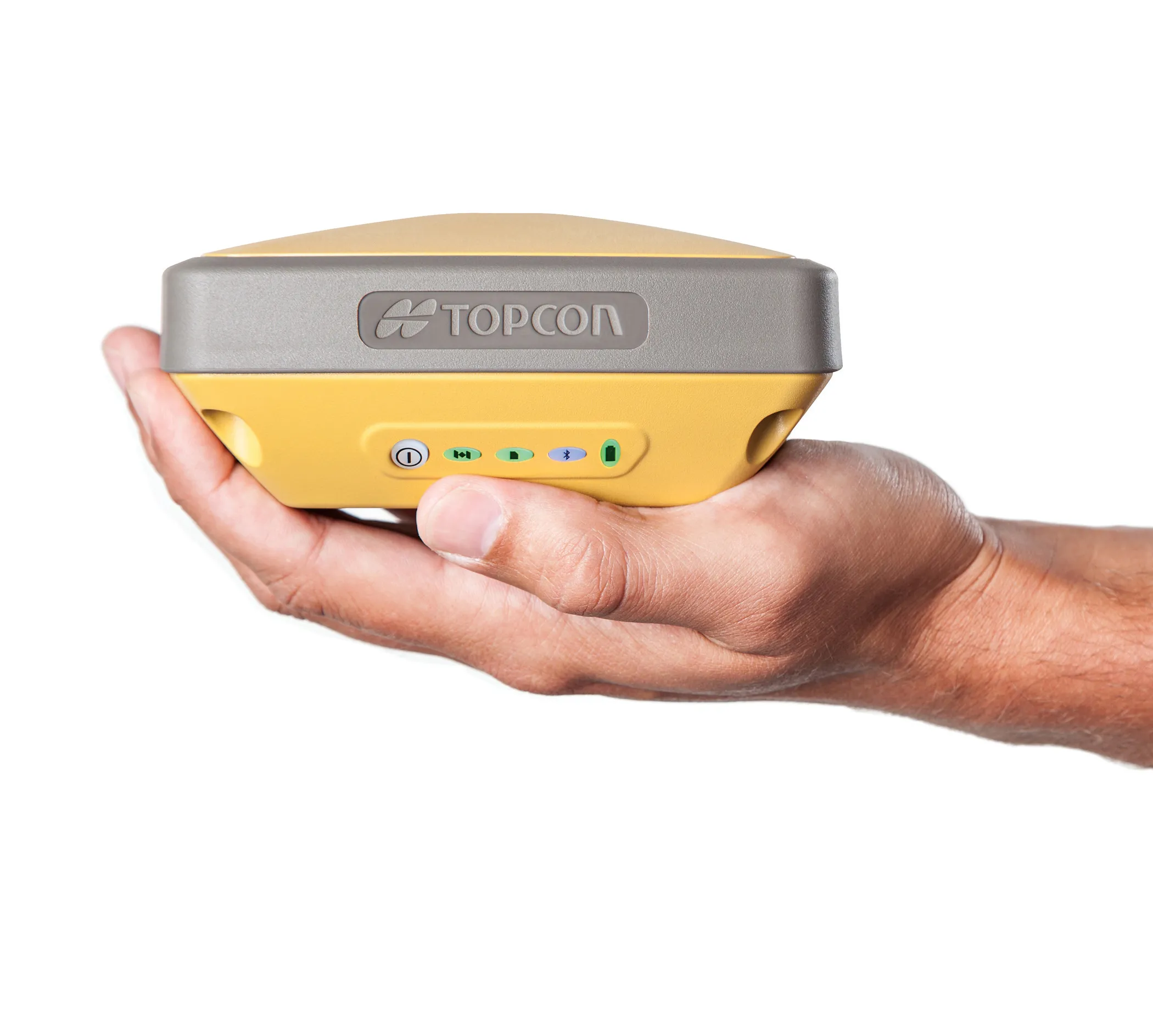
Precise positioning with Topcon and Vodafone

Topcon and Vodafone will offer technology for precise positioning.
By Adam Hill September 13, 2022 Read time: 2 mins
Topcon and Vodafone are working on accurate positioning technology that will help with the development of autonomous vehicle for both on- and off-highway uses

New technology being developed jointly by Vodafone and Topcon Positioning Group will provide precise positioning that will assist in the mass adoption of Vehicle to Everything (V2X) services, and autonomous vehicles.

The service, called Vodafone GNSS Corrections, will locate vehicles and Internet of Things (IoT) devices "with a greater degree of accuracy than using only individual global navigation satellites systems (GNSS)", the firms add in a statement.

Location accuracy will be improved "from a few metres to just centimetres" with Topcon’s European network of thousands of GNSS reference stations, "especially when vehicles and devices are fitted with suitable antennas and receiver equipment".

GNSS needs to compensate for inaccuracies caused by satellite constellations, receiver hardware and atmospheric conditions.

Topcon offers cloud-based corrections - from its network of fixed reference stations that constantly receive GNSS data - which are then sent to vehicles and devices: trials of the service are due to begin this month with selected customers invited to join pilots in Germany, Spain and the UK.

It will be tested with a variety of devices connected to Vodafone’s global IoT network (150 million connections) and its European network which covers 12 countries. 

Among various potential applications, the companies say that e-bike riders could use Vodafone GNSS Corrections to provide details of their exact location and then alert other road users of their presence.

Vodafone says precise positioning is a complement to its Safer Transport for Europe Platform, unveiled in March, which allows entities to communicate with each other where no line of sight exists.

It has been successfully tested in Germany and the UK and will be made available via Vodafone Automotive and third-party apps later this year.
 

For more information on companies in this article

Related Content

  • Topcon introduces sophisticated GIS technology
    November 20, 2014
    Topcon Positioning Group is broadening its range of GIS solutions with the introduction of the new FC-500 data controller and MAGNET Relay package. The FC-500 unit features a large, bright sunlight-readable display and is compatible with either the Topcon eGIS or MAGNET Field GIS software.
  • Topcon has developed new satellite tracking systems
    January 6, 2017
    Topcon Europe Positioning says that its new HiPer V system features the firm’s patented Vanguard technology. This offers customers the choice of GPS and GLONASS signals, as well as Galileo when operationally available. It also includes a variety of choices of internal radio, cellular and Bluetooth communication options, as well as a sophisticated power supply. An important feature of the HiPer V is the Vanguard ASIC chip. The company claims that the architecture behind this new chipset leads the market, and
  • Topcon has developed new satellite tracking systems
    February 8, 2013
    Topcon Europe Positioning says that its new HiPer V system features the firm’s patented Vanguard technology. This offers customers the choice of GPS and GLONASS signals, as well as Galileo when operationally available. It also includes a variety of choices of internal radio, cellular and Bluetooth communication options, as well as a sophisticated power supply. An important feature of the HiPer V is the Vanguard ASIC chip. The company claims that the architecture behind this new chipset leads the market, and
  • Positioning tools from Topcon
    November 15, 2012
    Topcon is offering an array of new tools that can improve surveying and machine control capabilities for contractors. Light and compact, the B110 dual-frequency positioning receiver board features the new Vanguard ASIC system and can support 226 universal channels for GPS, GLONASS and Galileo tracking and scalable positioning. The B110 board’s small size, low power consumption and versatile communication interfaces make it easy to integrate into any precise positioning application. It features a high perfor