New generation highways condition data collection

Fugro Aperio is launching its SCANNER survey service, which it says offers competitive, efficient and dynamic highways data collection to assist road agencies and local authorities in reporting to National Indicators.
February 21, 2012 Read time: 2 mins
Chris Newson, Fugro Aperio
2929 Fugro Aperio is launching its SCANNER survey service, which it says offers competitive, efficient and dynamic highways data collection to assist road agencies and local authorities in reporting to National Indicators.

Chris Newson has joined the company, part of the Fugro group of companies, as network services manager to head up the company’s newly-formed road condition scanning business.

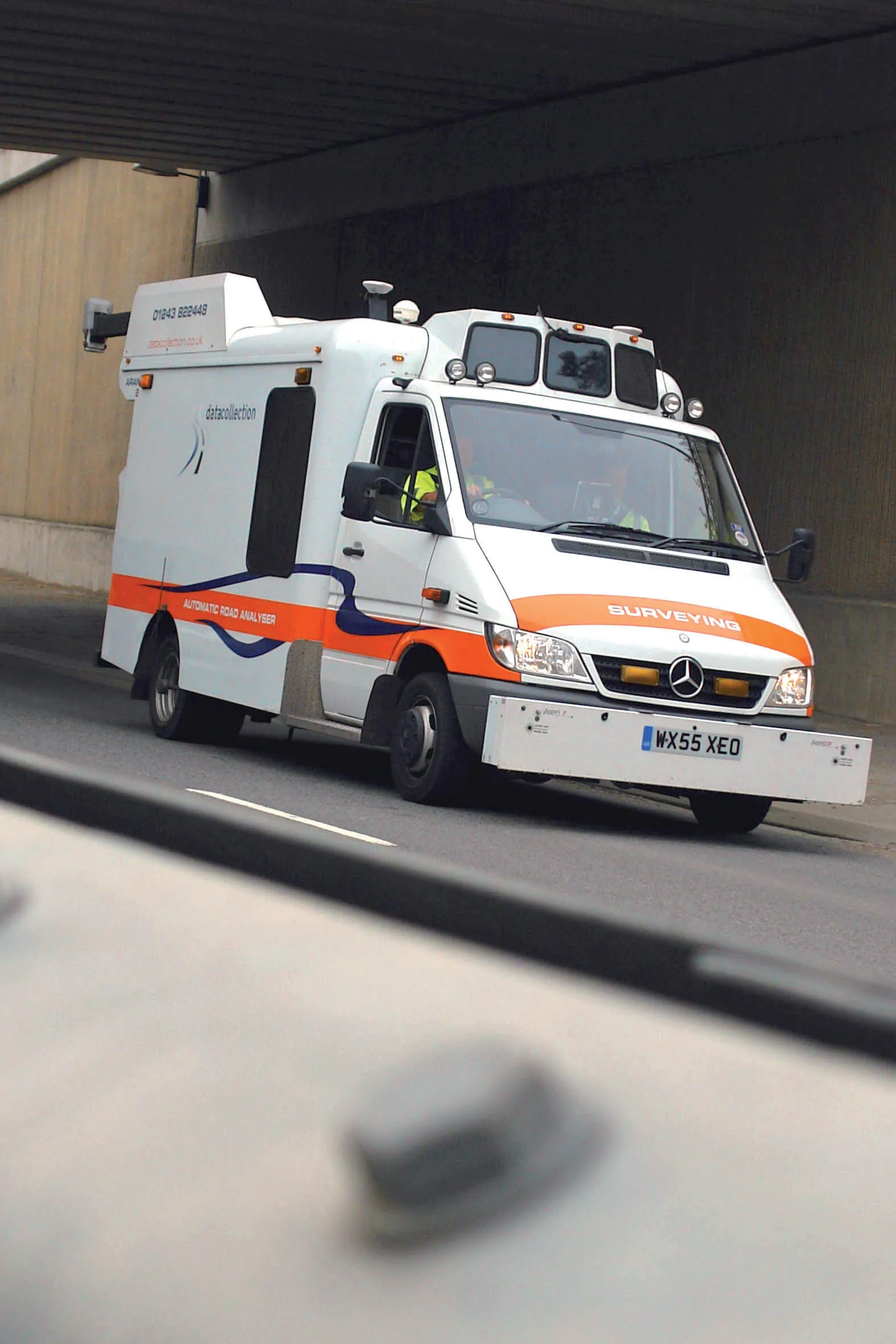
The company’s state-of-the-art SCANNER fleet is equipped with a new generation version of the ARAN (Automatic Road Analyser) integrated survey platform developed by 1169 Fugro Roadware.

ARAN provides efficient collection, synchronisation and processing of the statutory road condition datasets forming part of the SCANNER specification.

Clients can specify the collection of additional types of asset data such as ground-penetrating radar or high definition, forward-facing video, together with their SCANNER data.

It allows highways authorities to reduce the cost and carbon footprint of commissioning separate road surveys, while yielding additional interpretative data to enhance accuracy and cost-efficiency in asset management decisions.

“As well as overseeing the efficient delivery of SCANNER data under our contracts, I will be advising clients on best practice, cost efficiency in data gathering, and value management of SCANNER intelligence to best protect their budgets,” says Newson.

For more information on companies in this article

Related Content

  • The UK Highways Agency engages Fugro for Doppler laser surveying
    January 6, 2015
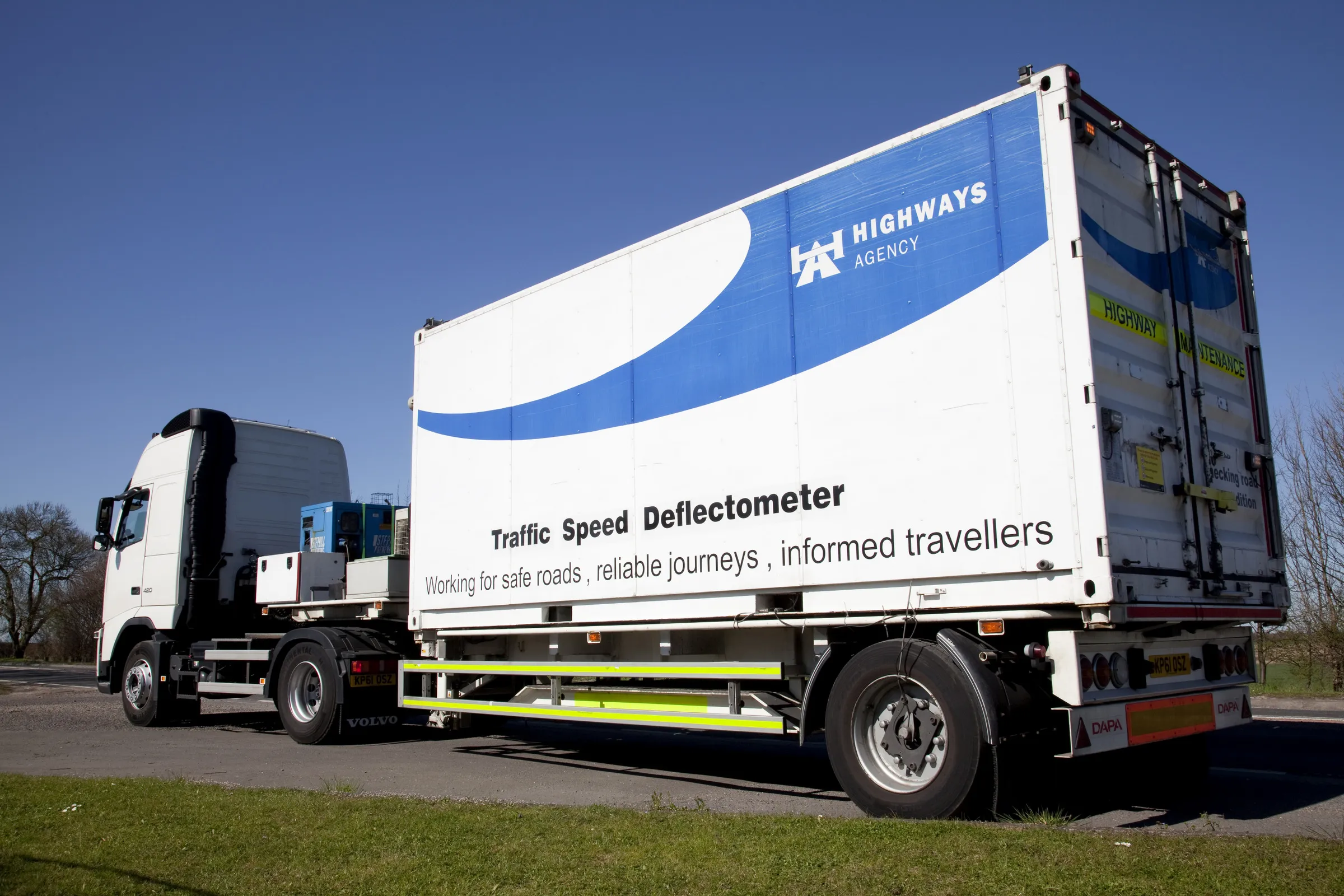
    The United Kingdom’s Highways Agency has awarded its first commercial contract to survey thousands of road lanes using sophisticated Doppler laser equipment. Fugro is driving the project forward, reports David Arminas The Highways Agency Traffic Speed Defelectometer vehicle looks like an ordinary flatbed truck delivering a similarly ordinary steel shipping container. But looks are deceiving. Inside the container is a sophisticated Doppler laser measuring system collecting pavement condition data of the U
  • IBI’s Routemapper charts new territory with Highways England
    September 14, 2016
    Mapping the asset High-speed data collection just got faster for England’s newly created strategic roads operator Highways England’s establishment as a publicly held company in 2015 created a need for a highly accurate asset inventory. This was potentially very costly and had serious safety implications. As well as its relationships with numerous managing agents and contractors, assets include 35,300km of highway, 12,100km of earthworks, 23,200km of safety fences, 150,000 technology assets and sig
  • Sophisticated software solutions offering surveying innovation and construction efficiency
    August 28, 2014
    An array of new software tools will deliver greater efficiencies to construction companies – Mike Woof writes. Sophisticated software systems are delivering advanced solutions to traditional construction tasks. Key developments have been made by major players in the sector, such as Bentley Systems, Fugro Roadware, Leica Geosystems and Topcon Sokkia. From Bentley comes a new package that will help road construction activities in urban areas featuring a heavy concentration of underground utilities. This n
  • Highway condition monitoring move
    August 2, 2012
    Geospatial surveying specialist Yotta DCL now has a contract with Southampton City Council for road surface condition monitoring and is using its advanced laser technology. Yotta DCL is surveying 300km of the city's roads using its sophisticated ARAN survey vehicle which uses innovative laser scanning and precision GPS systems. These surveys are operating as part of a UK Government-specified programme called Surface Condition Assessment for the National Network of Roads (SCANNER). This will provide the city