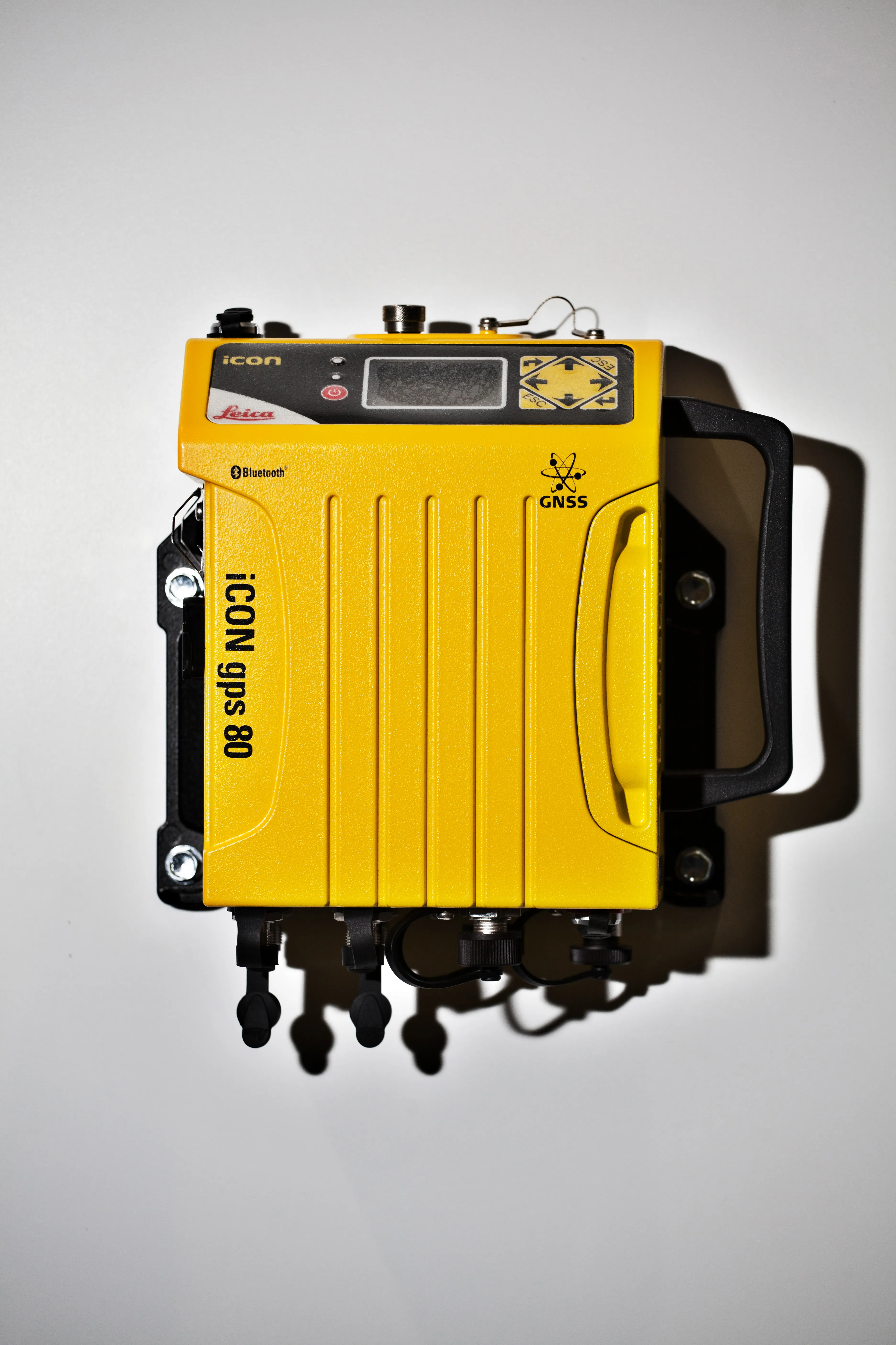
After an 18 month competitive tendering process, Leica Geosystems has been awarded the contract to supply over two hundred survey grade Leica Viva GS15 GNSS receivers to Ordnance Survey, the national mapping agency for Great Britain.
March 9, 2012
Read time: 2 mins
After an 18 month competitive tendering process, 265 Leica Geosystems has been awarded the contract to supply over two hundred survey grade Leica Viva GS15 GNSS receivers to Ordnance Survey, the national mapping agency for Great Britain. The contract also includes the supply of over two hundred Leica Disto D8 handheld distance meters, plus options for multiple reflectorless Total Stations.
This award follows previous successful tenders. In 2007, Leica Geosystems supplied over one hundred Leica GRX1200 GNSS receivers that provide the raw data to Ordnance Survey’s OS Net, to Leica SmartNet and to the other Network RTK services in Great Britain.
The Leica Viva GS15 receivers will replace the two hundred and fifty Leica System 500 GPS receivers supplied to Ordnance Survey’s field surveyors in 2002.
“The geographic information industry is changing rapidly and it is important that national mapping agencies continue to invest to stay relevant to their customers both in and outside the public sector,” said Neil Ackroyd, Ordnance Survey director of data capture and management. “Over the last ten years Ordnance Survey has invested substantially in technology, the quality of its data and its service to our wide range of customers. The Leica Viva GS15 receiver selected offers flexible communication options, centimetre level accuracy and its built-in readiness for the future rise of the Galileo satellite constellation and we are confident it will meet Ordnance Survey’s demanding needs.”


