Accurate grading for Caterpillar using Leica Geosystems technology

Accurate grading is possible for Caterpillar machines using Leica Geosystems technology.
By MJ Woof October 2, 2023 Read time: 2 mins
Combining technology from Leica Geosystems with the Cat 2D grade Control package can boost earthmoving efficiency

A new package for Caterpillar machines is available from Leica Geosystems, which will boost grading accuracy. Using the Cat Grade 2D Assist system in combination with the Leica MC1 3D package will extend capabilities.

The Cat Grade 2D Assist system allows accurate grading and levelling in two dimensions (horizontal plane). However, adding the Leica MC1 3D machine control system extends this functionality into the vertical plane. With 3D machine control, operators can create, cut, and verify designs horizontally and also at various depths and slopes.

This capability ensures precise and efficient earthmoving and construction tasks, transforming grading and excavation. Complex grading tasks, such as shaping surfaces with varying slopes or creating intricate contours, can now be completed with accuracy, reducing the need for costly rework.

Marcel Schleiss, owner of Schleiss AG in Switzerland, who has already benefited from this offer, shared his experience using the technology on the company’s latest earthwork project: "We have eagerly anticipated this new compatibility offer for some time. We are delighted to collaborate with top-notch suppliers of construction technology, as well as with the exceptionally supportive teams at both Leica Geosystems and the Cat dealer, Avesco."

"As an excavator operator, I've experienced first-hand how the combination of Cat Grade 2D Assist and Leica MC1 3D machine control empowers us to deliver superior results.” said Fabian Stadelmann, excavator operator at Schleiss AG. “It not only optimises our productivity but also minimises material waste, ultimately contributing to more cost-effective and successful construction projects." Leica Geosystems remain committed to pushing the boundaries of innovation and technology in the construction and earthmoving sector to increase interoperability, providing customers with cutting-edge solutions that enhance productivity, precision, and overall project success.

The Leica MC1 3D machine control system is available through authorised Leica Geosystems dealers. Customers can inquire about minimum compatibility requirements for 3D machine control solutions for Caterpillar Next Gen 2D excavators at their local Cat dealer. 
 

For more information on companies in this article

Related Content

  • New earthmoving machines
    July 29, 2019
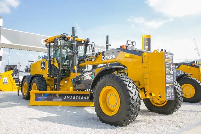
    An array of advanced earthmoving machines are coming to market, offering increased performance, lower fuel consumption and reduced emissions The global market for earthmoving machines has been particularly strong over the last year. Demand for new equipment has been at a high, with sales of crawler excavators proving especially robust. Manufacturers have responded by increasing output, while tempting customers with new models offering major performance gains. Dozers In the market for dozers, Caterp
  • Innovative compaction advances
    July 23, 2024

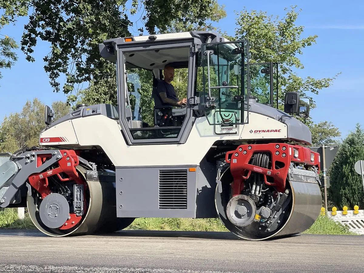
    Innovative asphalt compaction machines are now being introduced by several of the major manufacturers, with solutions offering improved working efficiency and performance.

    Three of the most innovative developments for asphalt rollers come from Dynapac, BOMAG and Hamm, although new asphalt compactors are also being introduced by other firms such as Ammann and Caterpillar.

  • Improved dozing from Case’s latest M-series machines
    April 26, 2018
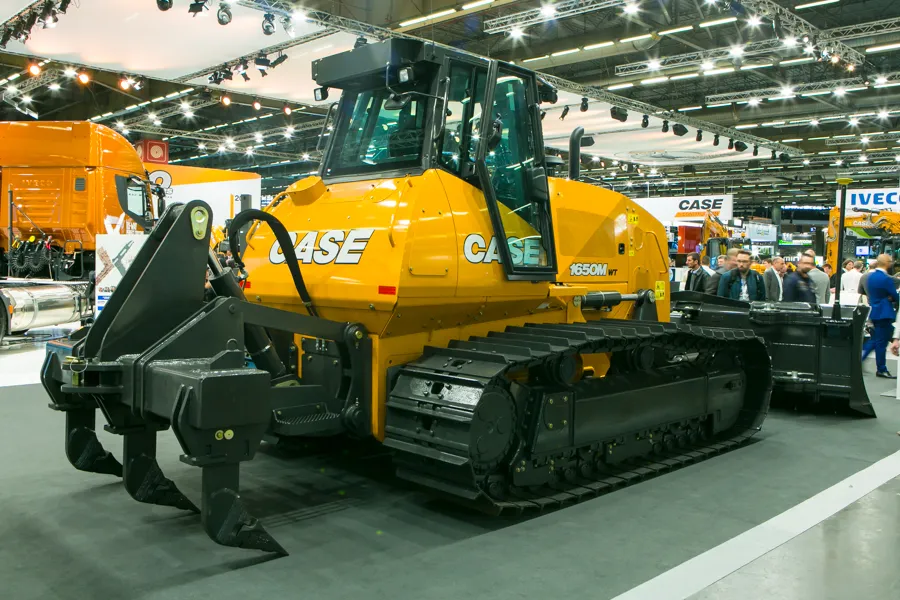
    Case is offering its three latest M-Series dozers, which are said to offer higher pushing power and increased grading accuracy. The machines have FPT engines rated at 97, 123 and 194kW, which meet Tier 4 Interim emissions requirements. Drive is hydrostatic, allowing full power in turns, as well as fine control for fine grading or slope duties. The dozer is equipped as standard with machine control technology from Leica Geosystems, with whom Case CE has a partnership. Customers have a choice of 2D or 3D pack
  • Know what lies below with Leica’s DSX 3D utility detection system
    April 11, 2025

    Emergency road repair work needn’t create yet another emergency by hitting unknow utility pipes and other systems.  

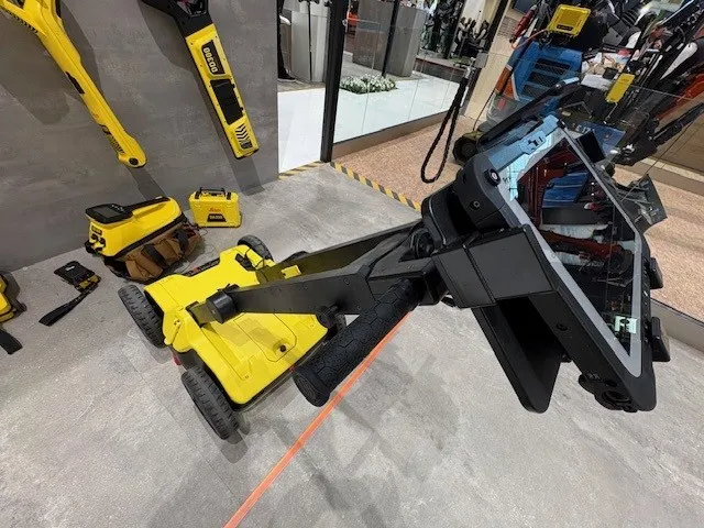
    Leica Geosystems says its DSX utility detection solution can quickly be walked over the area where work is about to start and immediately show an excavator operator any dangers that lie below.

    It locates, visualises and map utilities. Unlike any other ground penetrating radar system, the Leica DSX maximises productivity with cutting-edge software that automates data analysis and creates a 3D utility map of the field.