New technology can allow more productive and more cost-effective earthmoving jobs.
Mike Woof reports
New technology can allow more productive and more cost-effective earthmoving jobs. Mike Woof reports
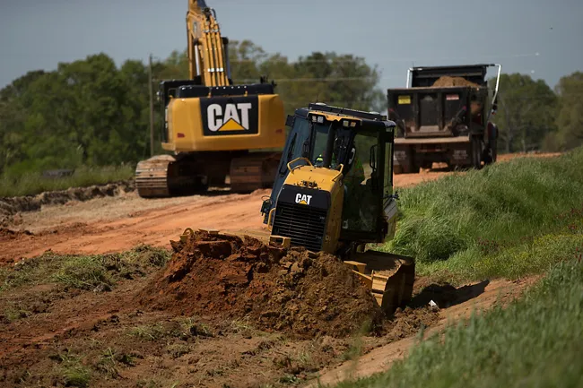
Machine control technology has made an enormous impact on the earthmoving sector in the last 15 years. The impact of commercially available GPS technology has already transformed the construction industry. However, with higher accuracy location signals and both US GPS+ and Russian Glonass systems now online, the benefits for construction users have been considerable. With the European Galileo positioning technology in development, satellite positioning technology will become even more accurate than at present.All three of the major machine control technology providers to the construction industry,
Machine control systems are easier to install and easier to use than before. Leica Geosystems says that its CI-14 CAT Interface Module cuts installation time when fitting its 2D & 3D machine control systems to
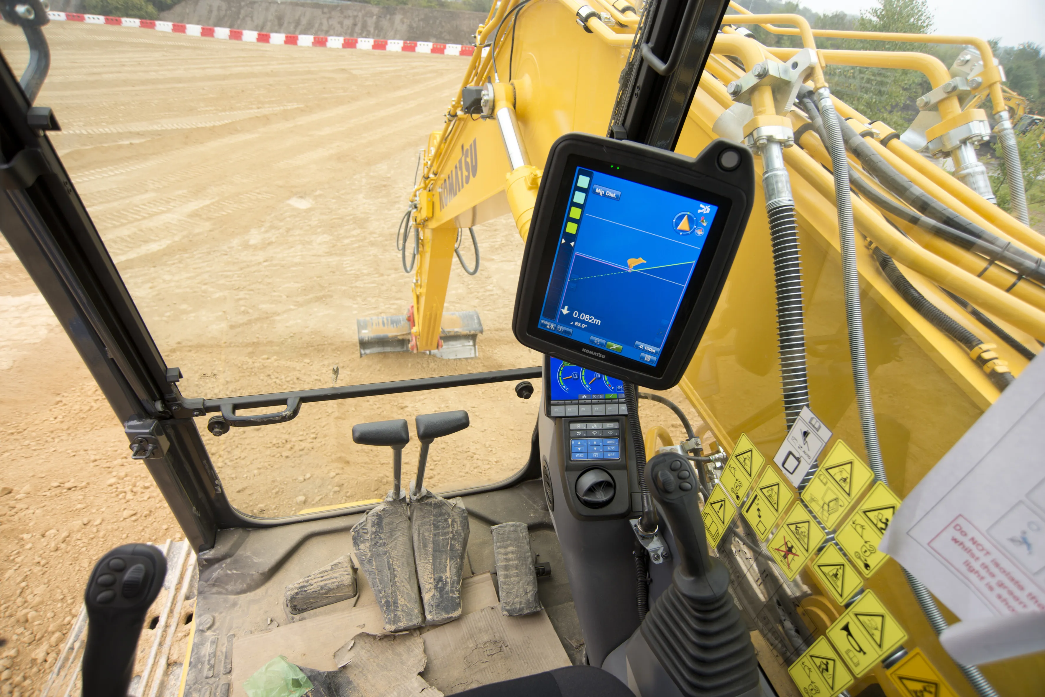
With the latest machine control systems able to scan for more satellites, the chances of systems 'canyoning' (going out of sight of satellites - a particular problem when operating in built-up urban areas or in mountainous regions) will be reduced. The speed of data transmission is also being increased and, coupled with the higher accuracy signals, this is offering substantial benefits to the construction sector. This means that equipment using the latest generation machine control systems can work at higher speeds, while still delivering an accurate finish that meets tight specification requirements.
Machine control and GPS specialist Topcon believes that it has an edge over its competitors with its latest system, which will make a significant productivity boost for earthmoving applications. When fitted to a bulldozer, Topcon's new 3DMC² system permits the machine to be driven at full speed in third gear, while still maintaining accuracy over blade control. Using this tool will allow bulldozers to carry out finishing work, removing the need for an extra finishing stage using a grader and cutting the time needed for an earthmoving project as well as some of the costs involved. According to Achiel Sturm, TEP product marketing manager for construction products at Topcon Europe, "We can go with a dozer in third gear and fine grade to the mm level."
Topcon says that the 3DMC² technology can speed up positioning calculations by a factor of 10 compared with conventional systems. The 3DMC² package uses both GPS+ and GLONASS technology, which allows a high rate of location checks and delivers precise positioning and accuracy. This third generation 3D system also uses inertial guidance technology, with a three gyroscope package from a Swedish supplier.
Topcon says that this system is based on a combination of algorithms, satellite signal filters and arithmetic formulas. Sturm said, "Using Topcon's GX-60 controller, MC-R3 satellite receiver and a specially designed inertial sensor, you can operate a dozer at a higher gear. That means less operating time, less fuel, less wear on a machine and most importantly, more time that can be spent on other work in other areas."
And while Topcon's 3DMC² package is available now the pace of technological development and levels of competition in this sector are high. Both Leica Geosystems and Trimble can be expected to have their equivalent technologies ready, practically in a blink of an eye.