Advanced surveying

Personnel using Spectra Precision FOCUS solutions can now benefit from a more robust set of tools. This field software provides a wide array of tools to cope with an array of survey and construction projects. One key new feature is the LandXML Road support for laying out engineering and road profile elements, as this can improve dataflow and efficiency on site. In addition, external data streaming for the output of measurement and positional data from Survey Pro in an XML output means that data can be adapt
February 9, 2012 Read time: 1 min
Personnel using 2373 Spectra Precision FOCUS solutions can now benefit from a more robust set of tools. This field software provides a wide array of tools to cope with an array of survey and construction projects. One key new feature is the LandXML Road support for laying out engineering and road profile elements, as this can improve dataflow and efficiency on site. In addition, external data streaming for the output of measurement and positional data from Survey Pro in an XML output means that data can be adapted to specific needs. And in Survey Pro version 4.10, the Spectra Precision Solution Improvement Program allows a user to opt-in to provide information about how field software is used, allowing future upgrades to benefit from field data.

For more information on companies in this article

Related Content

  • Real time site monitoring technology
    July 19, 2012
    Leica Geosystems is broadening its site monitoring technology with the introduction of the GeoMoS package. This can be linked to the firm's existing GNSS Spider software to offer an array of TPS and GNSS monitoring tools. Combined, these tools provide a web-based service for visualisation and analysis of monitoring. Authorised users can access a monitoring project using a web browser, pocket PC or mobile phone. Using the GeoMoS Web service, graphs and views can be customised and be tailored to the needs of
  • Free modeling: Improving efficiency in construction- site management
    July 24, 2025
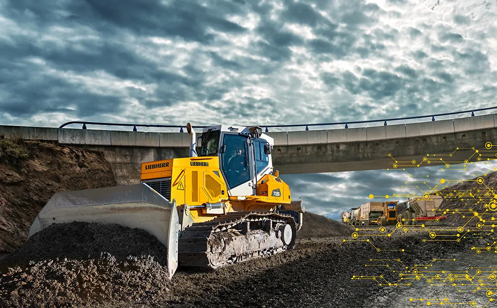
    Liebherr’s innovative Free Modeling technology enables road-construction operators to create and modify simple 3D site models directly from their machinery, enhancing real-time decision-making.
  • New solutions for 3D concrete paving controls
    February 20, 2012
    In concrete paving, Leica Geosystems has long held the dominant position in the market for stringless 3D controls. The company's products are well-accepted by contractors and have been used on an array of machines from different manufacturers with a high degree of success in recent years. GOMACO has been working with Leica Geosystems for some time and the two companies set up a partnership recently. This combination technology and business relationship has seen the placement of personnel from Leica Geosyste
  • Advances with soil compaction technology
    November 25, 2019
    New advances in soil compaction technology will help deliver speedy construction to tight quality standards - Mike Woof writes