
Vehicle tracking improves winter spreading safety

Aebi Schmidt UK and Masternaut Three X, one of the leading providers of vehicle tracking systems, have formed a partnership to improve safety on winter roads, save money and increase the efficiency of spreading fleets. The web-based Masternaut Three X satellite tracking system interfaces with the technology of Schmidt spreaders at levels to suit every highways authority, from tracking and reporting, through to the most detailed data on vehicle performance and fleet management. At the heart of the system is
March 2, 2012 Read time: 2 mins
1216 Aebi Schmidt UK and 3566 Masternaut Three X, one of the leading providers of vehicle tracking systems, have formed a partnership to improve safety on winter roads, save money and increase the efficiency of spreading fleets.

The web-based Masternaut Three X satellite tracking system interfaces with the technology of Schmidt spreaders at levels to suit every highways authority, from tracking and reporting, through to the most detailed data on vehicle performance and
fleet management. At the heart of the system is the legal requirement to provide accurate and timely reports of all winter vehicle operations.

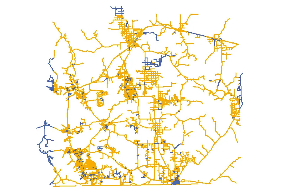
The Masternaut Three X system is based on extremely accurate tracking of vehicles, using the most up-to-date digital maps. The modular system allows highways authorities to adopt only the elements required for its operation, with fast and easy retro-fitting of additional benefits as they are found necessary.

It is ideally suited to Aebi Schmidt's winter maintenance service products, including highly accurate spreading systems capable of delivering salt and other treatments directly onto the road surface without wastage, as well as snowploughs, brushes and snow blowers.

Real-time information includes the location of all individual vehicles in the fleet, plus exactly what they are doing at any given time such as whether the vehicle is loading or unloading; spreading, including the width of road surface being treated and the spread rate; flow of salt and rate of flow, including adjustments to take account of operations in slow moving traffic and at roundabouts.

Masternaut Three X's digital mapping system enables routes to be optimised and pre-planned.

For more information on companies in this article

Related Content

  • How data mining and the intelligence it creates is helping sites run more effectively and efficiently
    December 13, 2022
    In this, the third in our series of top-level roundtable discussions led by World Highways, editor Mike Woof and roundtable host Nadira Tudor talk machine control technology with three world-class experts from Leica Geosystems (part of Hexagon), Topcon, and Trimble. There’s never been a more exciting time to be in construction as innovation makes us more productive, more efficient, more sustainable, and better connected. Autonomy means opportunity.
  • Italy’s renaissance bridge
    July 21, 2020
    Italian consulting company Italferr created a digital twin for designing the new Genoa bridge and won accolades at Bentley Systems: Bentley Year in Infrastructure Awards
  • 1Spatial works with Arizona to visualise road changes
    March 8, 2017
    The department of transportation in the US state of Arizona has automated its data processes, says Duncan Guthrie. In Arizona, the Department of Transportation (ADOT) is improving the way it responds to the demand for information from the Federal Highways Administration (FHWA). ADOT is implementing an automated, repeatable process to simplify and smooth the creation and maintenance of their state-wide dataset. This will meet reporting requirements for ARNOLD - All Road Network Of Linear Referenced Data - an
  • Traffic management software tools
    March 5, 2012
    A joint development project between Delcan Corporation and Intelligent Devices Incorporated (IDI) has resulted in the sophisticated Intelligent NETworks product. This is an integrated product that combines the IDI Intelligent Control NTCIP system with the Delcan advanced transportation applications of NETworks. The system can be linked to dynamic message signs (DMS), CCTV and vehicle detector stations (VDS), traffic intersections, as well as environment road weather sensor stations.