Valerann has won a €3.6 million contract from the European Space Agency (ESA) for a road traffic monitoring platform using artificial intelligence and satellite data.
Valerann, a provider of AI-powered, data-driven road traffic management solutions, said the contract is from ESA’s Business Applications and Space Solutions (BASS) programme which supports services that leverage space technology and data in key markets, such as transportation.
ESA Space Solutions focuses on the green transition and the global shift towards a more digital and sustainable future. The deal is aligned with the European Union’s Global Gateway Strategy to create seamless, sustainable and environmentally friendly international corridor management.
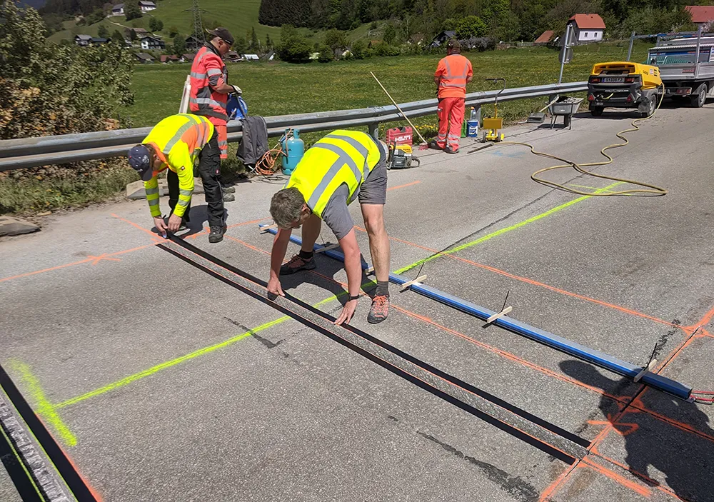
Investing in real-time traffic monitoring for both rural areas and motorways is equally important, as it can significantly improve safety, efficiency and emergency response, noted Michael Vardi, chief business officer and co-founder of Valerann. “This funding from ESA marks a significant milestone in our mission to transform road traffic safety and efficiency. By extending our monitoring capabilities to large, complex road networks and rural areas, we aim to further reduce accidents and improve response times, ultimately saving lives,” he said.
The basis for Valerann’s involvement is its Lanternn by Valerann (LbV), the company’s flagship product that helps road operators improve road safety. The advanced data analytics platform uses deep data fusion to process very large volumes of current and historical traffic-related data to instantly deliver a holistic, real-time overview of single corridor road traffic, including risk profiling, on a single pane of glass.
The company says that Lanternn by Valerann enables road traffic authorities in Europe, US, Central and Latin Americas to adopt a proactive road traffic management approach while achieving a double percentage reduction in serious traffic accidents.
Building on the success of LbV, the new transformational system to be introduced - Lanternn by Valerann for Networks - will feature crucial capabilities for managing national-scale road networks, arterial roads and intersections.
These include superior holistic coverage of traffic and road assets monitoring, risk management, improvement of incident management and prioritisation. It will do this while extending real-time traffic monitoring and predictive capabilities to underserved rural roads which often lack advanced monitoring systems.
Satellite positioning information derived from mobile and vehicle navigation applications will play a key role in enabling these capabilities.
LbV for networks aggregates data from various sources. These include street side sensors, third-party datasets and GNSS-derived (Global Navigation Satellite System) mobility data. It transforms this information into an enriched, unified dataset to ensure a cohesive view of traffic flow across complex networks, including urban and suburban roads, beyond the simplicity of a single road corridor.
Additionally, by leveraging GNSS data from fleets, LbV for Networks enables real-time monitoring of emergency vehicles, patrol units, snow ploughs and other operational assets. This allows national and municipal operators to improve response coordination and optimize road maintenance.
Satellite-enabled weather alerts will inform operators of dangerous weather events such as hailstorms and ice risks in order for proactive planning and intervention by road authorities.
Valerann’s products include the cloud platform Lanternn by Valerann which the company says improves road traffic authorities’ situational awareness, provides road traffic situation insights, including risk profiling and significantly reduces incident detection time. By leveraging proprietary AI and computer vision algorithms, Valerann processes large volumes of real-time traffic-related data and enable road traffic authorities to take accurate, actionable and timely decisions.
Established in 2016, Valerann has offices in the UK, US, Israel and Spain, but serves customers worldwide.