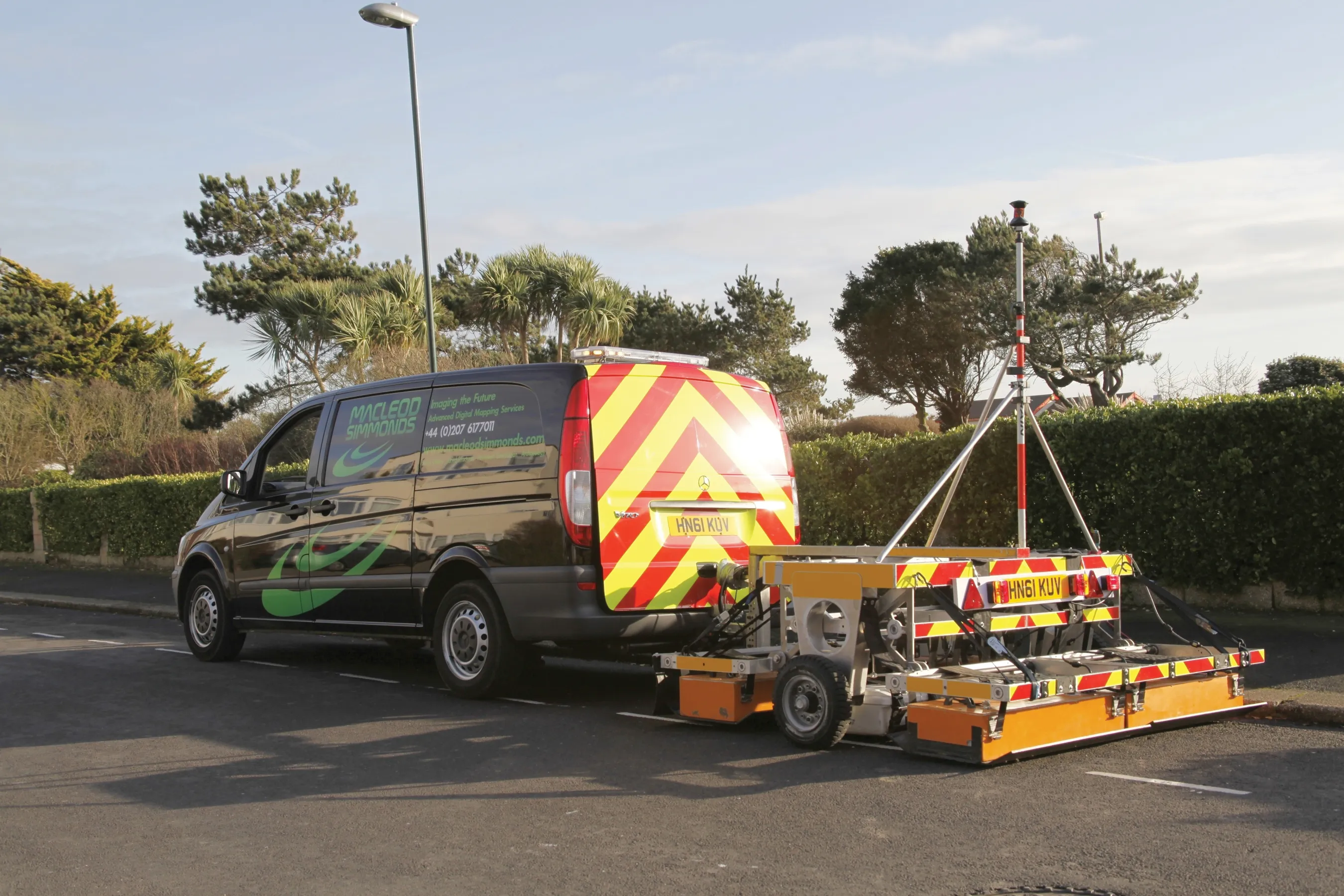
Innovative mobile radar technology that can detect subsurface problems is now being launched by surveying specialist Data Collection Limited. The system uses a specially designed vehicle to carry out surveys at normal traffic speeds. Ground-penetrating radar is used to generate a cross-sectional profile of the subsurface. This information can be used to assess road condition, helping with planning repairs and re-surfacing.
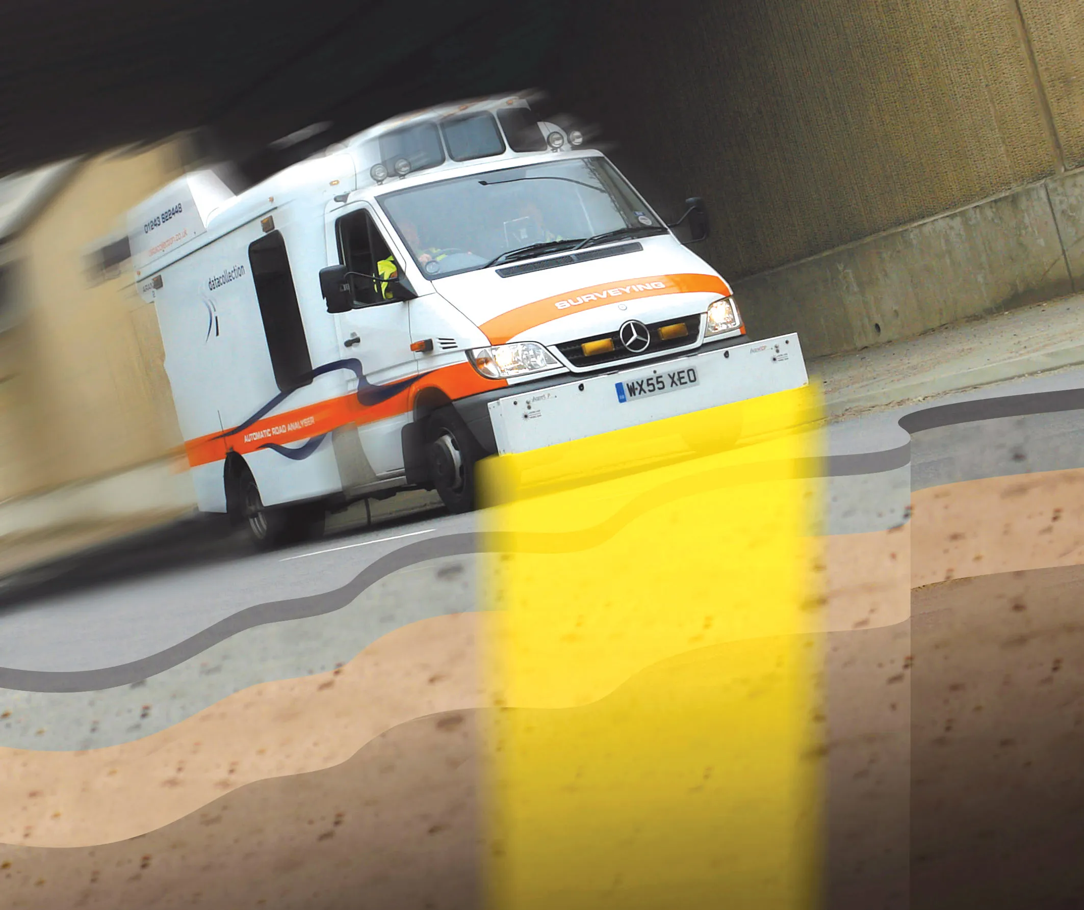
The ground penetrating radar (GPR) is fitted to a new electronic survey vehicle called ARAN2, which is also equipped with surface scanning systems and advanced technology to detect cracks down to 2mm in size. Unlike most conventional vehicles this allows surface and subsurface data to be collected at the same time.
The radar emits pulses of radio frequency energy into the road surface. With the transition of the pulses from one material to another, part of the energy echoes back to the surface and returning signals are processed to generate subsurface profiles. This equipment does away with the need for core sampling and means that survey data can be collected while travelling at normal traffic speeds. This GPR information maps layers to an accuracy of 5-10mm, and gives highway engineers a picture of road make-up and condition. On bridges, GPR is particularly useful for determining the location and thickness of concrete and asphalt layers, as well as reinforcing steel.