Underground sight

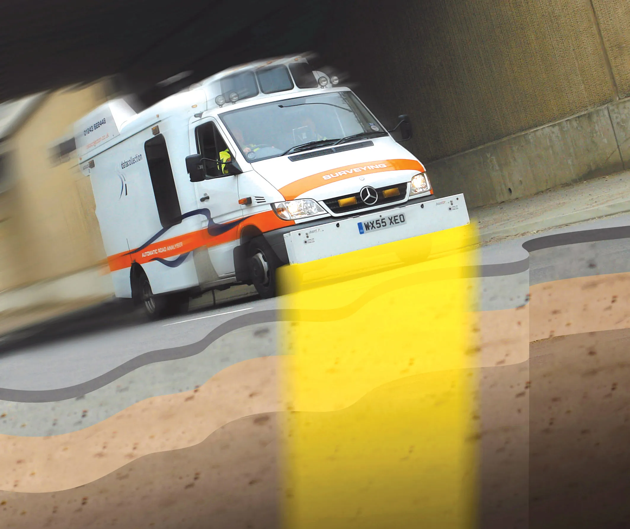
Innovative mobile radar technology that can detect subsurface problems is now being launched by surveying specialist Data Collection Limited. The system uses a specially designed vehicle to carry out surveys at normal traffic speeds. Ground-penetrating radar is used to generate a cross-sectional profile of the subsurface. This information can be used to assess road condition, helping with planning repairs and re-surfacing.
September 3, 2012 Read time: 2 mins
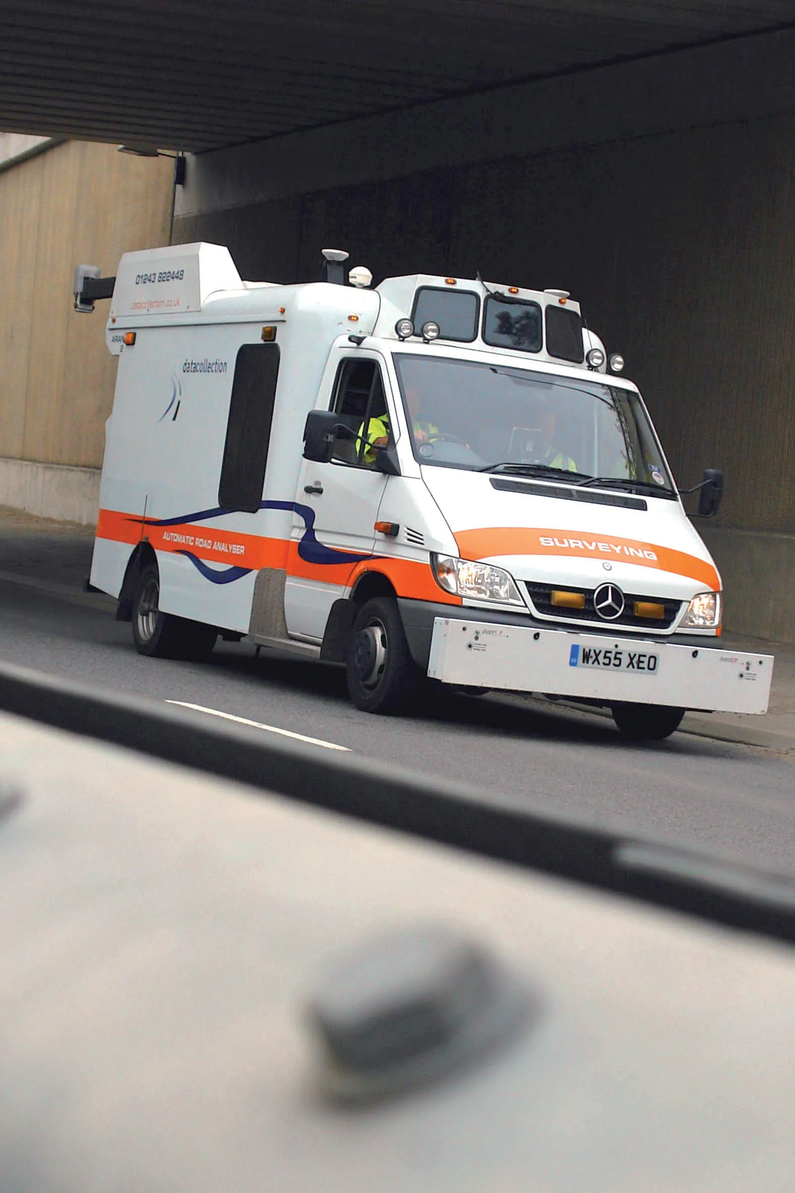
Travelling at highway speeds, this sophisticated survey package offers fast highway scanning

Innovative mobile radar technology that can detect subsurface problems is now being launched by surveying specialist Data Collection Limited. The system uses a specially designed vehicle to carry out surveys at normal traffic speeds. Ground-penetrating radar is used to generate a cross-sectional profile of the subsurface. This information can be used to assess road condition, helping with planning repairs and re-surfacing.

The ground penetrating radar (GPR) is fitted to a new electronic survey vehicle called ARAN2, which is also equipped with surface scanning systems and advanced technology to detect cracks down to 2mm in size. Unlike most conventional vehicles this allows surface and subsurface data to be collected at the same time.

The radar emits pulses of radio frequency energy into the road surface. With the transition of the pulses from one material to another, part of the energy echoes back to the surface and returning signals are processed to generate subsurface profiles. This equipment does away with the need for core sampling and means that survey data can be collected while travelling at normal traffic speeds. This GPR information maps layers to an accuracy of 5-10mm, and gives highway engineers a picture of road make-up and condition. On bridges, GPR is particularly useful for determining the location and thickness of concrete and asphalt layers, as well as reinforcing steel.

Related Content

  • Highway condition monitoring move
    August 2, 2012
    Geospatial surveying specialist Yotta DCL now has a contract with Southampton City Council for road surface condition monitoring and is using its advanced laser technology. Yotta DCL is surveying 300km of the city's roads using its sophisticated ARAN survey vehicle which uses innovative laser scanning and precision GPS systems. These surveys are operating as part of a UK Government-specified programme called Surface Condition Assessment for the National Network of Roads (SCANNER). This will provide the city
  • A virtual virtuous circle
    March 19, 2021
    Virtual sensors will allow a safer driving experience and reduce road maintenance costs. Tactile Mobility’s Eitan Grosbard talks to David Arminas
  • New methods for non-destructive concrete testing
    August 29, 2017
    How best is it possible to assess the state of concrete in a road pavement, bridge deck or tunnel wall? One of the most reliable ways is to take a core of concrete from the structure to analyse and test in the laboratory. One downside to this method is that doing the test creates weak points in the structure that must then be repaired. Another is that the frequency of such cores cannot be too great – so it is possible that some problem areas will be missed. New technologies from the world of geospatial eng
  • Asset management can be optimised with new technology
    August 22, 2013
    An array of asset management technologies and capabilities are now available to help clients optimise infrastructure assessments. Global survey and geotechnical group, Fugro, has signed a multi-year agreement with Dutch pavement consultant, KOAC•NPC. This move will see the firms combine capabilities to undertake highway surface condition contracts in the Netherlands. Under the agreement, Fugro will collect surface condition data using its ARAN road scanning vehicle. KOAC•NPC, will carry out the post pro