Underground sight

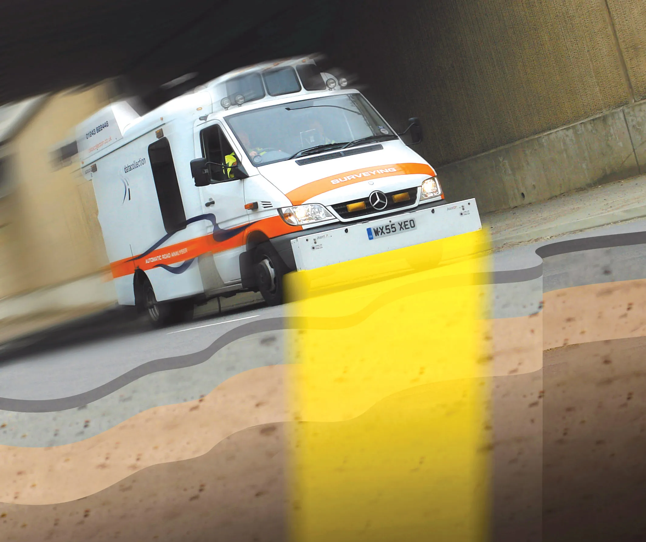
Innovative mobile radar technology that can detect subsurface problems is now being launched by surveying specialist Data Collection Limited. The system uses a specially designed vehicle to carry out surveys at normal traffic speeds. Ground-penetrating radar is used to generate a cross-sectional profile of the subsurface. This information can be used to assess road condition, helping with planning repairs and re-surfacing.
September 3, 2012 Read time: 2 mins
Travelling at highway speeds, this sophisticated survey package offers fast highway scanning

Innovative mobile radar technology that can detect subsurface problems is now being launched by surveying specialist Data Collection Limited. The system uses a specially designed vehicle to carry out surveys at normal traffic speeds. Ground-penetrating radar is used to generate a cross-sectional profile of the subsurface. This information can be used to assess road condition, helping with planning repairs and re-surfacing.

The ground penetrating radar (GPR) is fitted to a new electronic survey vehicle called ARAN2, which is also equipped with surface scanning systems and advanced technology to detect cracks down to 2mm in size. Unlike most conventional vehicles this allows surface and subsurface data to be collected at the same time.

The radar emits pulses of radio frequency energy into the road surface. With the transition of the pulses from one material to another, part of the energy echoes back to the surface and returning signals are processed to generate subsurface profiles. This equipment does away with the need for core sampling and means that survey data can be collected while travelling at normal traffic speeds. This GPR information maps layers to an accuracy of 5-10mm, and gives highway engineers a picture of road make-up and condition. On bridges, GPR is particularly useful for determining the location and thickness of concrete and asphalt layers, as well as reinforcing steel.

Related Content

  • The use of concrete cutting tools and tips for users
    October 8, 2015
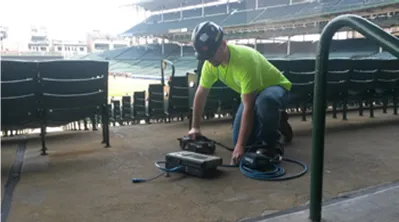
    Despite the proven importance of identifying metal targets and electrical lines before cutting into concrete, every day there are stories about mishaps that happen when the necessary reconnaissance is not done. In this article, a few firms that provide concrete scanning services weigh in on the critical importance of locating embedded and or buried obstructions by scanning for these features using ground penetrating radar (GPR). Also offered are tips for selecting the best GPR equipment and best practices f
  • New tests, new technology, new users: why materials testing is a growing market
    February 7, 2017
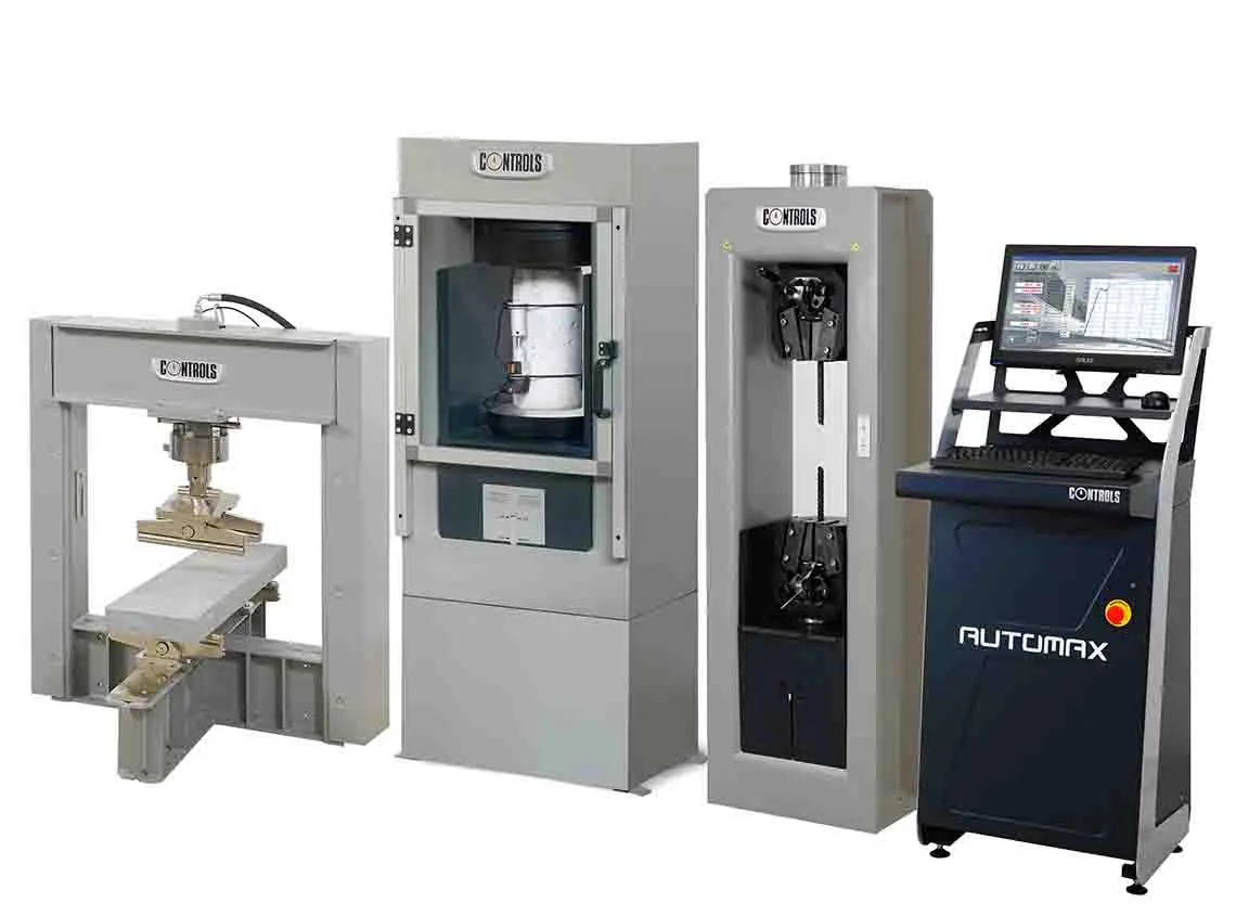
    A look back at some of the developments this year, and a look ahead to what may come next reveals the increasing use of materials testing. New technology and new ways to process and analyse data will drive change even further - Kristina Smith reports For materials testing equipment manufacturers, constant change is business as usual. New tests emerge, new standards are written and new practices spread around regions and the world. There are also new materials to deal with: bitumen modified with polymers
  • Ground penetrating radar used to investigate tunnel deterioration
    May 13, 2015
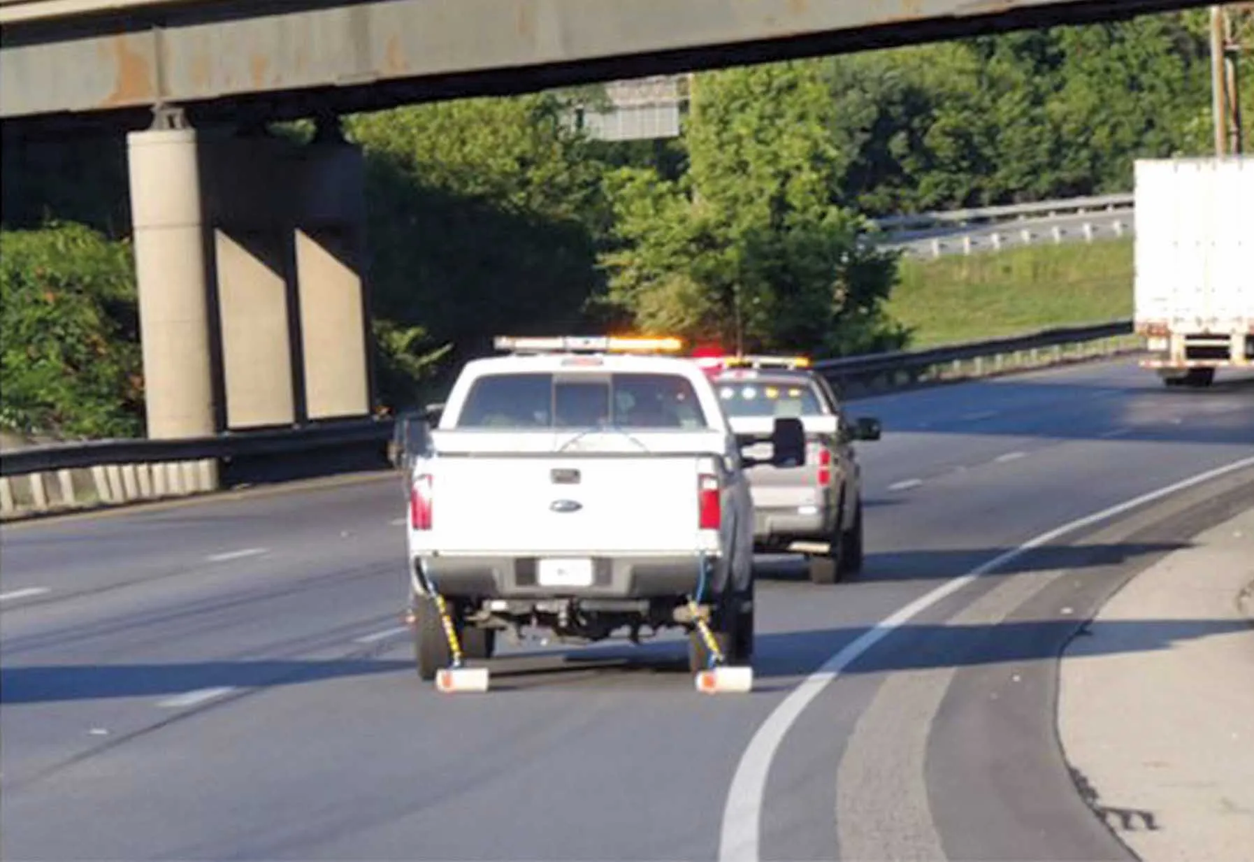
    Using ground penetrating radar to determine reason for serious pavement settling in Kentucky-Tennessee tunnel Just a few years after the opening of the Cumberland Gap Tunnel, highway officials noticed moderate to severe settling of the continuously reinforced concrete pavement. The mountain tunnel provides an important link between Kentucky and Tennessee along US25E and the problem looked serious, with many voids discovered beneath the pavement surface. To investigate the problems, the Kentucky Transpor
  • LiDAR surveying is making inroads into asset management
    December 18, 2017
    In the coming age of the autonomous vehicle, fast and accurate LiDAR surveying will be increasingly important, explains Valdis Vanags. The game-changing introduction of autonomous vehicles relies not only on intelligent traffic systems but well maintained roads to help computer-guided systems navigate using road markings. Laser scanning technology, too, is a game changer when it comes to planning and executing many civil engineering projects, including transport network upgrades and smart city initiatives.