Trimble’s new georeferencing package

Trimble company Applanix is now offering the POSPac MMS 8 package, an advanced GNSSaided inertial post-processing software for georeferencing data. This information can be collected from cameras, LIDARs, multibeam sonars and other sensors on mobile platforms. Using the Trimble CenterPoint RTX subscription service with the RTX technology, POSPac MMS 8 is said to offer new capabilities for mobile mapping from land, air, marine and UAV platforms. It can offer centimetre-level accuracy within one hour aft
March 13, 2017 Read time: 2 mins
2122 Trimble company Applanix is now offering the POSPac MMS 8 package, an advanced GNSSaided inertial post-processing software for georeferencing data. This information can be collected from cameras, LIDARs, multibeam sonars and other sensors on mobile platforms.

Using the Trimble CenterPoint RTX subscription service with the RTX technology, POSPac MMS 8 is said to offer new capabilities for mobile mapping from land, air, marine and UAV platforms.

It can offer centimetre-level accuracy within one hour after data collection with just an internet connection. The firm says it can be used to map inaccessible regions that have no existing continuously operational reference stations (CORS) without the cost of deploying local base stations. It can also provide reliable uptime using Trimble’s professionally managed, highly maintained private network and automatically survey in dedicated base stations direct from POSPac: streamline map production work_ ow.

A key advance is the integration of the Trimble RTX technology into POSPac MMS. The package also includes several new features such as a tool to avoid reworking with separate QC software that can be commuted to the field for running quality control on the GNSS observations to ensure accurate specifications can be met before leaving the project area.

For more information on companies in this article

Related Content

  • Weighty matters for developing countries
    November 6, 2012
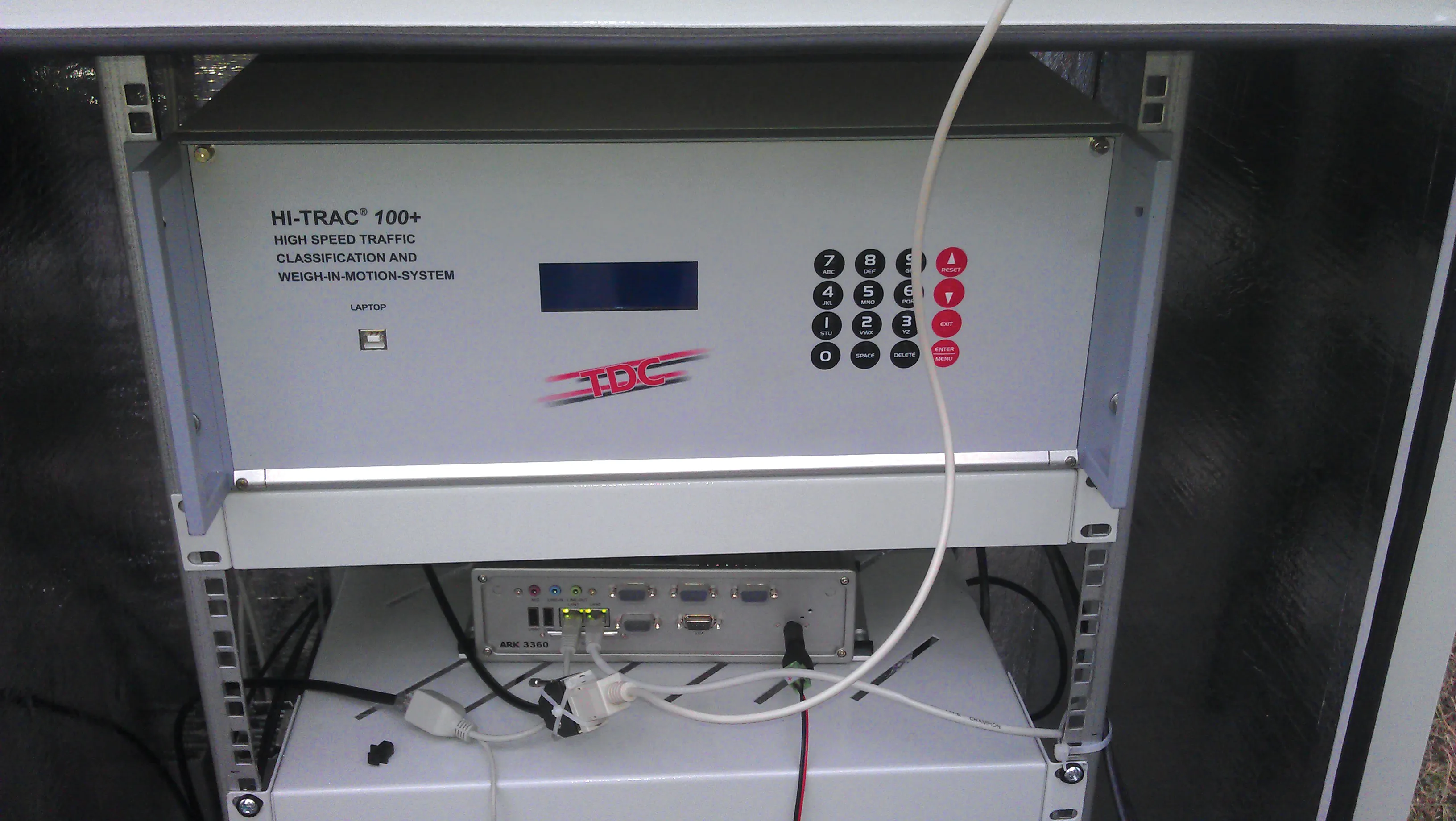
    One leading Weigh in Motion technology manufacturer is helping governments in developing countries reduce excessive road damage, while several others have seen their latest WIM systems recently used on the highways of Eastern Europe. Guy Woodford reports Recent Central Weighing WIM installations in Bangladesh are helping its national government reduce the financial burden of excessive road damage, while also protecting many bridges that are vital to transport and trade. The need for such installations was e
  • Runway refurbishment at Leipzig/Halle airport
    May 4, 2022
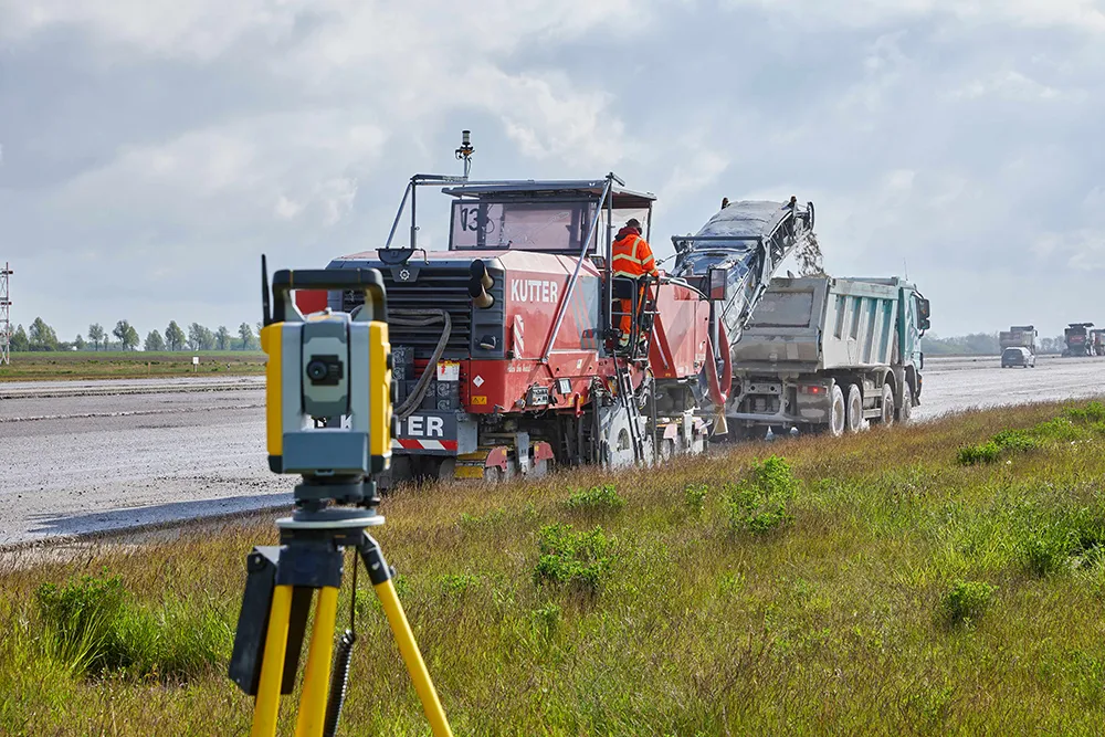
    Leipzig/Halle airport in Germany is now benefiting from a newly rehabilitated runway as well as a number of taxiways
  • Asphalt milling and paving with 3D control
    February 16, 2012
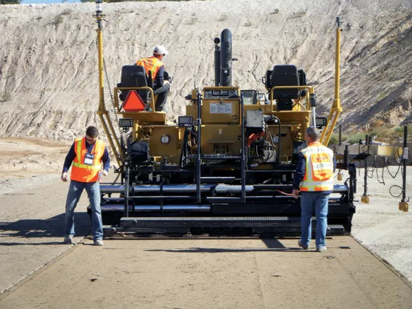
    Milling and paving repair operations for airport runways require particularly high tolerances, an obvious market for 3D control solutions writes Mike Woof. Airport runways require some of the most accurate quality standards and tightest tolerances of any asphalt or concrete surface. This is one area where the high precision capabilities of 3D systems offer clear advantages.
  • Market for GPS machine control systems growing fast
    February 14, 2012
    The sector for machine guidance systems is growing fast as contractors become more and more aware of the benefits of using this technology. Increased speed, working accuracy and cost effectiveness are key benefits of this technology, with just three firms, Trimble, Topcon and the Hexagon Group, dominating the market. The Hexagon Group is perhaps the newest entrant to the sector, having acquired Leica Geosystems and Scanlaser in recent years. John Fraser is sales and marketing manager at Scanlaser, and expla