Trimble’s new georeferencing package

Trimble company Applanix is now offering the POSPac MMS 8 package, an advanced GNSSaided inertial post-processing software for georeferencing data. This information can be collected from cameras, LIDARs, multibeam sonars and other sensors on mobile platforms. Using the Trimble CenterPoint RTX subscription service with the RTX technology, POSPac MMS 8 is said to offer new capabilities for mobile mapping from land, air, marine and UAV platforms. It can offer centimetre-level accuracy within one hour aft
March 13, 2017 Read time: 2 mins
2122 Trimble company Applanix is now offering the POSPac MMS 8 package, an advanced GNSSaided inertial post-processing software for georeferencing data. This information can be collected from cameras, LIDARs, multibeam sonars and other sensors on mobile platforms.

Using the Trimble CenterPoint RTX subscription service with the RTX technology, POSPac MMS 8 is said to offer new capabilities for mobile mapping from land, air, marine and UAV platforms.

It can offer centimetre-level accuracy within one hour after data collection with just an internet connection. The firm says it can be used to map inaccessible regions that have no existing continuously operational reference stations (CORS) without the cost of deploying local base stations. It can also provide reliable uptime using Trimble’s professionally managed, highly maintained private network and automatically survey in dedicated base stations direct from POSPac: streamline map production work_ ow.

A key advance is the integration of the Trimble RTX technology into POSPac MMS. The package also includes several new features such as a tool to avoid reworking with separate QC software that can be commuted to the field for running quality control on the GNSS observations to ensure accurate specifications can be met before leaving the project area.

For more information on companies in this article

Related Content

  • Florida and one.network in lane closure pilot
    August 30, 2022
    The project will use Live Link, one.network's proprietary shared road management platform that connects with major GPS providers in the US.
  • Accurate scanning
    February 6, 2012
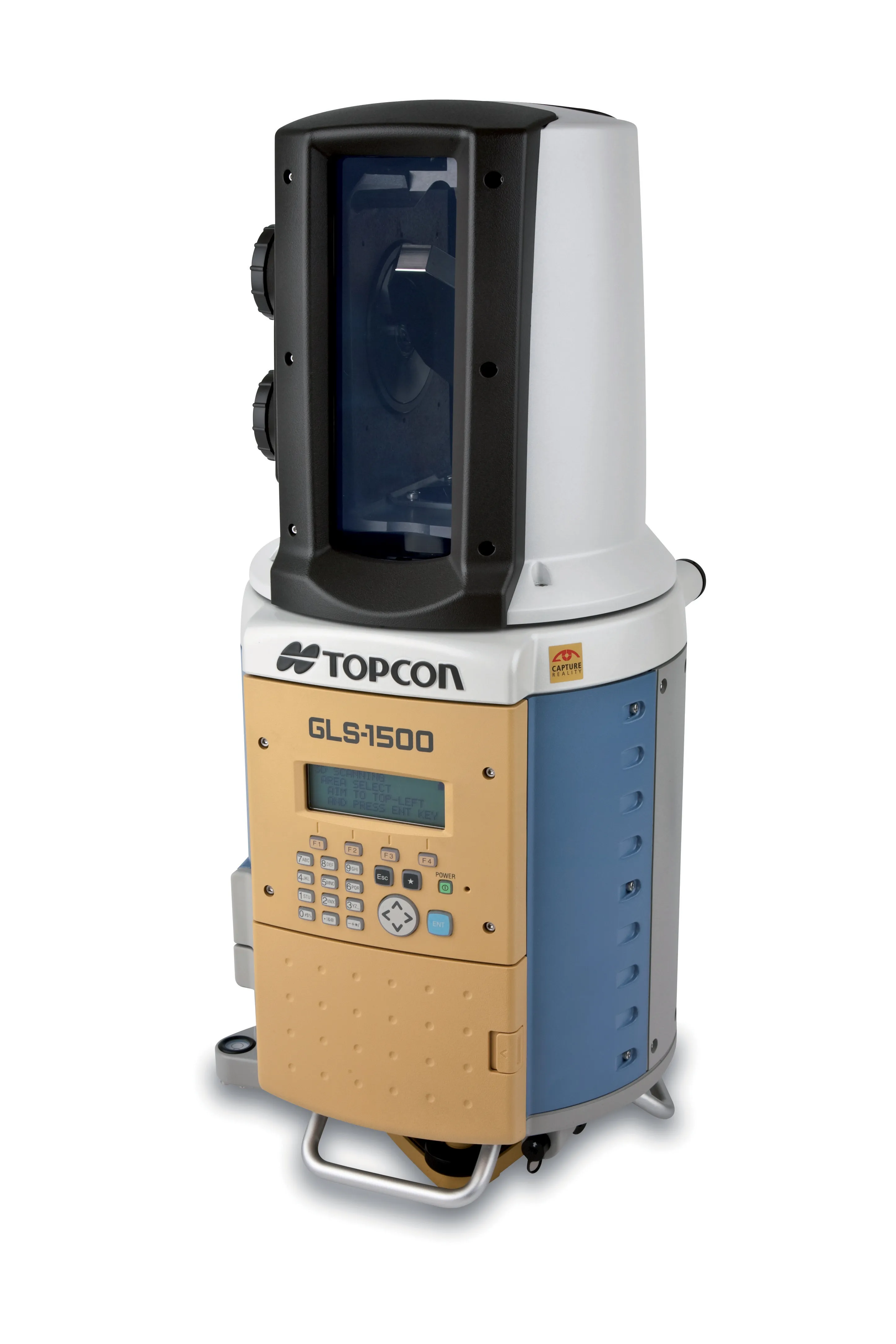
    TOPCON CLAIMS that its GLS- 1500 laser scanner speeds point cloud collection. This unit is 10 times faster than previous units and collects up to 30,000 points/second, reducing the amount of equipment needed in the field. The GLS-1500 offers a range of up to 330m and is designed for quick setup to save time and improve productivity.
  • Trimble testing tyre status accurately
    September 15, 2015
    Trimble has now integrated the sophisticated Advantage PressurePro tyre testing technology into its Connected Site portfolio. The PressurePro TPMS package can now be used efficiently along with the Trimble SNM451 Connected Site Gateway telematics device. This permits full tyre performance data to be used more efficiently within machine and vehicle fleets, expanding the functionality of the versatile and cost-effective SNM451. The SNM451 is a ruggedised telematics device for tracking and managing the e
  • Continued connectivity reflect Trimble launches
    January 6, 2017
    Three new solutions from Trimble Heavy Civil Construction designed to connect the construction site and lead to increased efficiency and reduced costs has been unveiled at the show. The solutions for heavy civil construction professionals include the Trimble Connected Office, the Trimble Connected Controller and the Trimble Connected Machine.