Trimble’s new georeferencing package

Trimble company Applanix is now offering the POSPac MMS 8 package, an advanced GNSSaided inertial post-processing software for georeferencing data. This information can be collected from cameras, LIDARs, multibeam sonars and other sensors on mobile platforms. Using the Trimble CenterPoint RTX subscription service with the RTX technology, POSPac MMS 8 is said to offer new capabilities for mobile mapping from land, air, marine and UAV platforms. It can offer centimetre-level accuracy within one hour aft
March 13, 2017 Read time: 2 mins
2122 Trimble company Applanix is now offering the POSPac MMS 8 package, an advanced GNSSaided inertial post-processing software for georeferencing data. This information can be collected from cameras, LIDARs, multibeam sonars and other sensors on mobile platforms.

Using the Trimble CenterPoint RTX subscription service with the RTX technology, POSPac MMS 8 is said to offer new capabilities for mobile mapping from land, air, marine and UAV platforms.

It can offer centimetre-level accuracy within one hour after data collection with just an internet connection. The firm says it can be used to map inaccessible regions that have no existing continuously operational reference stations (CORS) without the cost of deploying local base stations. It can also provide reliable uptime using Trimble’s professionally managed, highly maintained private network and automatically survey in dedicated base stations direct from POSPac: streamline map production work_ ow.

A key advance is the integration of the Trimble RTX technology into POSPac MMS. The package also includes several new features such as a tool to avoid reworking with separate QC software that can be commuted to the field for running quality control on the GNSS observations to ensure accurate specifications can be met before leaving the project area.

For more information on companies in this article

Related Content

  • It’s in with the new for asphalt plants
    April 4, 2013
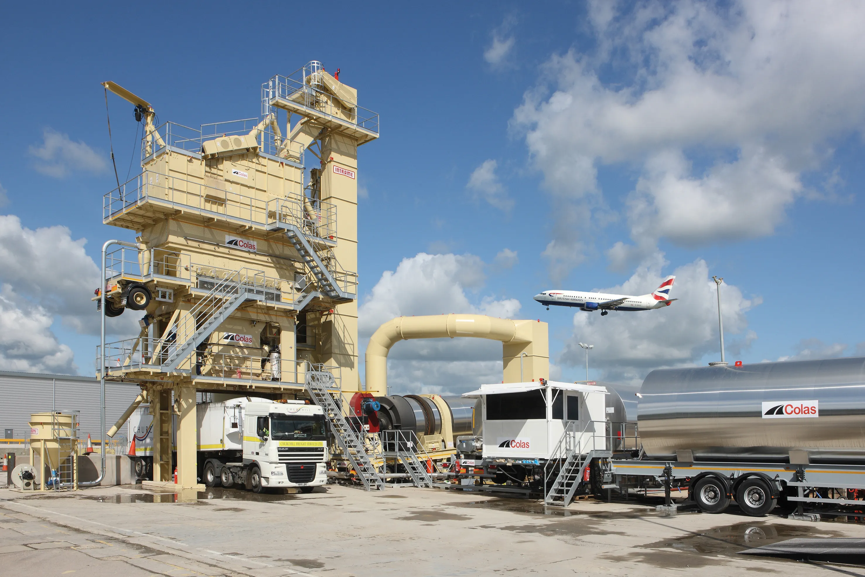
    A leading asphalt plant manufacturer is playing a key role in the upgrade of a major European airport, while another is said to have created one of the most modern plants in Europe. Meanwhile, a host of new plants and plant concepts have been, or are about to be, unveiled. Guy Woodford reports Intrame says its ultra-mobile UM-280 asphalt plant has played a key role in the resurfacing of the runway and taxiways at Gatwick Airport in southern England – the busiest single runway airport in the world. Around 35
  • Italy’s renaissance bridge
    July 21, 2020
    Italian consulting company Italferr created a digital twin for designing the new Genoa bridge and won accolades at Bentley Systems: Bentley Year in Infrastructure Awards
  • Control versatility
    July 2, 2012
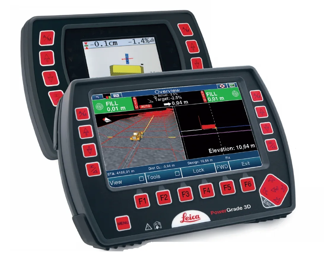
    Leica Geosystems says that its CI-14 CAT Interface Module cuts installation time when fitting its 2D & 3D machine control systems to Caterpillar off-highway machines. Using the CI-14 package is said to eliminate the cost and effort of installing add-on hydraulic valves when fitting control tools from Leica Geosystems to Caterpillar K and T Series dozers and M Series graders. The CI-14 system can be used in conjunction with laser, slope, ultrasonic or 3D GPS/GNSS as well as the Leica PowerTracker total stati
  • Leica’s GMX901plus GNSS receiver
    May 13, 2014
    The Leica GMX901plus is said by the Swiss firm to be an “affordable and rugged” GNSS receiver that delivers precise and reliable data about movements of sensitive structures such as mine walls, rock slopes, dams, and buildings. For time-critical applications that require high rate data and a higher accuracy the GMX901plus can be smoothly upgraded to a powerful L1/L2 GPS/GLONASS receiver with an update rate of 5Hz.