Trimble’s new georeferencing package

Trimble company Applanix is now offering the POSPac MMS 8 package, an advanced GNSSaided inertial post-processing software for georeferencing data. This information can be collected from cameras, LIDARs, multibeam sonars and other sensors on mobile platforms. Using the Trimble CenterPoint RTX subscription service with the RTX technology, POSPac MMS 8 is said to offer new capabilities for mobile mapping from land, air, marine and UAV platforms. It can offer centimetre-level accuracy within one hour aft
March 13, 2017 Read time: 2 mins
2122 Trimble company Applanix is now offering the POSPac MMS 8 package, an advanced GNSSaided inertial post-processing software for georeferencing data. This information can be collected from cameras, LIDARs, multibeam sonars and other sensors on mobile platforms.

Using the Trimble CenterPoint RTX subscription service with the RTX technology, POSPac MMS 8 is said to offer new capabilities for mobile mapping from land, air, marine and UAV platforms.

It can offer centimetre-level accuracy within one hour after data collection with just an internet connection. The firm says it can be used to map inaccessible regions that have no existing continuously operational reference stations (CORS) without the cost of deploying local base stations. It can also provide reliable uptime using Trimble’s professionally managed, highly maintained private network and automatically survey in dedicated base stations direct from POSPac: streamline map production work_ ow.

A key advance is the integration of the Trimble RTX technology into POSPac MMS. The package also includes several new features such as a tool to avoid reworking with separate QC software that can be commuted to the field for running quality control on the GNSS observations to ensure accurate specifications can be met before leaving the project area.

For more information on companies in this article

Related Content

  • New developments in road recycling and milling
    June 11, 2019
    New developments in road recycling and milling will allow contractors to remove old surfaces more quickly and efficiently – Mike Woof reports
  • Accurate milling and paving with Wirtgen
    March 15, 2022
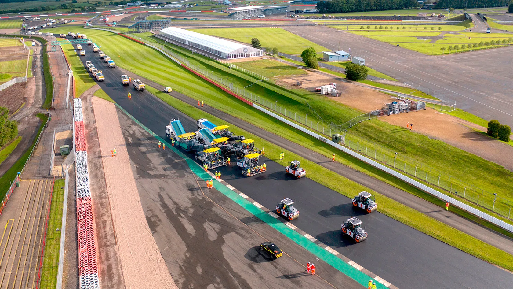
    Equipment from the Wirtgen Group, including equipment from Vögele, Hamm and Benninghoven, have been used to resurface the Silverstone circuit
  • CEMEX’s smart concrete technology move
    July 24, 2018
    CEMEX is developing its presence in the concrete technology segment with a strategic investment. The firm’s CEMEX Ventures division is buying a stake in the specialist Concrete Sensors, a US firm that carries out real-time monitoring of concrete. Concrete Sensors uses real-time data from sensors, allowing contractors to accelerate their schedules through accurate real-time monitoring of temperature, relative humidity, and strength with any mix design of concrete. The firm uses embedded wireless sensors, com
  • Topcon’s new total station offers increased imaging duties
    January 6, 2017
    A powerful new geodetic reference receiver from Topcon is said to offer improved performance over earlier versions. This new motorised total station now comes with the addition of imaging capability. The DS-200i is said to offer real-time, touch-screen video and photo imaging to capture measured positions. It is equipped with a 5MP camera. The firm says that equipped with its MAGNET software, the tool has an intuitive interface to assist when staking out complex structures. The DS-200i has been designed so