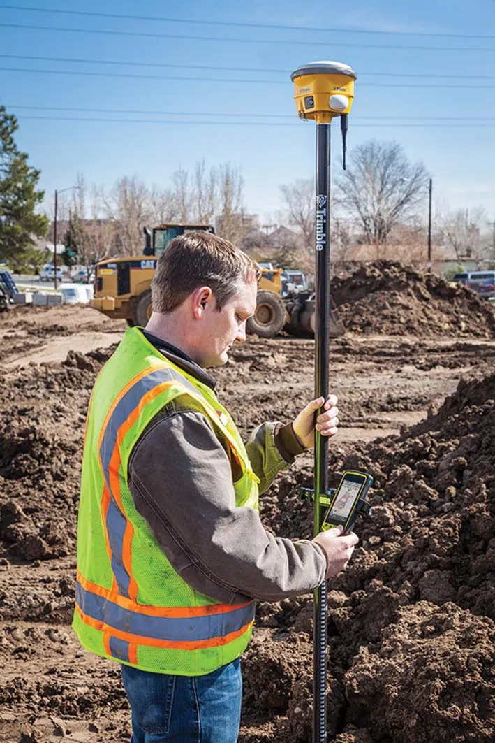
A powerful new geodetic reference receiver from Topcon is said to offer improved performance over earlier versions. This new motorised total station now comes with the addition of imaging capability. The DS-200i is said to offer real-time, touch-screen video and photo imaging to capture measured positions. It is equipped with a 5MP camera. The firm says that equipped with its MAGNET software, the tool has an intuitive interface to assist when staking out complex structures. The DS-200i has been designed so
A powerful new geodetic reference receiver from 342 Topcon is said to offer improved performance over earlier versions.
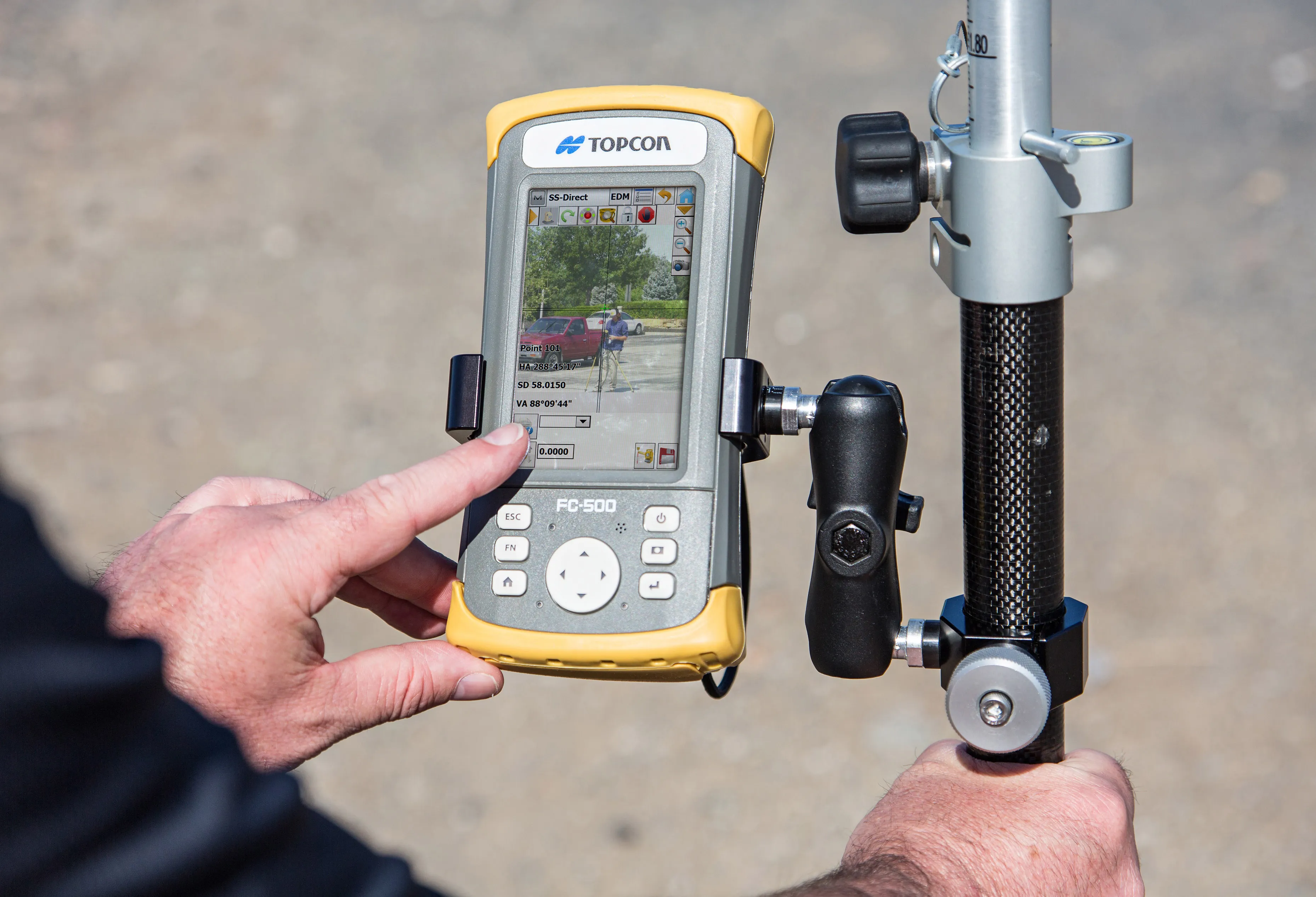
This new motorised total station now comes with the addition of imaging capability. The DS-200i is said to offer real-time, touch-screen video and photo imaging to capture measured positions. It is equipped with a 5MP camera. The firm says that equipped with its MAGNET software, the tool has an intuitive interface to assist when staking out complex structures. The DS-200i has been designed so that every measurement has the option of a photo which can be tagged as an attribute. Meanwhile the video function allows for non-prism measurements to be aimed and measured to remote objects, saving time without having to return to the tripod. And according to the firm, the live video allows a remote user to know exactly what is being measured.
The DS-200 — Direct Aiming Station — series can be used as a Hybrid Positioning solution, combining the total station with GNSS positioning for added measuring flexibility in obstructed environments. Standard additional features of the series include Xpointing technology for quick and reliable prism acquisition, LongLink communications, TSshield telematics security and maintenance technology, and a water-resistant construction.