Topcon Positioning Group says its new BIM solution - the LN-100 – is the world’s first 3D positioning system designed specifically for construction layout.
Said to offer seamless integration and flow of project data from the design to the field, the LN-100 is simple to operate, removing “the intimidation factor and reducing the learning curve in performing construction layout tasks,” according to Eduardo Falcon, Topcon Positioning Group executive vice president and general manager for the GeoPositioning
May 13, 2014
Read time: 3 mins
Said to offer seamless integration and flow of project data from the design to the field, the LN-100 is simple to operate, removing “the intimidation factor and reducing the learning curve in performing construction layout tasks,” according to Eduardo Falcon, Topcon Positioning Group executive vice president and general manager for the GeoPositioning Solutions Group.
Workflow is said to be simplified with the seamless integration of the LN-100 with Topcon’s MAGNET suite of software solutions. MAGNET Field Layout and Office Layout are specifically designed and configured to meet the needs of construction layout and BIM applications.
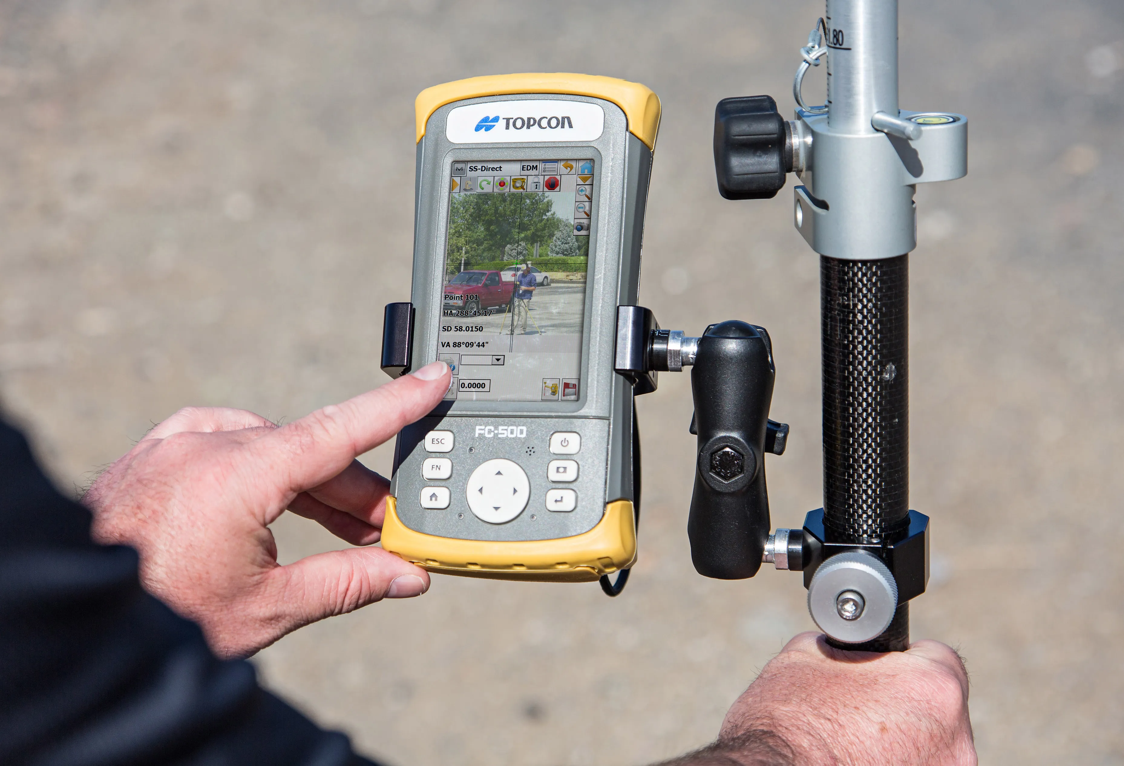
“All that’s required to begin operation is to place the LN-100 anywhere on a project site – on a tripod, column or on the ground – and press one button. The unit self-levels and an operator just has to turn on the wireless controller and get to work,” says Falcon.
With the wireless controller, an operator can call up simple point layout or CAD drawings anywhere on a site. “Display the design point or line that needs to be staked out, touch it, and the LN-100 laser immediately points to the exact location,” Falcon adds. The LN-100 can also lock onto a prism and guide an operator to the next design points. Its operating range allows it to cover a 200m diameter area.
The new 3D positioning system is said by Topcon to be ideal for BIM projects. “This innovative solution utilises Topcon’s time-proven laser and robotic total station technologies to provide a highly productive system that combines design and layout operations. The Topcon family of office software and controller solutions integrates seamlessly with a wide range of Autodesk BIM software and services,” explains Falcon. “Regardless of the job – building infrastructure, electrical, plumbing, foundation and footings, walls, ceilings, HVAC, underground utilities or basic landscaping on any job site – the customer has a solution that’s easy to use without sacrificing the required accuracy and performance.”
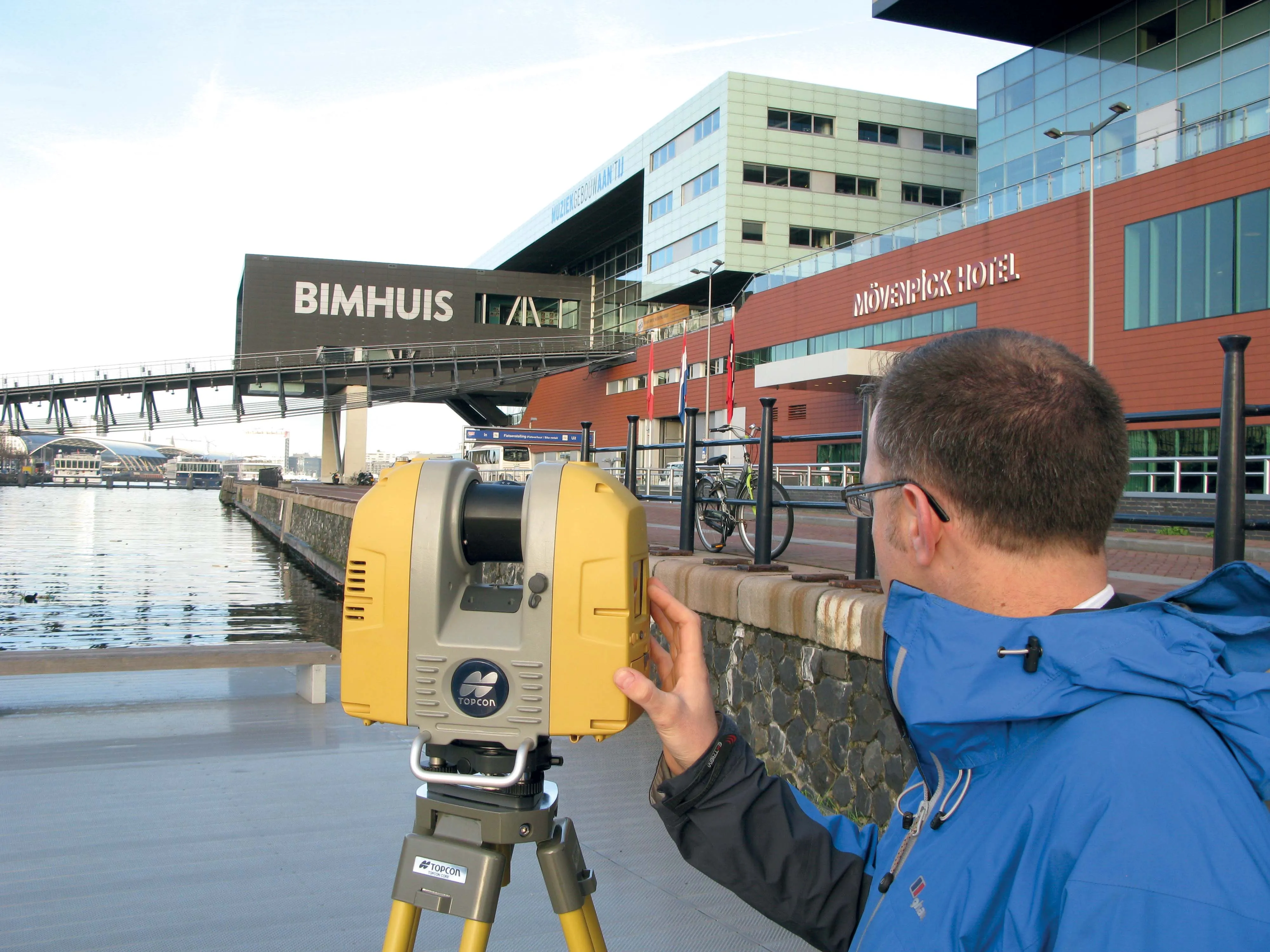
The LN-100 is the newest of Topcon’s BIM solutions, which include the GLS-2000 laser scanner, IS series of imaging robotic stations and the DS series of standard robotic stations.


