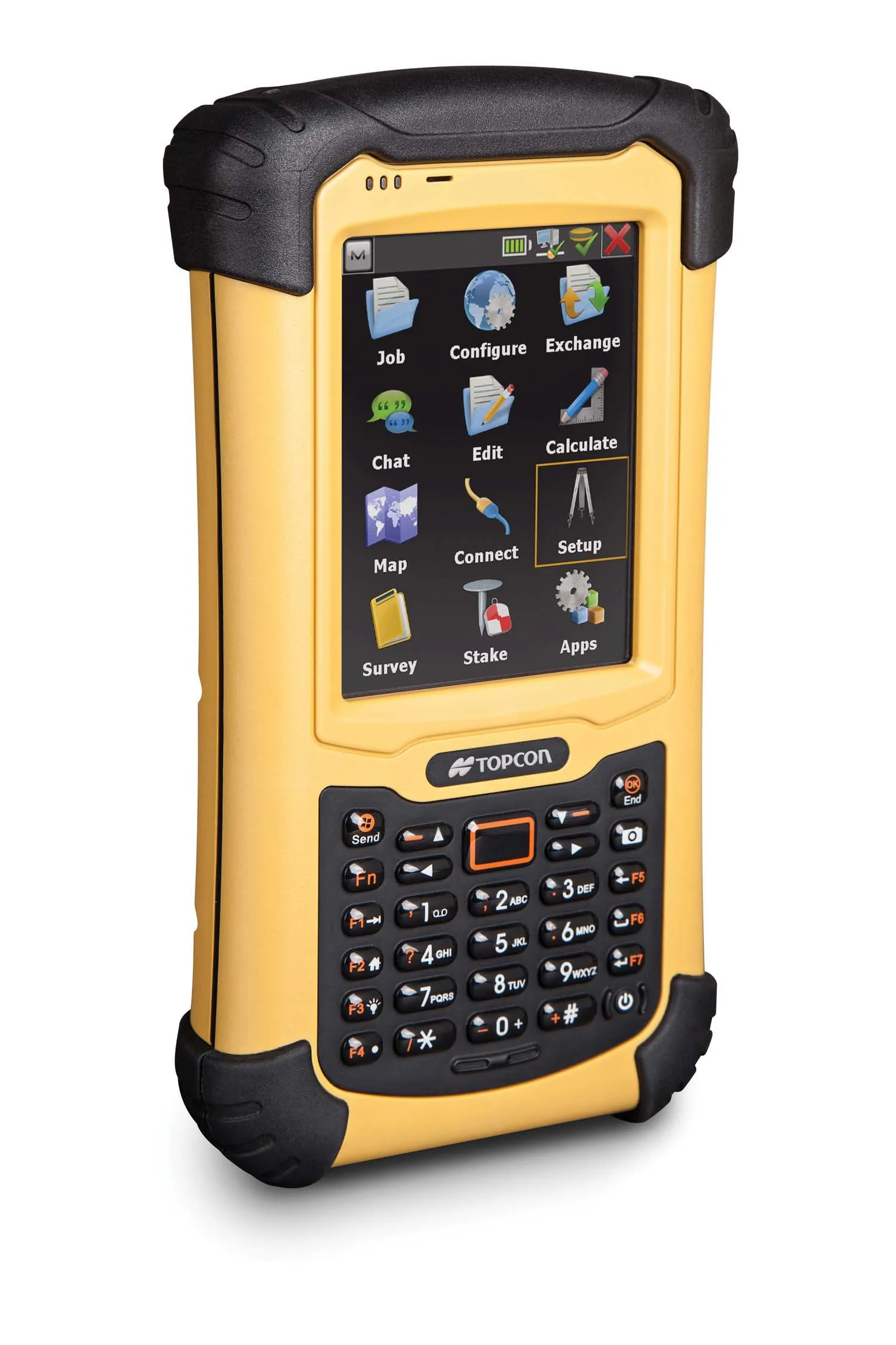
Topcon has unveiled its new FC-336 data controller designed specifically for the construction industry. In addition to providing field crews with access to MAGNET Enterprise to send and receive data files, the new controller operates with Topcon MAGNET Field, Site and Layout software, as well as Topcon Pocket 3D. A compact and lightweight handheld controller, the FC-336 works with all Topcon GNSS receivers and total stations.
Topcon has unveiled its new FC-336 data controller designed specifically for the construction industry. In addition to providing field crews with access to MAGNET ENTERPRISE to send and receive data files, the new controller operates with Topcon MAGNET Field, Site and Layout software, as well as Topcon Pocket 3D.
A compact and lightweight Handheld controller, the FC-336 works with all Topcon GNSS receivers and Total stations.
The new controller is dust and waterproof (IP68 environmental rating, submerged up to a metre), and has a Windows 6.5 operating system and built-in Bluetooth and WiFi connectivity.
Additional standard features of the FC-336 include a 1GHz processor; a 5MP camera with attached LED flash; 512MB RAM memory and 8GB of data storage; accessible, rechargeable and hot-swappable batteries; internal GPS positioning with 2-5m accuracy; e-compass and altimeter; an alpha-numeric keyboard; and an 8.9cm digital display. The FC-336 can operate in adverse conditions in temperatures from -22F (-30C) to 140F (60C).
The FC-336 unit also includes languages other than English (Spanish, French and German) and an optional global cellular modem. Ray Kerwin, Topcon director of global planning and survey products, said, “The internal cell modem sends and receives data with MAGNET products through the ‘cloud’ for easy transfer of information from any job site to or from a central office or operations centre.”
The Bluetooth and WiFi features also, said Kerwin, “allow use of the data controller in a typical ‘hotspot’ to access maps, internet information, email and transfer files quickly to the office”. The unit can be used with MAGNET software for precise positioning displayed on Bing Maps overlay.